The Sertão
Rolling hills, open roads, river valleys, and a different rhythm of life.
West of the Espinhaço, the land begins to open. Elevation gives way to distance, and trails give way to roads. The terrain softens into low hills and long, gently bending river valleys, where travel stretches outward instead of climbing upward.
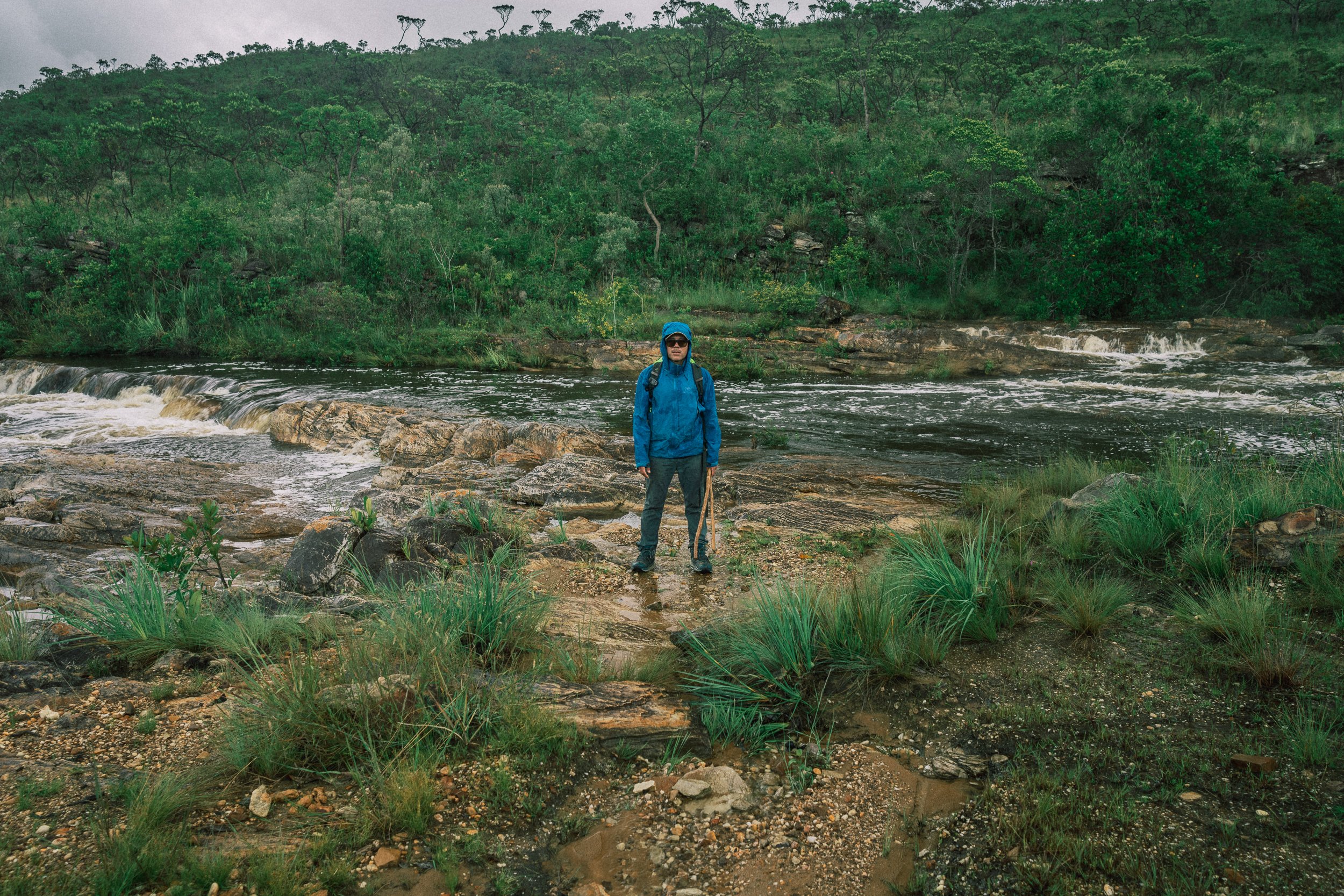
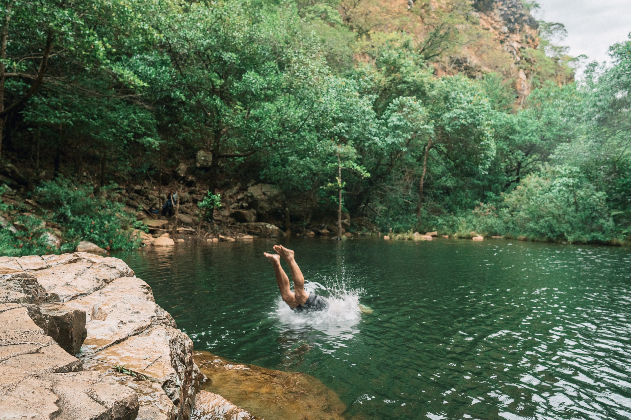
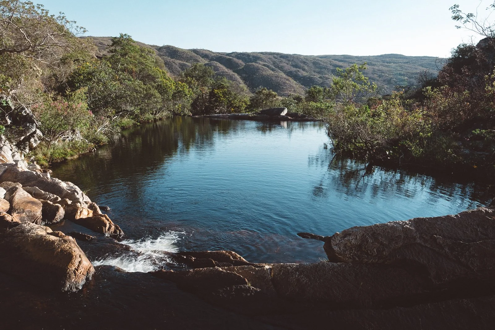
Water is never far on this side of the Espinhaço. It gathers in the rivers atop the western escarpment of the range, drops in wide, forceful falls, and settles into pools, springs, and slow-moving streams below, where people wash, swim, and linger.
Distances stretch out here, and evenings tend to follow with them. Travel happens on foot, by saddle, or along dirt roads that connect one community to the next. You move through pasture, along riverbanks, and between small, working towns where life sits close to the surface, often stopping longer than you meant to.
The Sertão is our circuit along the western reaches of the Espinhaço—a landscape of open Cerrado, working land, and small communities shaped by water, livestock, and time.
We tend to cross it in long, continuous stretches, often linking it with higher parts of the range. What lingers isn’t the distance, but the rhythm: long hours spent on the road, on horseback, at the table, at the cachoeira, and on shaded front porches, where time slows down and holds—often longer than you meant it to.
At a Glance
Our Sertão circuit follows the lowlands along the western edge of the Espinhaço Meridional, extending from the escarpments near Sempre Vivas National Park into the river valleys and agricultural communities beyond. It includes stretches of the São Francisco basin, the western approach to the Park, and the former railway corridor known as the Linha Verde.
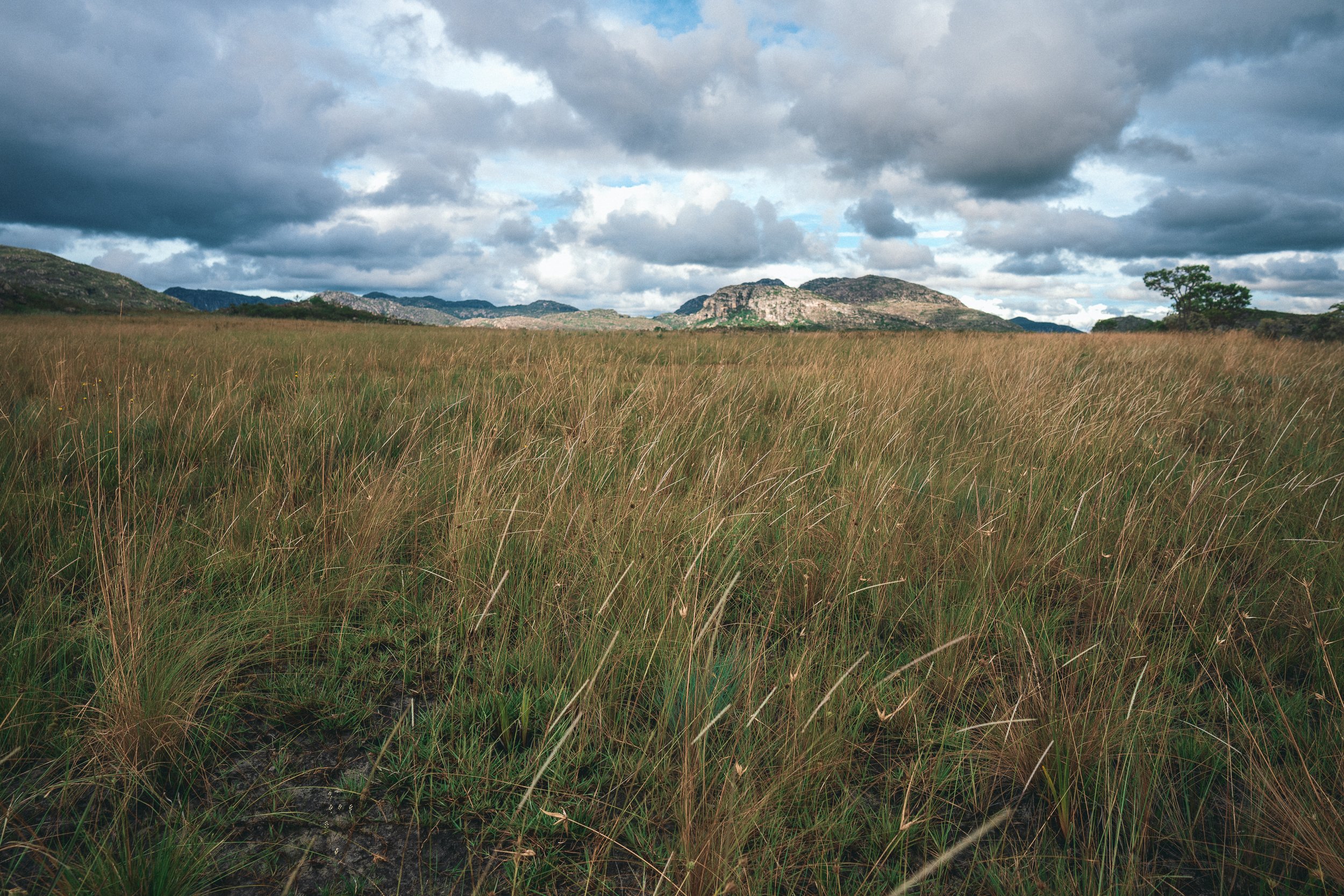
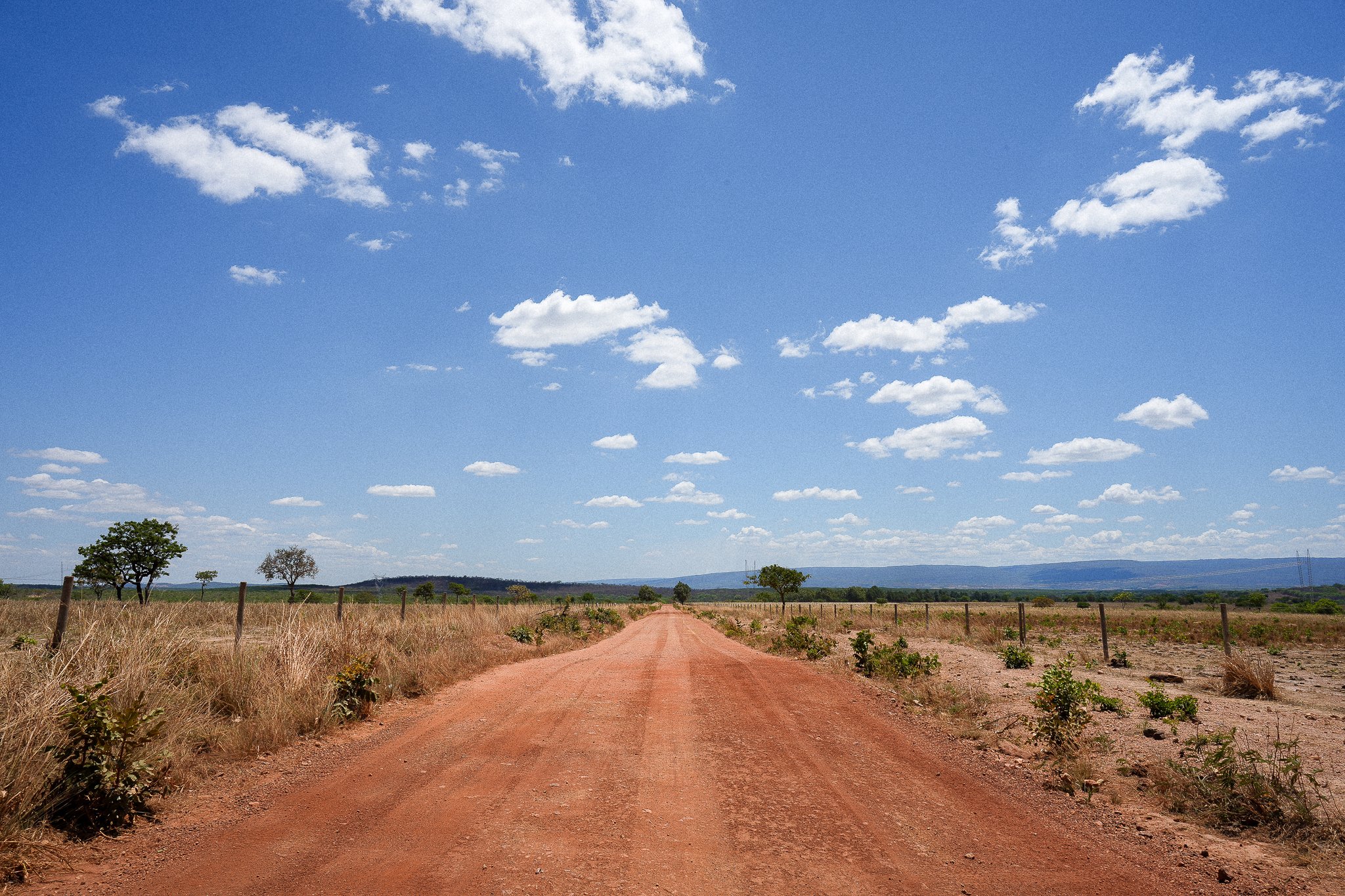
The terrain here is more open than elsewhere in the range. Low hills, pastureland, and gently bending rivers replace the steep climbs and dense trail networks of the highlands. The Cerrado appears here in a more familiar form—dry woodland, scrub, and seasonal forest—broken by river corridors and the occasional pocket of wetter ground.
In much of Brazil, the word sertão is associated with hard times and unforgiving conditions. Here, along the Espinhaço, water is everywhere. Rivers gather along the western escarpment before dropping into wide, forceful falls, then run out through the valleys below, slowing, widening, and settling into the rhythm of the places they pass. Swimming holes, springs, and thermal waters appear throughout the circuit.
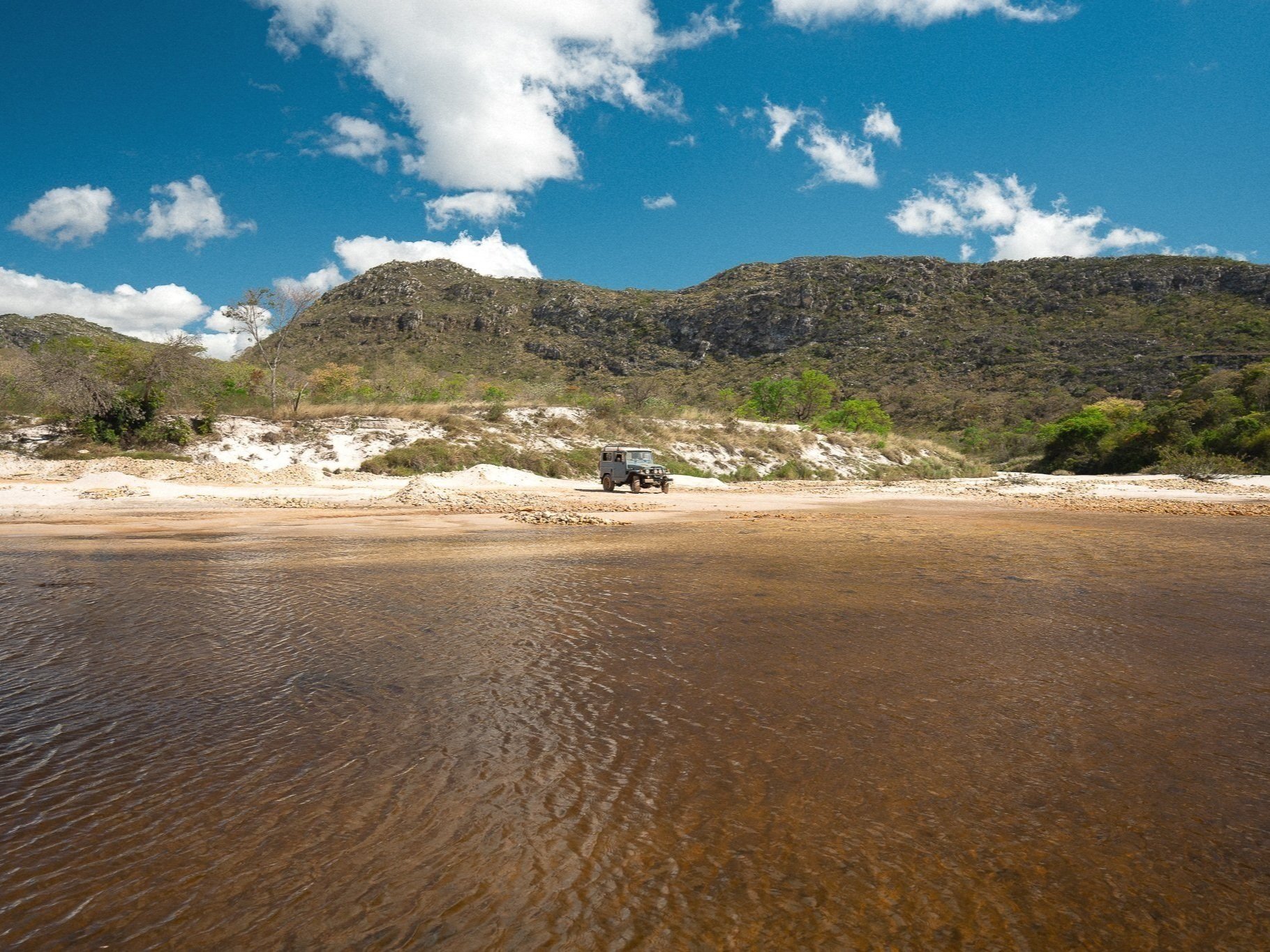
Travel here follows roads and railways as much as trails. Dirt roads connect one community to the next, and much of the circuit lends itself to overland travel and horseback riding. Trekking in this part of the Espinhaço takes on a pilgrimage feel. Distances are long, and many of our crossings come together as a mix of foot, saddle, and 4×4, shaped as much by the ground as by the waterfalls and swimming holes along the way.
Communities are a constant presence. Small towns, ranches, and former railway towns sit along the route, offering places to stop, eat, and stay. Accommodations range from simple pousadas and homestays to farm-based stays and occasional hot spring properties.
The Sertão sits at the far western edge of the Espinhaço. Reaching it often means committing to distance—either in long treks from the highlands or in slower, more varied routes that combine road, saddle, and time on foot. It can be experienced on its own, but more often it becomes part of a longer passage through the range, where the pace softens and the days and evenings take on a different rhythm.

Sunset over the Sertão (April)
Who This Circuit is For
The Sertão tends to suit travelers who want to slow down and spend time inside the everyday rhythms of the Brazilian interior—small towns, working landscapes, and the kind of places where life happens in the open. It’s a natural fit for those drawn to good food, long conversations, shaded front porches, and the friendly presence of people going about their day.
It’s also one of the more accessible parts of the Espinhaço in terms of terrain, but not in distance. Days are often long—especially on foot—and while the effort is less concentrated than in the highlands, the ground covered can be significant. The rhythm here in the lowlands is different: less about pushing over passes, and more about settling into the space between places.
Travelers who enjoy variety tend to do well here. Time on foot can be balanced with time riding and driving, often in the same day, with stops at rivers, waterfalls, and small towns along the way. The experience builds through contrast: movement and stillness, heat and water, road and table.
For those less focused on sustained trekking, the Sertão offers a different way in—driving or riding between communities, walking out to little-visited waterfalls, spending time with hosts, and easing into the landscape at a more gradual pace.
Those looking for more rugged trails, highland views, remote wilderness, or extended time away from infrastructure often find a better fit elsewhere in the range.
For others, the Sertão becomes a place to ease into or out of longer crossings. A place where the pace softens, the days open up, and time is spent as much with people as it is on the trail.

Curimataí (September)

Cachoeira das Fadas (October)
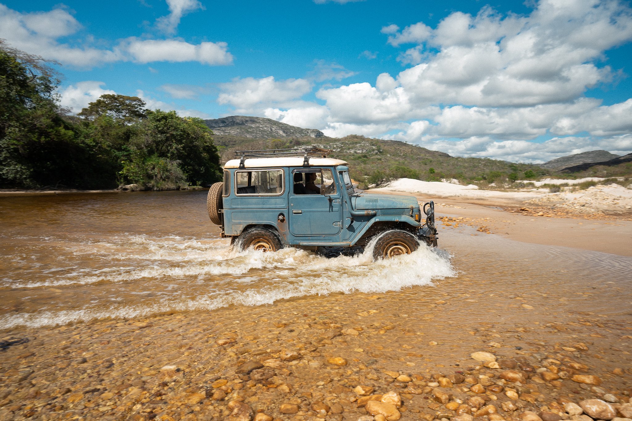
Crossing the Rio Pardo (September)

Hiking the Linha Verde (August)
She Who Shall Remain Nameless (April)
Water and Ground — Draft
Water defines this part of the range.
Along the western edge of the Espinhaço, rivers gather at elevation before dropping sharply over the escarpment, forming some of the largest and most forceful waterfalls in the region. From there, they run out through the lowlands—slowing, widening, and breaking into pools, channels, and long stretches of swimmable water.
The character of the ground follows. Dry woodland and pasture give way to riparian corridors, shaded riverbanks, and the occasional pocket of wetter terrain where water lingers just beneath the surface. In places, the shift is gradual. In others, it happens all at once: a hot, open road giving way to a cold river and a place to stop.
Water is part of the day here. It’s where you cool off, where you linger, and often where the route bends—toward a fall, a pool, or a stretch of river that’s too good to pass by.
Some of the best-known sites in the region—places like Telésforo or Santa Rita—sit within this system, but much of it remains lightly visited. Away from the main access points, you’ll often find yourself alone, or sharing the space with the people who live nearby.
Hot springs appear throughout the circuit as well, sometimes developed, sometimes not. Even at their warmest, they’re less about heat than about contrast—another way the landscape resets itself over the course of a long day.

River Crossing, Santa Rita

Preparing to climb, Near Santa Rita
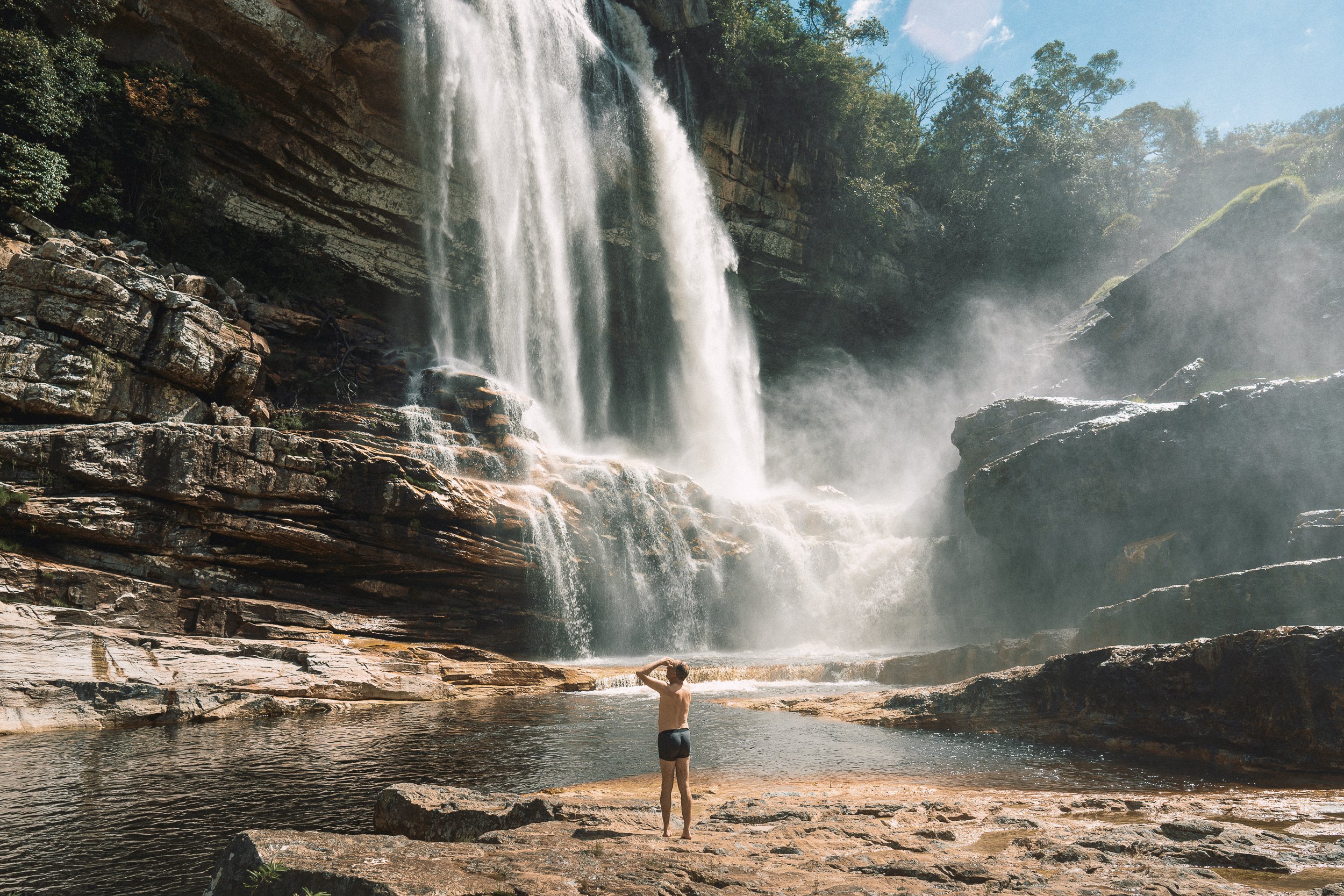
Highlight: Her Majesty, Santa Rita
Pristine, majestic, and appropriately daunting to get to, Santa Rita Falls marks the grand western entrance to Sempre Vivas National Park, and to the western escarpment of the Espinhaço, in general.
Known to only a handful of folks on the planet—nearly all of whom lived or worked in the immediate surrounding area—prior to the Pandemic, the falls continue to be more of a rumor than an attraction thanks to the lack of climbing ropes and an easily navigable trail.
We’ll need to engage in a pair of harrowing, but brief climbs to reach the base & come back up again. The view alone makes the excursion worth it, but the swim (water level permitting) takes it to a whole new level. Vamo que vamo!
Santa Rita (September)
Highlight: Far-Flung Santa Rita
Come for the mythical waterfall, stay for… the gentle breeze rolling over the pastures? We’re not sure what it is about tiny Santa Rita (the town, not the nearby waterfall; pop. 12?) that makes it linger on our minds, but whatever it is, we can’t seem to get enough.
Cast away on an impossibly privileged patch of windswept, high-altitude campos between the mountains of the Espinhaço and the sweltering lowlands below, this remote ranching outpost inhabited by a clan of likable, hard-drinking cattlefolk is either the beginning of the Sertão or the last stand of the Espinhaço… or both.
Vila de Santa Bárbara (October)
Highlight: Santa Bárbara
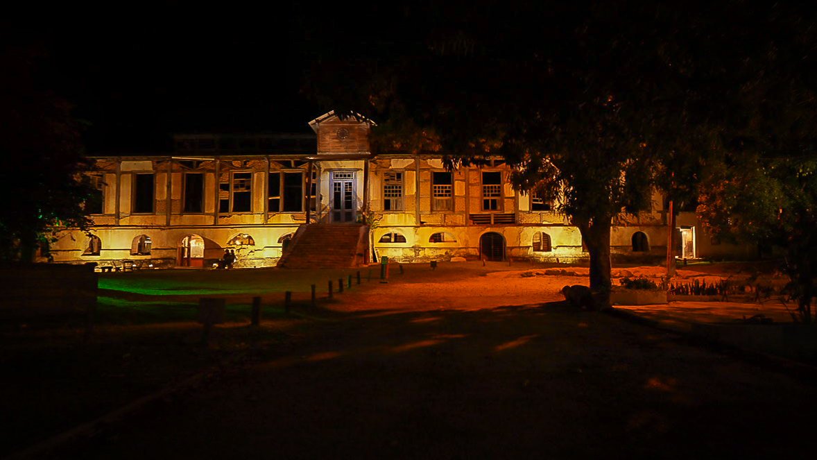
The incomparable “vila” of Santa Bárbara is full of contradictions. A bonafide oasis (replete with hot springs, swimming pools, crystalline creeks, and a resplendent waterfall) in the middle of the dusty Sertão? A partially restored historic textile mill that doubles as a chic hot springs resort town? A chic hot springs resort town featuring “chalets” that look like (and, in fact, are) decadent former employee homes?
Quirky, a little unorganized, and more than a little self-important—yet undeniably gorgeous & gostoso—Santa Bárbara is as much of an experience as it is a place, and honestly, its unmissable & unforgettable as both. There’s a lot to take in, and we’re always exceedingly grateful to try our best. Few places in the Espinhaço are better suited for 24 (or 48) hours of R&R.
The Old Textile MilL, Santa Bárbara

Deserts, Santa Bárbara

Night Time Adventure, Santa Bárbara

Sunset, Santa Bárbara
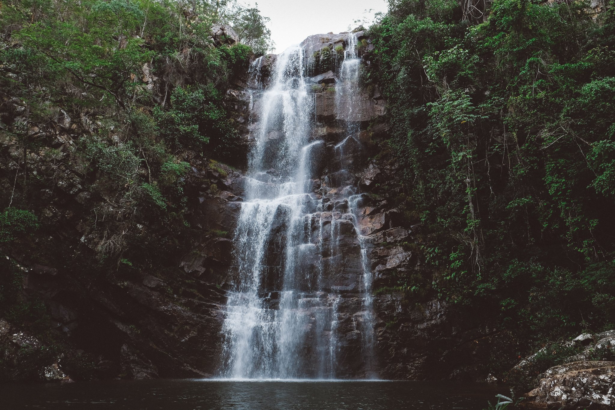
Fairy Falls (November)
Highlight: Mystical Conselheiro Mata
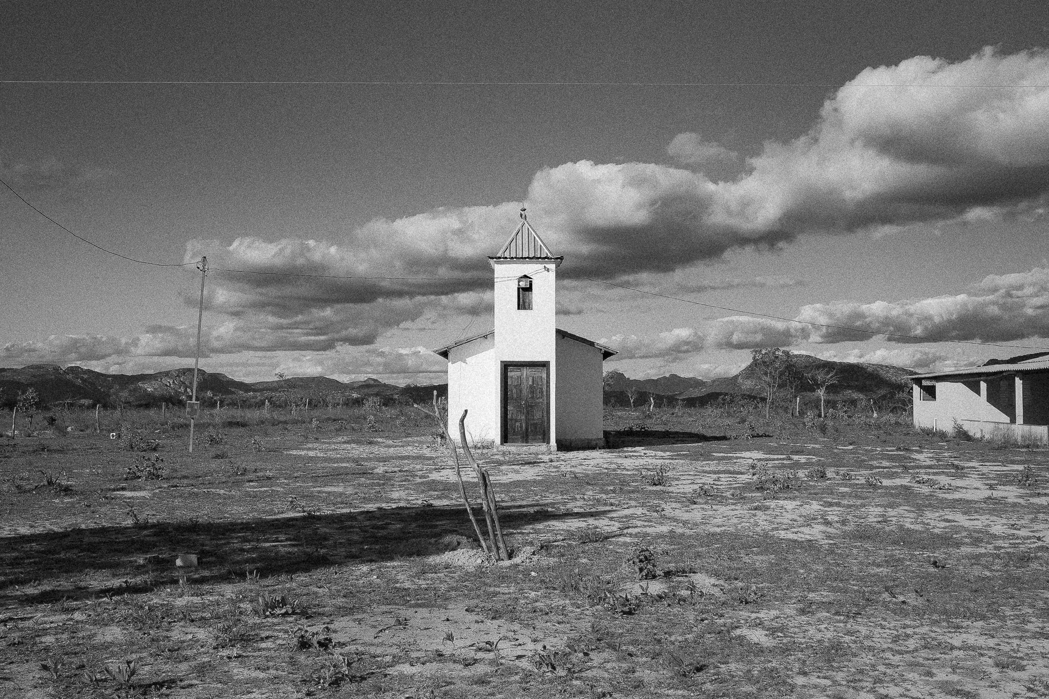
A dusty, rough-around-the-edges (but only the edges) town that time forgot, Conselheiro Mata (pop. 200) feels like a regional homage to the American Wild West, but its diverse residents, fertile soil, and location halfway between Diamantina & the cowboy-cultured Sertão makes its cultural identity a bit more murky: is this a (crystal) mining town? A mystic town? Or the beginning of cattle country?
The decision may not be Conselheiro’s to make: the sleepy community is blessed with a plethora of waterfalls that range from thunderous (Cachoeira do Trombador) to magical (Cachoeira das Fadas) to downright world-class (Cachoeira do Telesforo), and social media influencers & Belo Horizontinos have begun taking notice.
In our minds, Conselheiro is an ecotourism town. It just doesn’t know it yet.
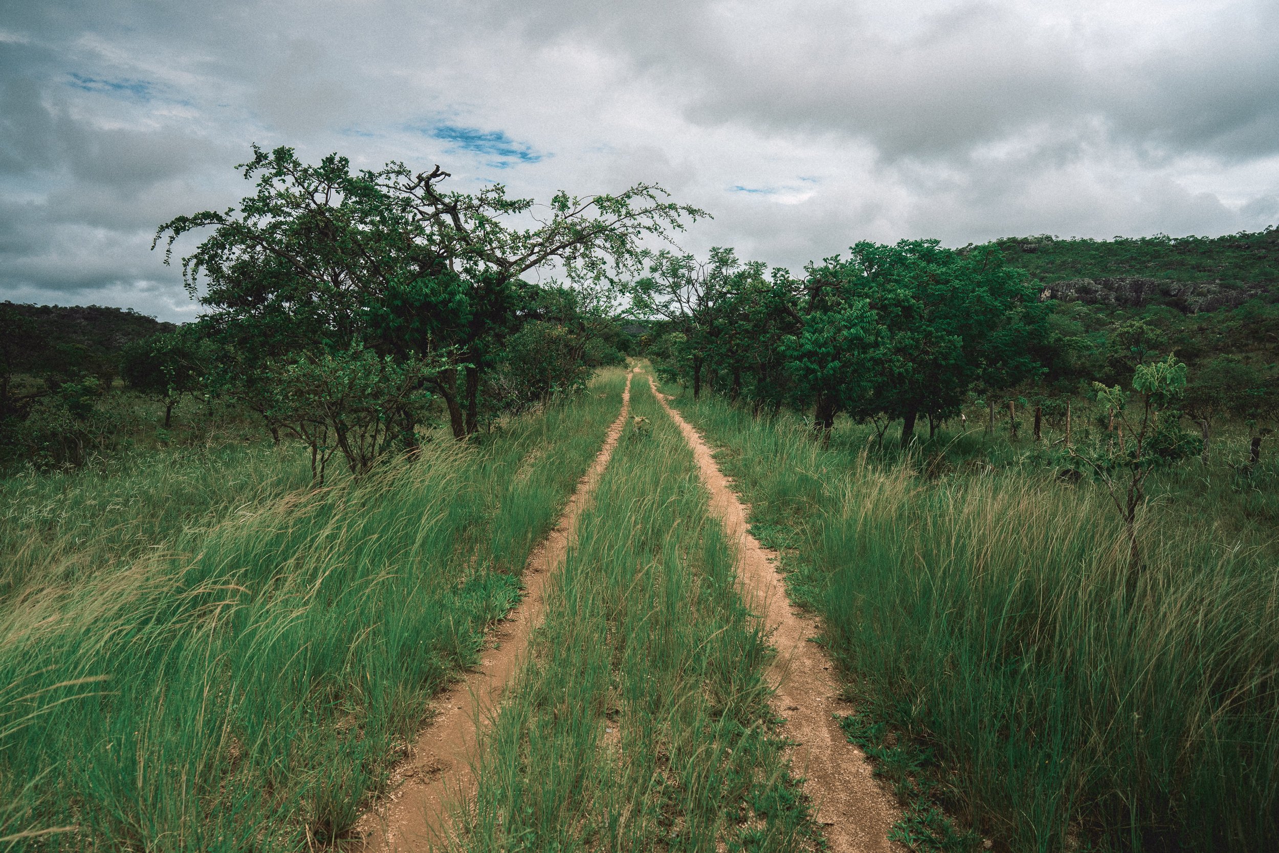
Linha Verde (January)
Highlight: The Green Line
For the better part of the 20th century, the Trilha Verde da Maria Fumaça (best translated as The Green Line, but literally, The Green Trail of the Smoking Maria) transported passengers & goods across the Espinhaço. When it was dismantled in 1973 (as part of a nationwide effort to eradicate railways—it’s a long story), it left thousands of residents isolated, spurring urban migration and leaving communities trapped in time.
In a strange twist of fate, the former railway may now provide a blueprint for the future of the region as its first (lone) official scenic bike & hike route. The Linha Verde descends gently for 157 km from Diamantina to the Sertão, passing through verdant scenery and bucolic agricultural & mining communities along the way, with a number of pit-stop worthy waterfalls. As much as we enjoy a good bushwhack in the mountains, we should be honest with ourselves: sometimes a few dozen kms of relatively* flat, open dirt trail is just what the doctor ordered.
Linha Verde (January)

Linha Verde (August)

Linha Verde (August)

Linha Verde (OctobeR)

Curimataí (September)
Highlight: Curimataí
Nestled tightly against the water-flowing (& water-falling) western edge of the Espinhaco, snuggled gracefully between deep & gentle river bends, unassuming Curimatai (pop. 1,500) is the kind of Place that calls little attention on the itinerary, but lingers on the mind endlessly afterward as a feeling of peace, warmth, and joy.
After the harsh conditions of Sempre Vivas, we’ll sop up all of the low-key goodness that we can get: soft pillows; friendly folks; full bellies (oh, the meals!); cold, flowing beverages; and top-notch people-watching from shaded front porches. Even as we saddle up & head south towards greener pastures (and hot springs!), we usually do so with heavy hearts: few places are harder to leave.
One thought that helps us get through the heartbreak: you can always come back.

Telésforo (April)
Highlight: Telésforo
Two things can be true at once: Telésforo is both a glaring example of the compounding effects of centuries of greed & mismanagement on the natural environment—first via mining, and in recent years, via mass (regional) tourism—and it is completely & utterly unmissable.
Perhaps more so than any other attraction in the Serra do Espinhaço, this perfect set of cascades—and the paradisical thousand-acre valley of pristine wetlands & powder white sand beaches that enshroud it—has the potential to become an icon of the majestic beauty & nature of the Cerrado.
Which is why, in our minds, it’s a bit painful to witness its current trajectory towards mass regional tourism hotspot. Towering concrete electric posts, crudely made facilities, crowded beachfront parking lots, and even litter are all part of the Telésforo package now—a once unthinkable notion for what is arguably the most glorious natural setting in a region with 19 conservation units; the most naturally gifted waterfall in a region bursting at the seam with them.
The silver lining—and there is one—of Telésforo’s plight is that the new carefree ambience has bestowed the Espinhaço with its own bonafide Brazilian beach scene, a cultural experience replete with the holy trinity of churrasco (barbecue), buteco (dive bar), and barulho (multiple competing automobile soundtracks).
At the end of the day, barring future pillage upriver, the falls should outlive the spectacle. In the here & now, we recommend getting your bikini & beach towel ready, and preparing to be awe-struck.
Telésforo (April)
Highlight: Overlanding & Horseback Riding
It sounds like faint praise, but few thoroughfares in the Espinhaço are better suited to driving or galloping—or more brutal for trekking—than the sun-kissed roads of the Sertão. Here, long distances of wide-open dirt road, lined with pastureland & riparian forests and backdropped by the cool blue tones of both the Espinhaço and the Serra do Cabral, occupy the vast spaces between sleepy agrarian backwaters & roaring, ice-cold waterfalls, creating near-perfect conditions for horseback riding and roadtrips.
In our minds, the trekking is great everywhere in the Espinhaço… but nowhere is it quite this perfect for taking it easy.

Conselheiro Mata (August)
River Crossing (September)
Quick Dip (October)
The Sertão: Hot Springs, WAterfalls & Swimming Holes
The Sertão is where much of the water in the Espinhaço comes to fall. Several of the most voluminous & majestic waterfalls in the region are found here, a number of which have yet to be discovered by visitors. Local water attractions aren’t limited to waterfalls, either—the Sertão has a number of scenic “hot” springs (although many Americans & Europeans will find the water “tepid”), as well as swimmable streams, hidden swimming holes, and pristine rivers.

Local Waterfall In April
Local Waterfall in August

Nica’s House (AUgust)
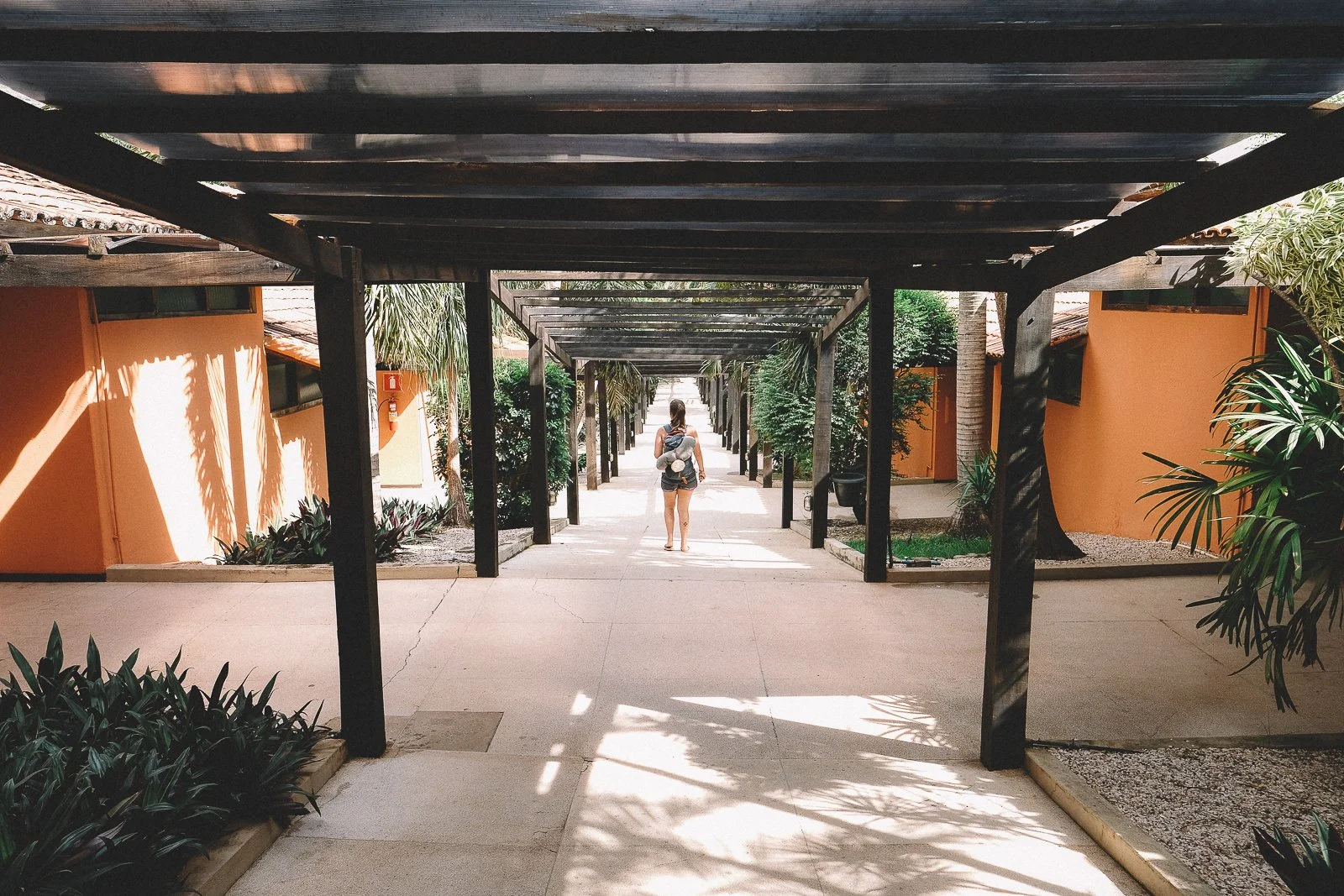
The Sertão: Where We Sleep
Some of our favorite accommodations in the Espinhaço are found in the Sertão, including a number of charming pousadas, unique homestays, hot springs resorts, campgrounds, and more.