The Garden
Lush veredas, windswept campos, cola-colored rivers, and a way of life that sits quietly at the edge of the plateau.
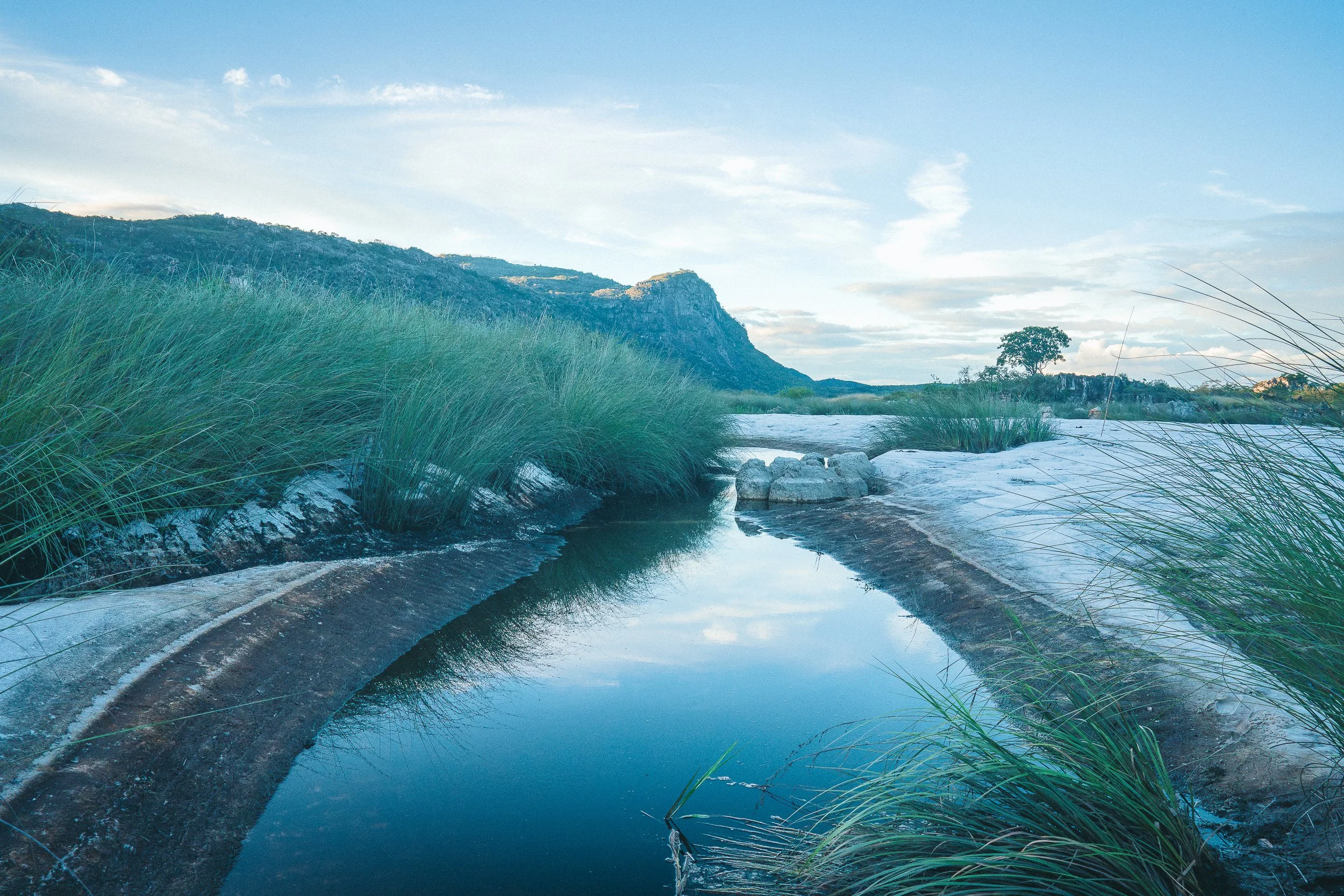
North of Diamantina, the Espinhaço begins to close in.
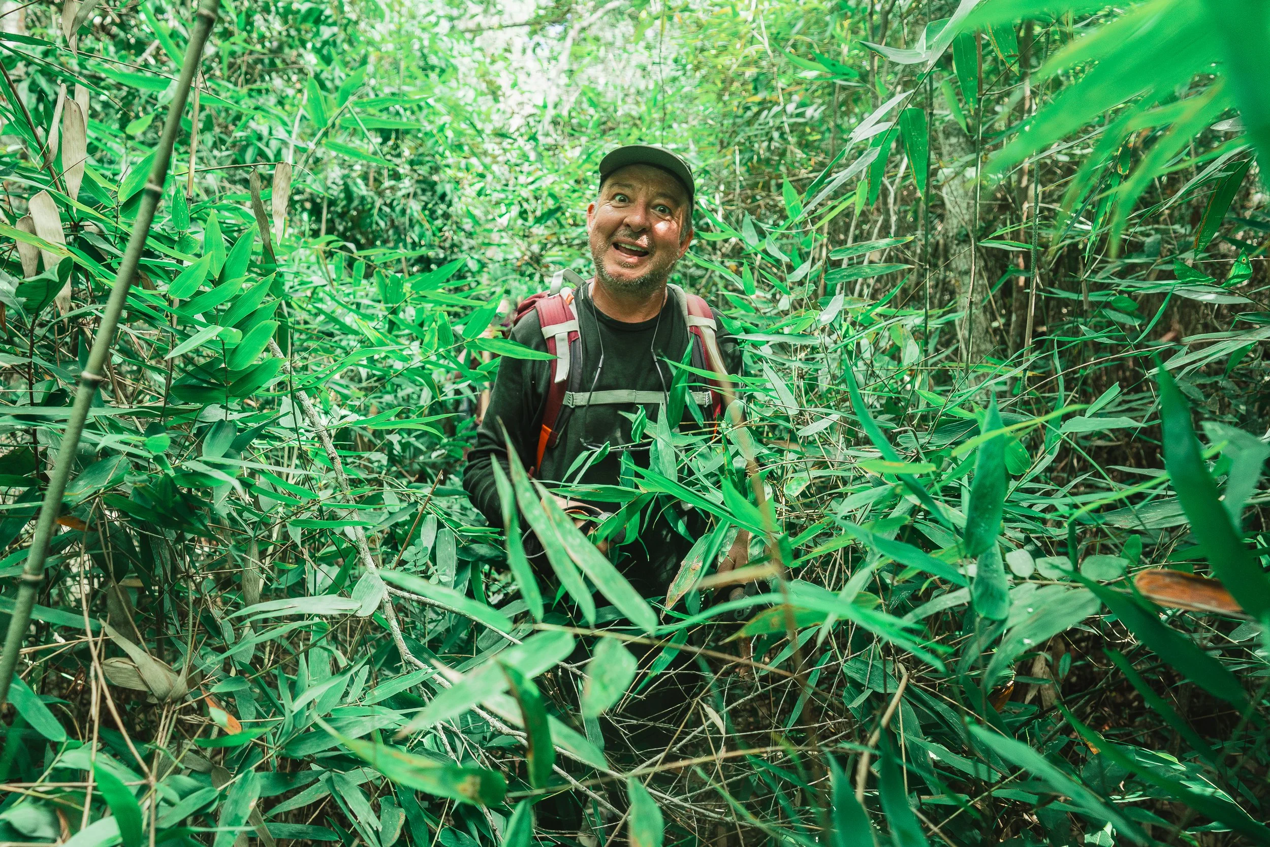
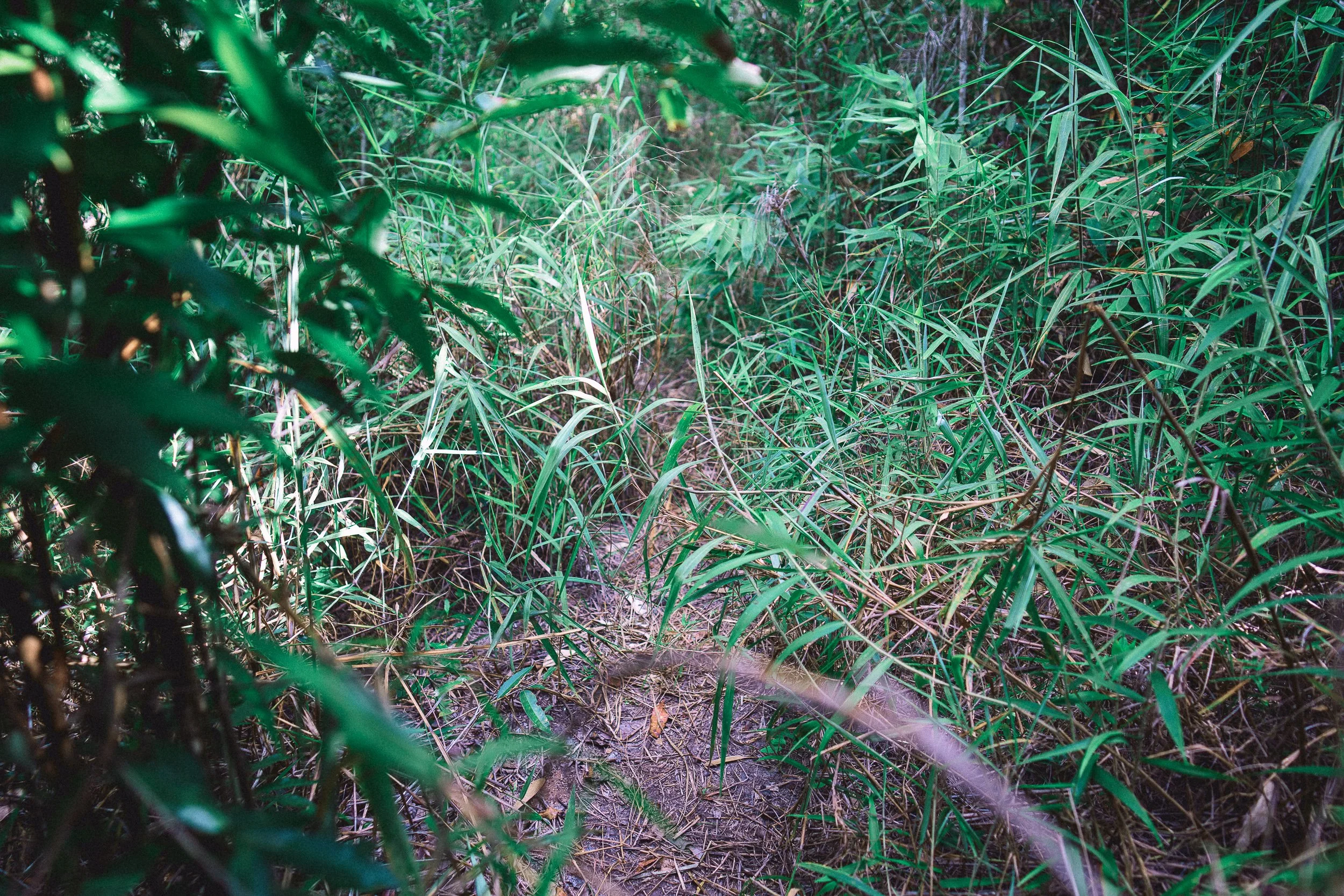
In some stretches, the views shorten, the cerrado thickens, and trails become overgrown, fading into tall grass, slipping into marshes, or disappearing into tunnels of taquara before reappearing atop flower-covered campos.
Elsewhere, the plateau opens, broad and exposed, with water just beneath the surface.
Movement—on foot, by saddle, road, or river—tends to be slow and deliberate in this part of the range. Direction comes less from what’s visible and more from what can be followed: a towering peroba tree, a weathered telegraph post, the sound of water ahead.
Even the smallest distances take time.
The Garden is our circuit through this part of the Espinhaço—a wide, high plateau centered around Sempre Vivas National Park and extending into the river valleys along its eastern edge. It’s a landscape of high savannah and saturation, where routes are built from map and memory, then worked out on the ground.
We tend to cross it in stages, as part of longer routes through the range. While time here is often brief, it changes the pace of everything that follows.

Sempre Vivas National Park. (November)
At a Glance
Our Garden circuit encompasses the northernmost plateau of the Espinhaço Meridional and the river valleys along its eastern edge. It includes Sempre Vivas National Park, the Jequitinhonha and Inhacica Grande river corridors, and the quilombola communities around them.
The Cerrado is at its most remote and least disturbed in this part of the range. Palm-laced veredas, dense riparian forests, flowery campos rupestres, and dry savannah woodlands give way to one another quickly—sometimes in the span of a single day. The ground shifts just as fast, from broad fields into wetlands, low escarpments, and long stretches of high fields where water defines the terrain.
The trails we follow exist, but change with the season. Many pre-date the Park, when ranchers, miners, and flower-pickers moved regularly across the plateau, and a telegraph line crossed toward Diamantina. A handful are still used sparingly by residents around the Park.
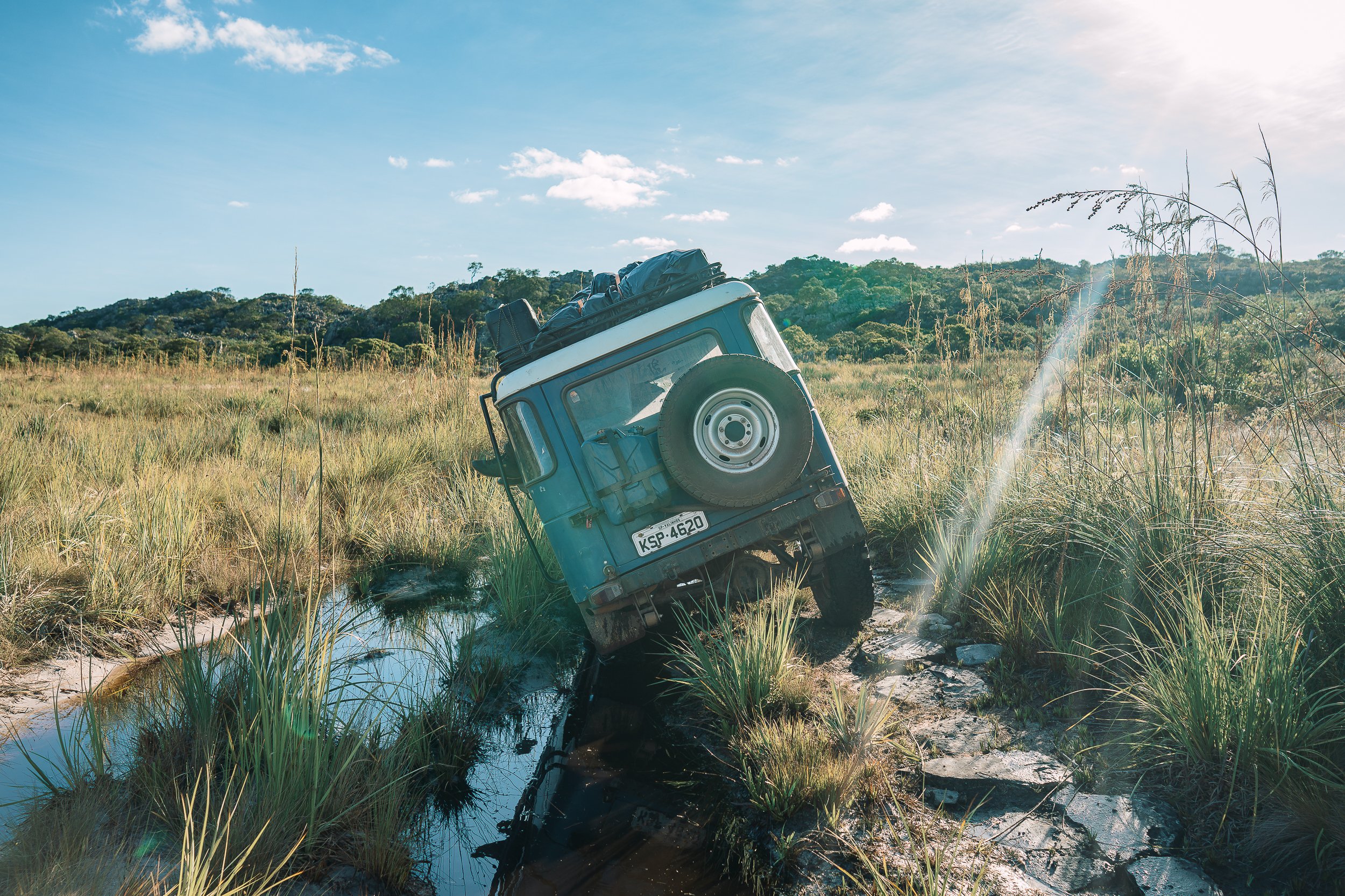
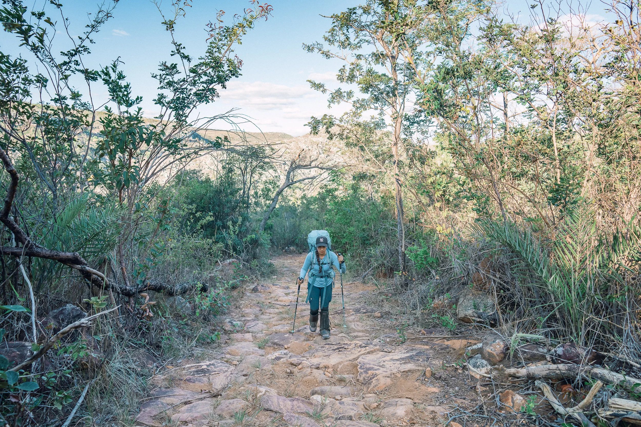
Roads here are few and far between, and at times barely passable. We walk, ride, or move along them in stretches, but they don’t fully connect one side of the plateau with the other.
Longer crossings of the circuit tend to be on foot, or some combination of trekking, saddle, 4×4, and river. Within Sempre Vivas, places to stay are sparse and irregular: rock shelters, abandoned structures, and occasional flower-picker shacks. We pitch tents where the ground allows—along sandy riverbanks, beneath rock overhangs, or in small clearings.
In the little-visited communities outside the Park, homestays, local eateries, and tree-lined praças offer places to rest, and time to spend with residents.
The Garden borders each of our other circuits, lending itself to longer routes across the range. Shorter trips, on foot or by 4×4, offer a way to experience parts of it without committing to a full crossing.
Movement here is rarely direct, and plans don’t always hold. The route stays in the landscape from beginning to end.
During longer crossings of the Espinhaço, it changes the pace.
And, at times, the direction.
Campsite (April)

Rock Shelter, Campos São Domingos (October)
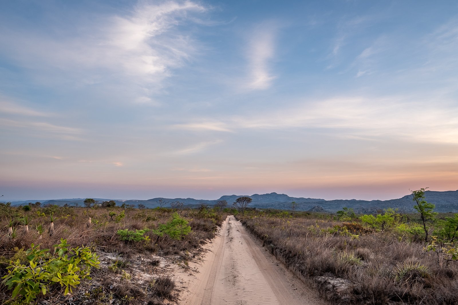
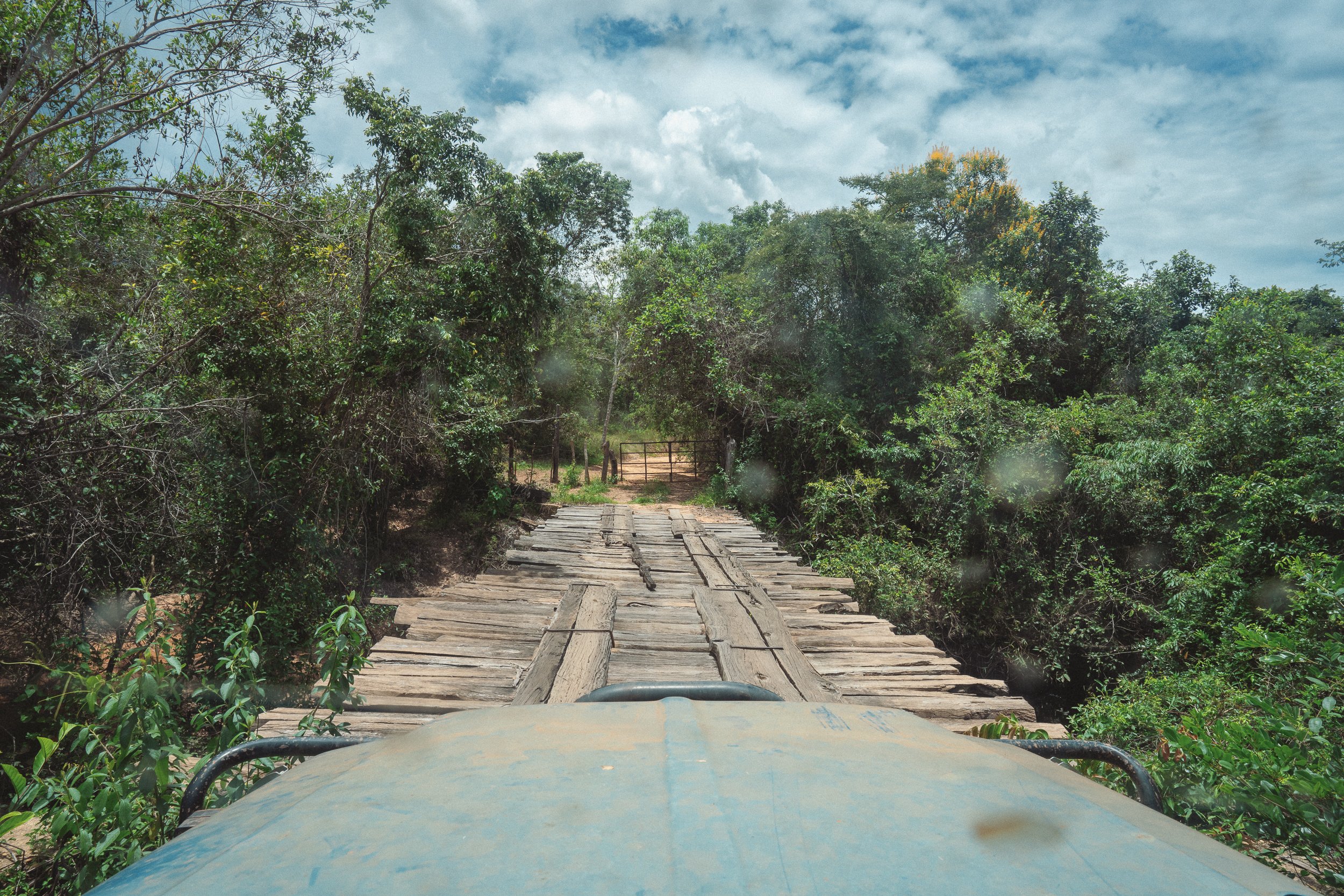
Road conditions, Sempre Vivas (April)
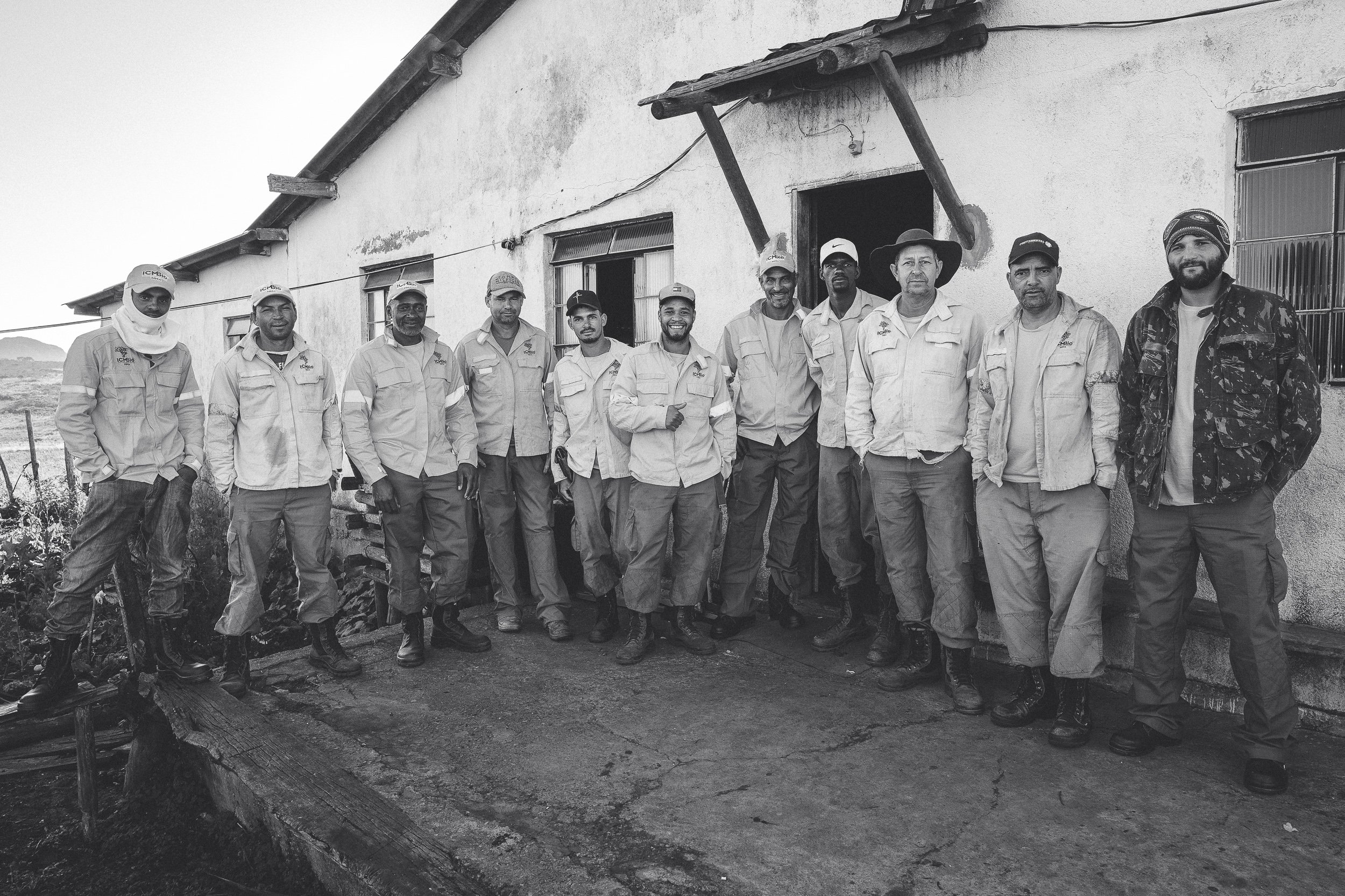
Os Brigadistas (July)
Contagem. Sempre Vivas (April)
Who This Circuit Is For
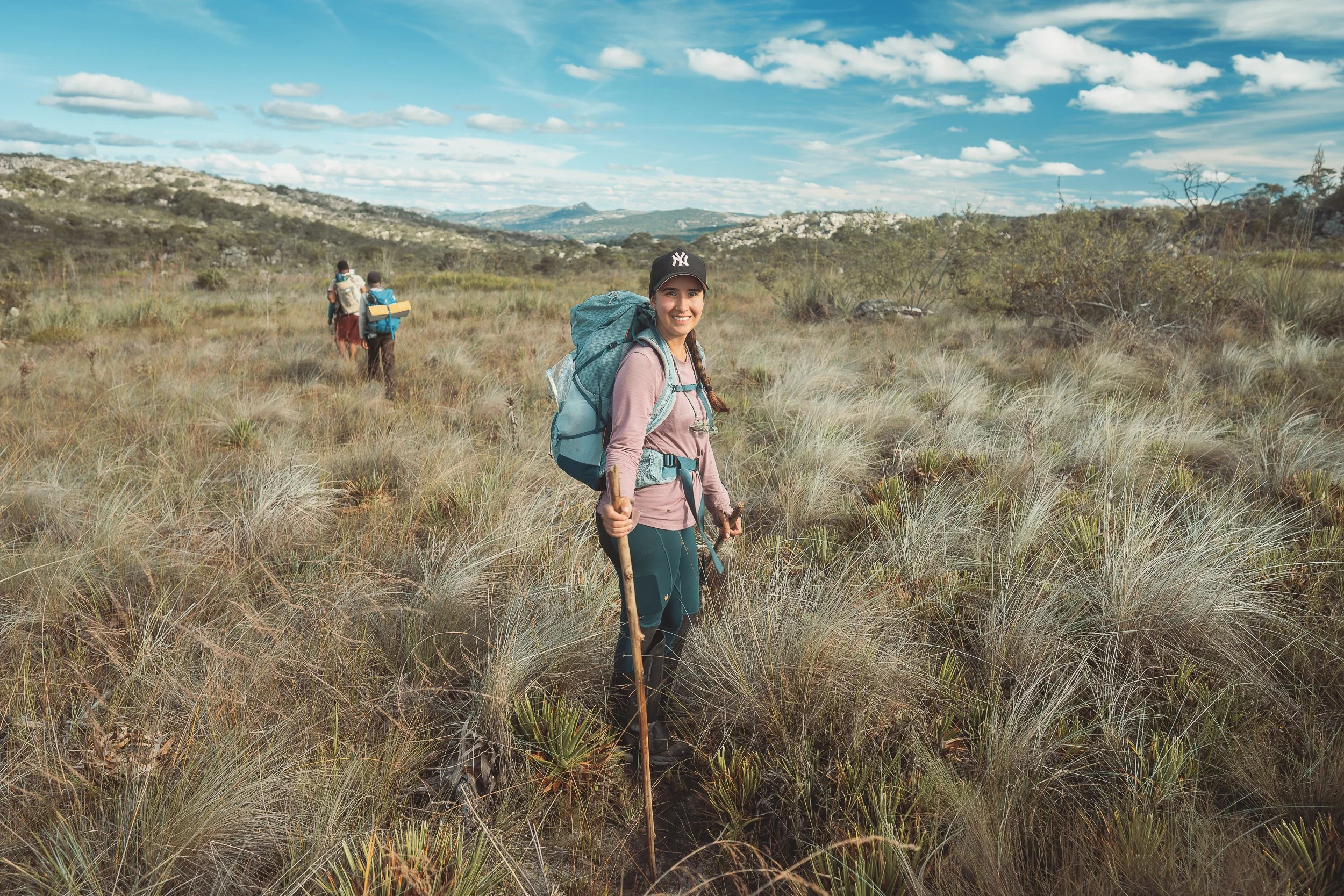
The Garden tends to suit travelers who are comfortable spending long days inside the landscape, moving through high savannah, wetlands, river corridors, and the small communities that sit within them.
Days don’t always unfold as planned here. Movement is shaped as much by water and ground as by route. Distances that look manageable on a map often take longer than expected, and progress depends as much on patience as on pace.
There is little infrastructure within the Park itself. Most nights are spent in the field, and adjustments—whether to route, timing, or conditions—are part of the experience.
For some, this is where the Espinhaço feels most intact. For others, it can feel uncertain or unfinished.
Travelers looking for clearer trails, more structure, or wider horizons tend to find it elsewhere in the range.
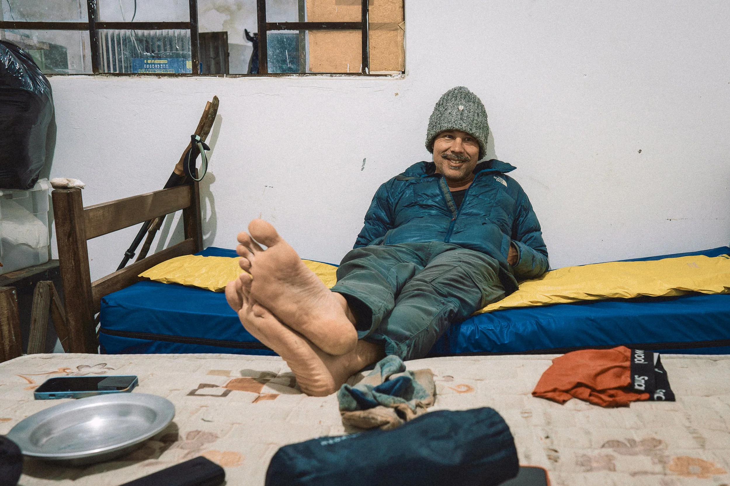
Guest room, Casa Kolping (July)
On the Trail (April)
On the trail, Taquaral (April)
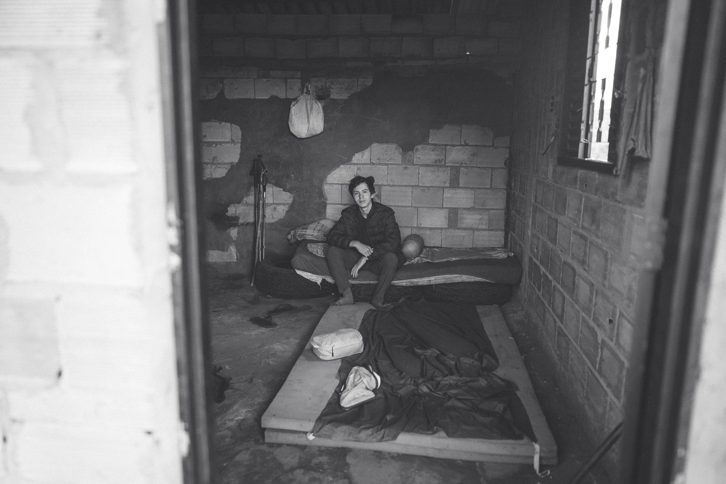
Breno’s house (July)
Fazenda Lamarão (July)
The High Savannah
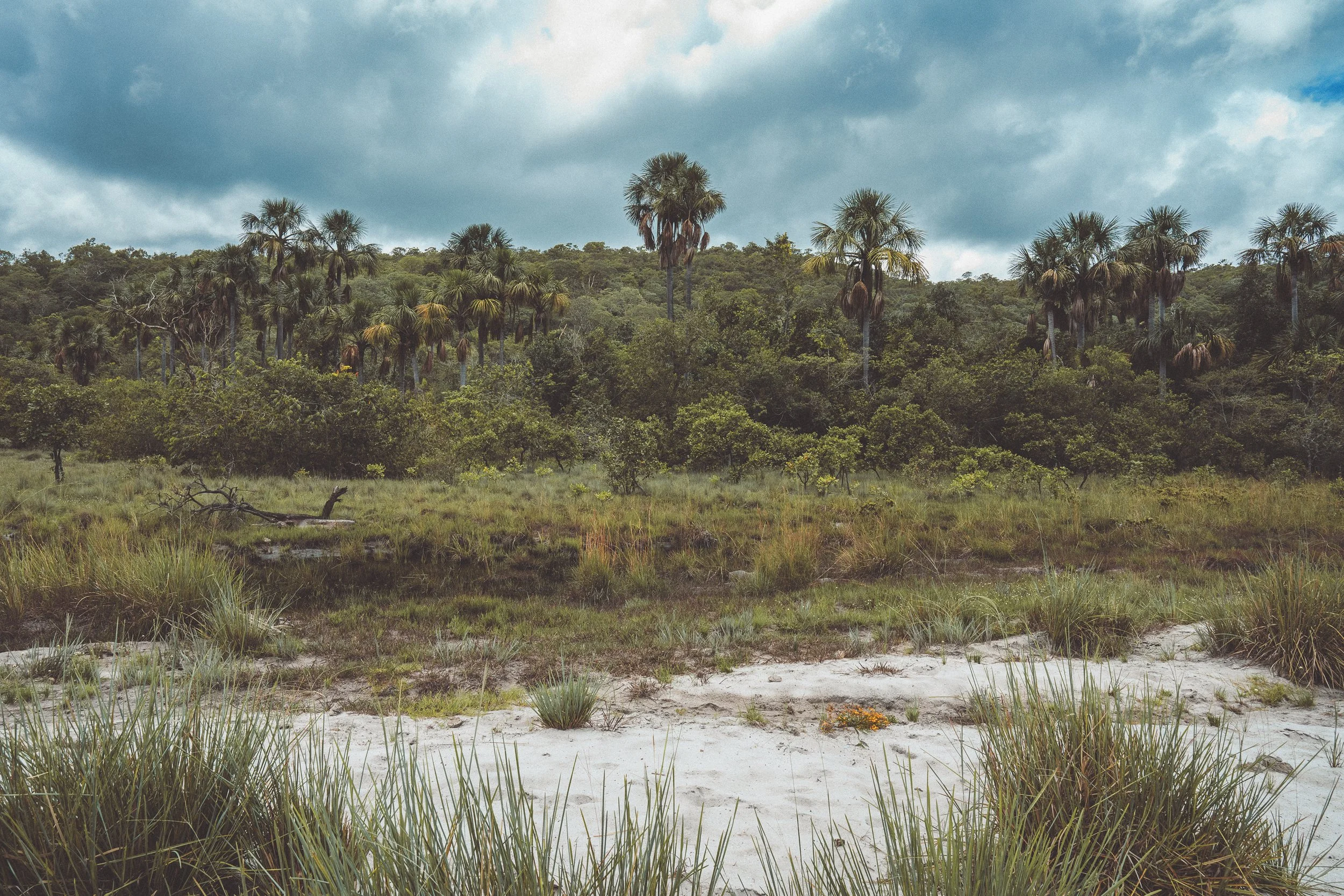
The Cerrado itself is the defining feature of this part of the range.
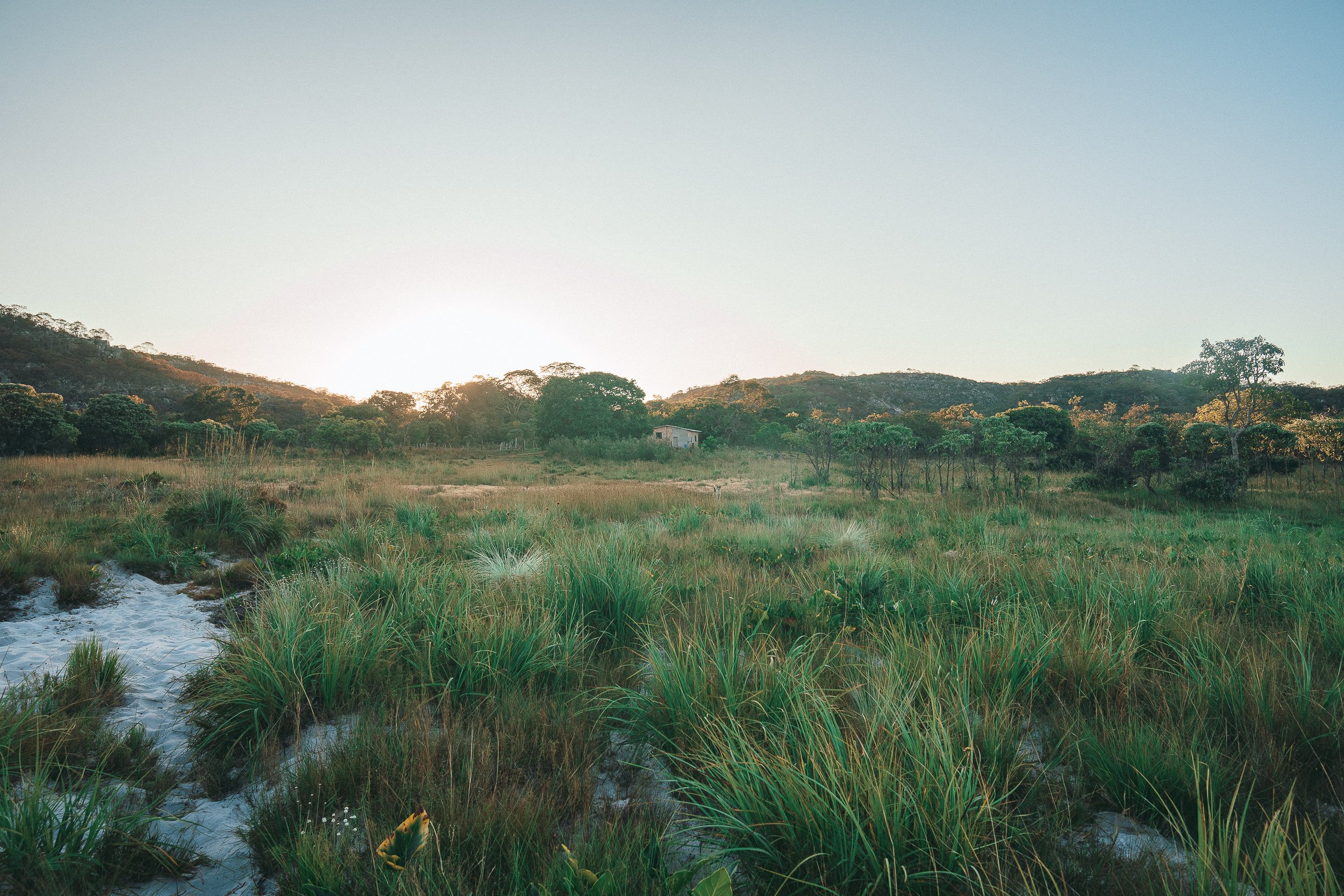
At the heart of the circuit lies Sempre Vivas National Park—a thousand-square-kilometer expanse of undisturbed high savannah set across a plateau that divides the São Francisco and Jequitinhonha basins. Across the Park, water and vegetation shape the ground as much as elevation.
At its eastern edge, along the Inhacica and Jequitinhonha corridors, dense riparian forests and buriti-lined veredas shape the ground, with flowing water and saturated soil setting the conditions for everything that follows.
Moving west, the land rises gradually into Taquaral, where the vegetation thickens and the forest closes in. Water runs constantly through this part of the plateau, and movement slows as trails pass through thick growth and uneven ground. This part of the plateau saw little use during the mining and ranching periods, and today remains one of the least disturbed parts of the circuit. Signs of animal movement are common here—tracks pressed clearly into pale quartzite sand, crossing paths used more by wildlife than by those passing through.
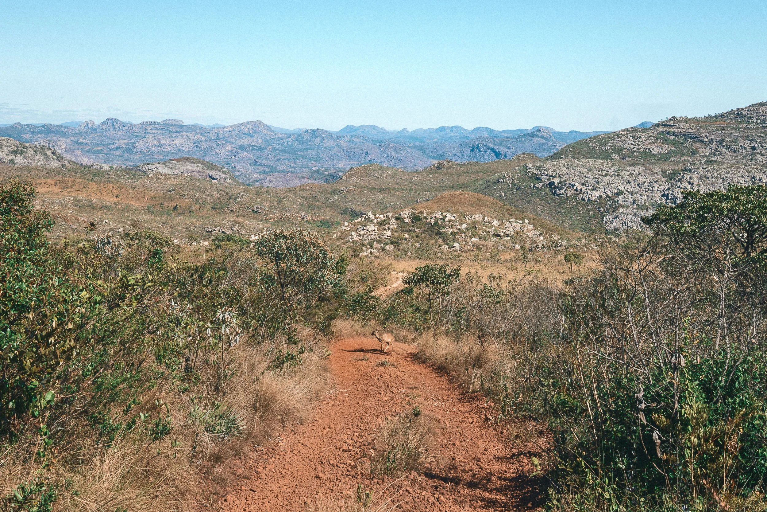
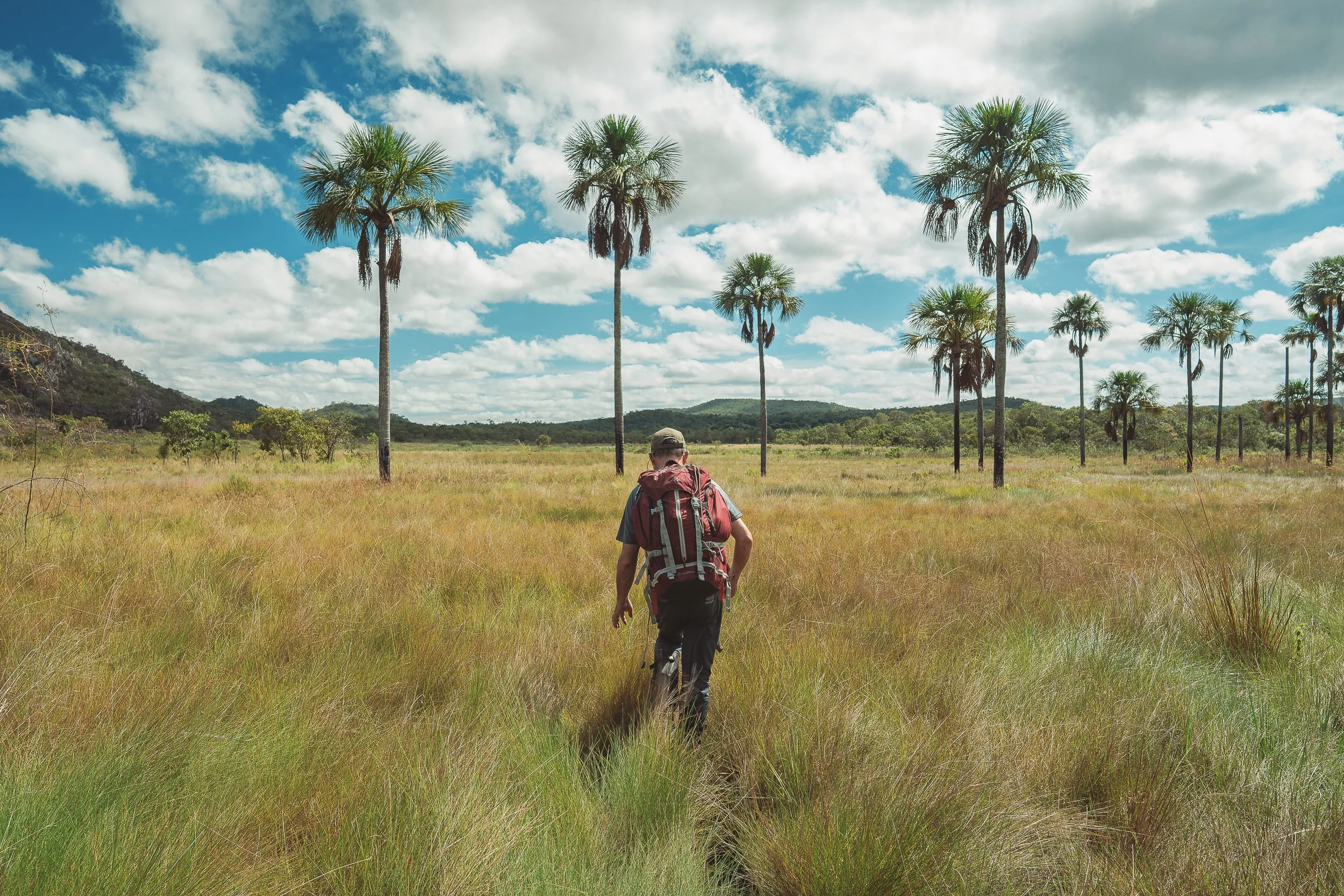
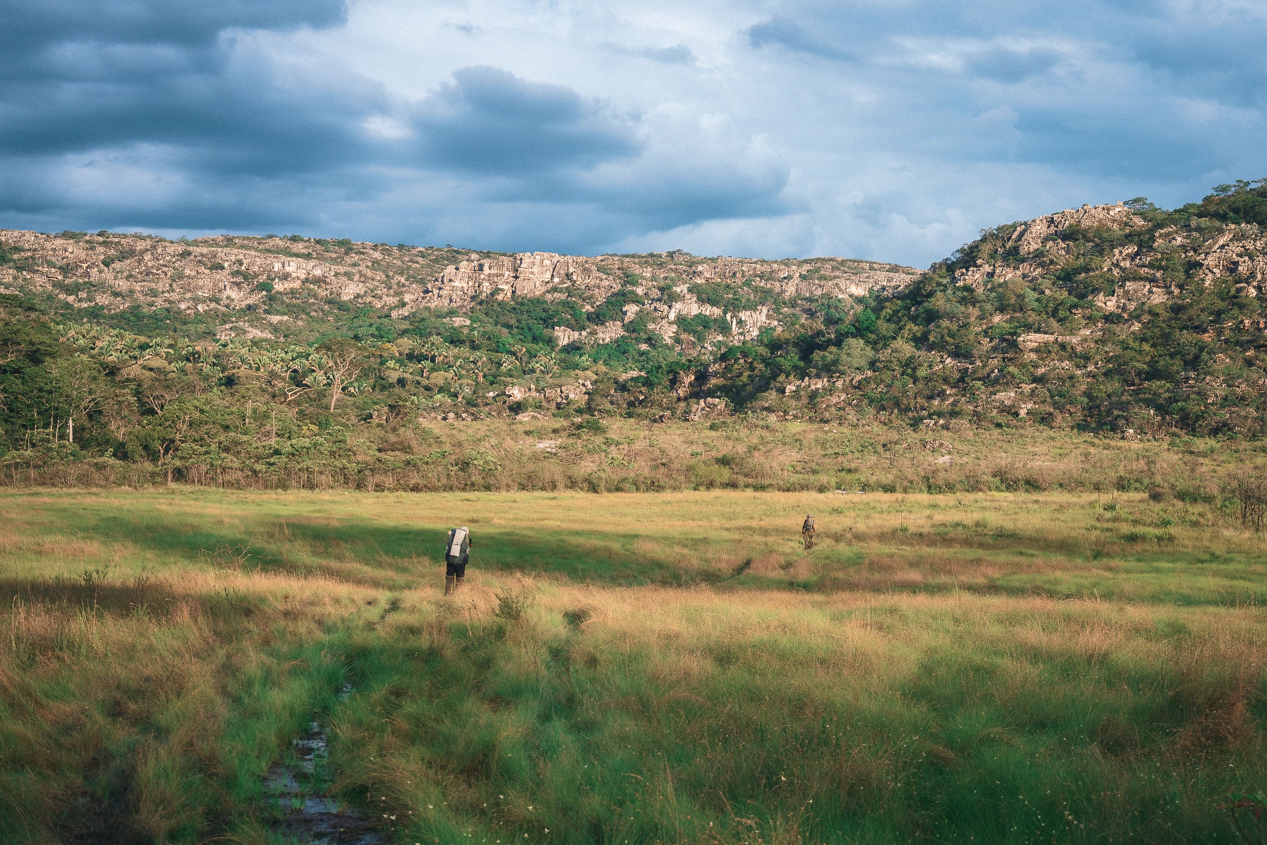
Beyond Taquaral, the plateau opens into the panoramic high fields that the Park is famous for. Vast stretches of flower-covered campos extend outward, broken by jagged peaks and capões de mata—small, dense islands of vegetation that gather around springs and water courses. Within them, plant life becomes more varied, often in ways that don’t appear elsewhere across the plateau.
Further west, the Cerrado begins to thicken again. Small, unoccupied ranches appear here and there—simple, weathered structures amidst vast fields—and older paths cut across the landscape, but the ground remains shaped by water and season, shifting between firm and saturated, sand and stone, open and enclosed.
Across the plateau, the landscape holds together as a single, continuous system, with little sign of interruption. Few places in the Espinhaço feel this remote, or this alive.
Flower-picker shack, Sempre Vivas (July)

Chuverinho (Paepalanthus), April

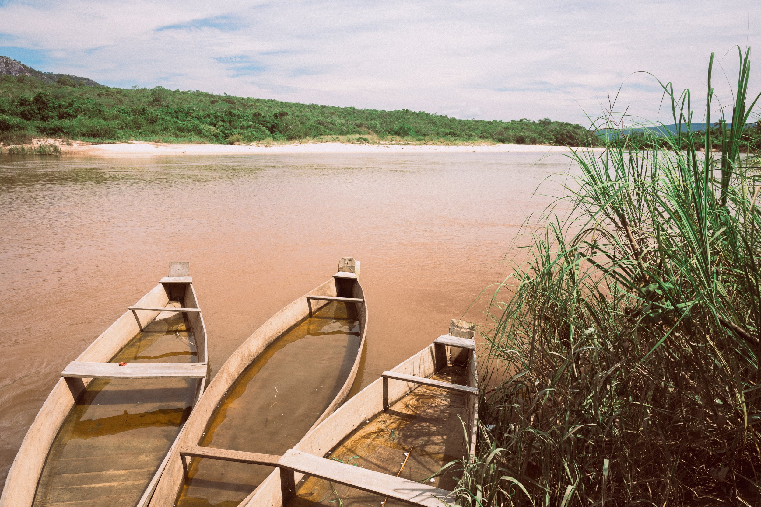
Canoeing on the Inhacicão, Sempre Vivas
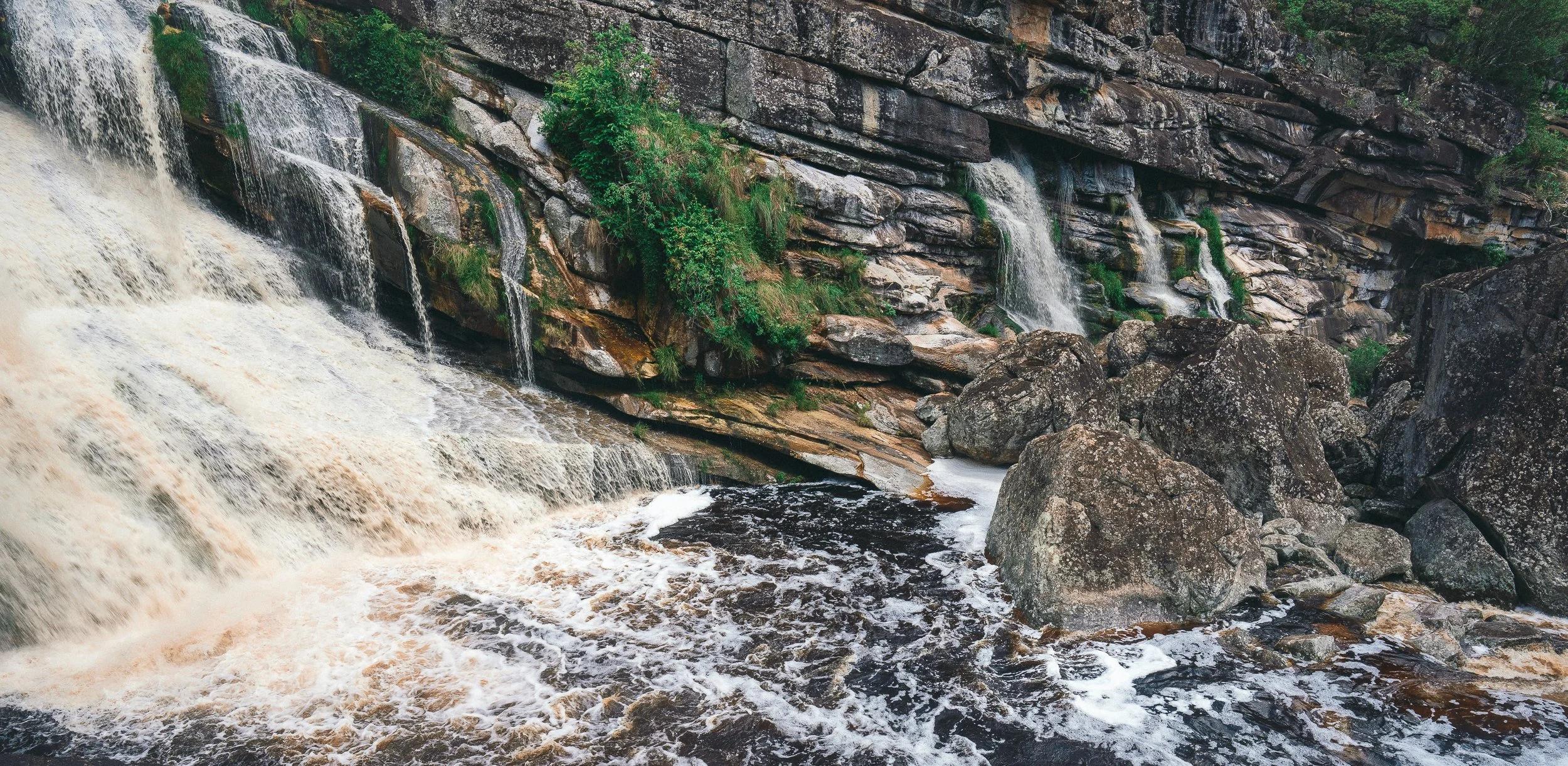
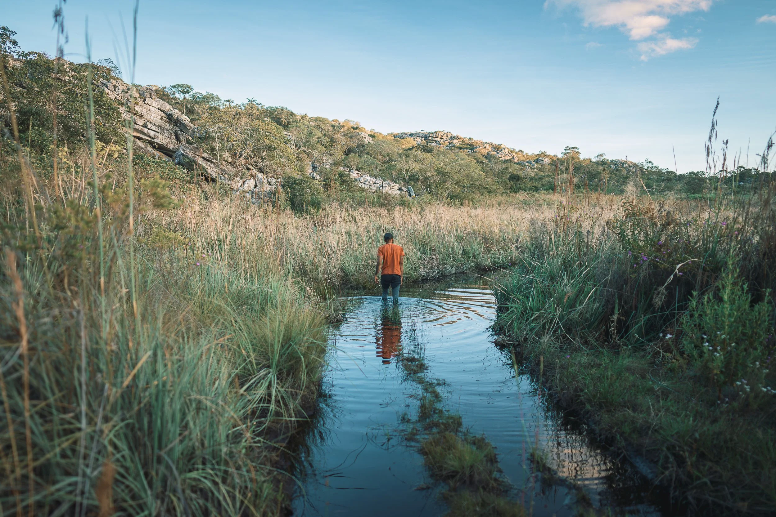
Water, Everywhere
Water defines this part of the Espinhaço.
It shapes the landscape, the Park boundaries, the headwaters of the São Francisco and Jequitinhonha river basins, and life along their banks.
Its presence is constant, even when it isn’t visible. It appears as marsh and standing water in the campos, as creeks and tributaries in the forests, and as deeper, slower-moving rivers along the edges of the plateau.
Routes bend, drop, and climb around wetlands, toward watercourses, or onto higher ground. At times, a river becomes the way forward—something to cross, or to follow by boat or canoe.
Waterfalls are scattered throughout the circuit, little known even by residents. Most go unvisited. When they do appear, they tend to come quietly, after long stretches of ground, where water, shade, and stillness all become part of the experience.

Dawn on the Inhacicão (April)

Canoeing on the Inhacicào (March)
Confluence (January)
Road conditions, Sempre Vivas (April)

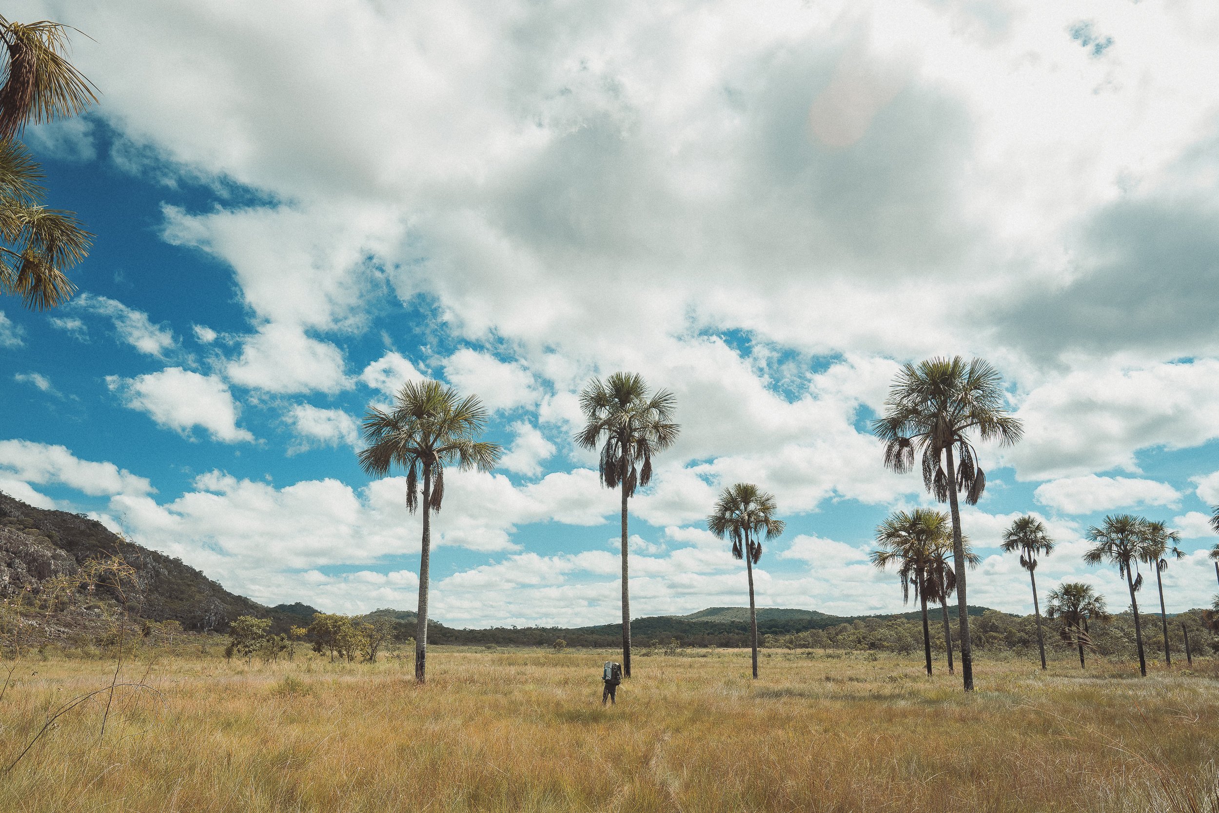
Taquaral (November)
Lost Trails
Long before it was a Park, people moved across the plateau.
Paths formed between river valleys and high fields, linking communities on all sides of the range. The trails were used by those who lived here and those passing through—first by Indigenous peoples in pursuit of large fauna, then by cattle-drivers bound for Diamantina, and later by miners, ranchers, tropeiros, and flower-pickers.
In the 20th century, a telegraph line was built from Bocaiuva in the north to Diamantina. Traces of the line remain: weathered posts, faint clearings, and short stretches where it still runs faintly across the ground.
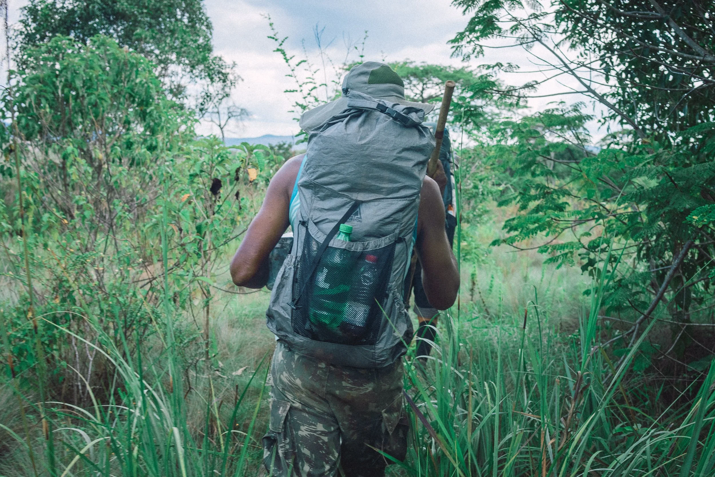
Some of these routes still exist on the ground. Others remain only in memory or fragments, picked up where the ground allows, then lost again in grass, rock, or wet ground.
Since the creation of Sempre Vivas in 2002, many trails have fallen out of regular use. What was once a connected system of movement is now intermittent.
Time on the trail often means stepping into ground that hasn’t been recently traveled, finding and feeling the path as it goes. At times, it carries the sense of being the first to pass through.
Trail Through Contagem (April)
CAmpos João Alves (March)
Trail Near Fazenda Gavião (July)
Estrada Real (July)
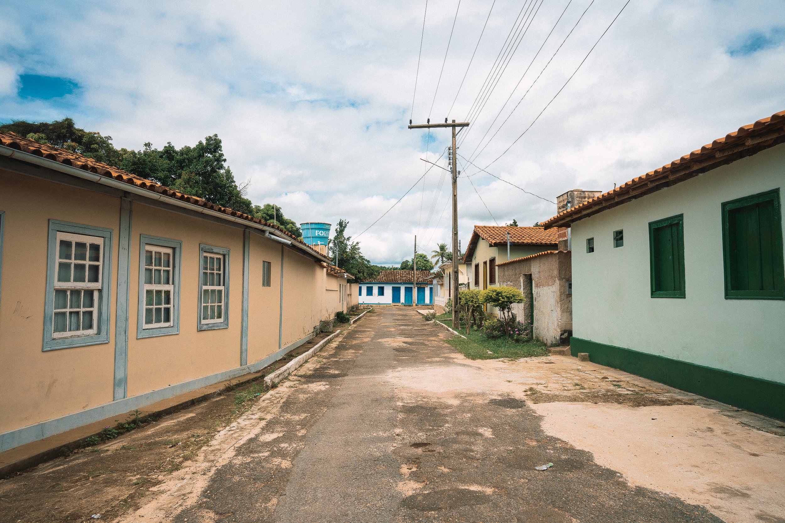
Street Scene, Inhaí (July)
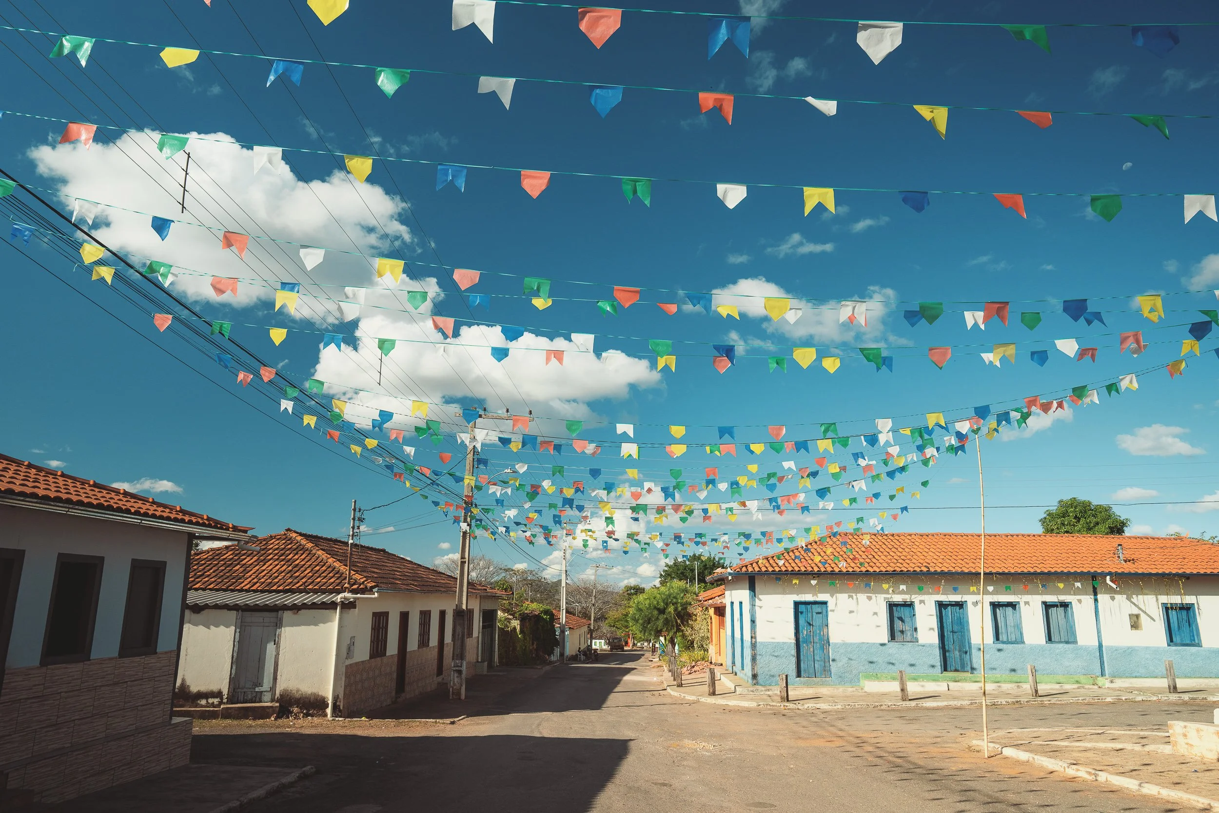
River Communities
Undisturbed high savannah draws most travelers into this part of the range, but the Garden is as much defined by the people who live here.
A handful of quiet quilombola villages sit along the eastern edge of the Park, where the Inhacica, Jequitinhonha, and Caeté-Mirim rivers continue to shape daily life. Far removed from tourism, these communities are places where time is spent simply, and where movement through the landscape has always been a part of life.
The largest of the communities, Inhaí, dates back to the earliest days of the diamond boom, when Diamantina was still a hamlet and trails in the region ran north instead of south. Enclosed by tall forest and set between rivers, it remains the most isolated of the city’s eleven districts, more closely tied to the landscape around it than to the city itself.
Further upstream along the Jequitinhonha, ranches and small villages line the riverbanks. Livestock gathers under buriti palms, and simple homes sit along the water, separated by distance and terrain. Here, even Inhaí feels far away.
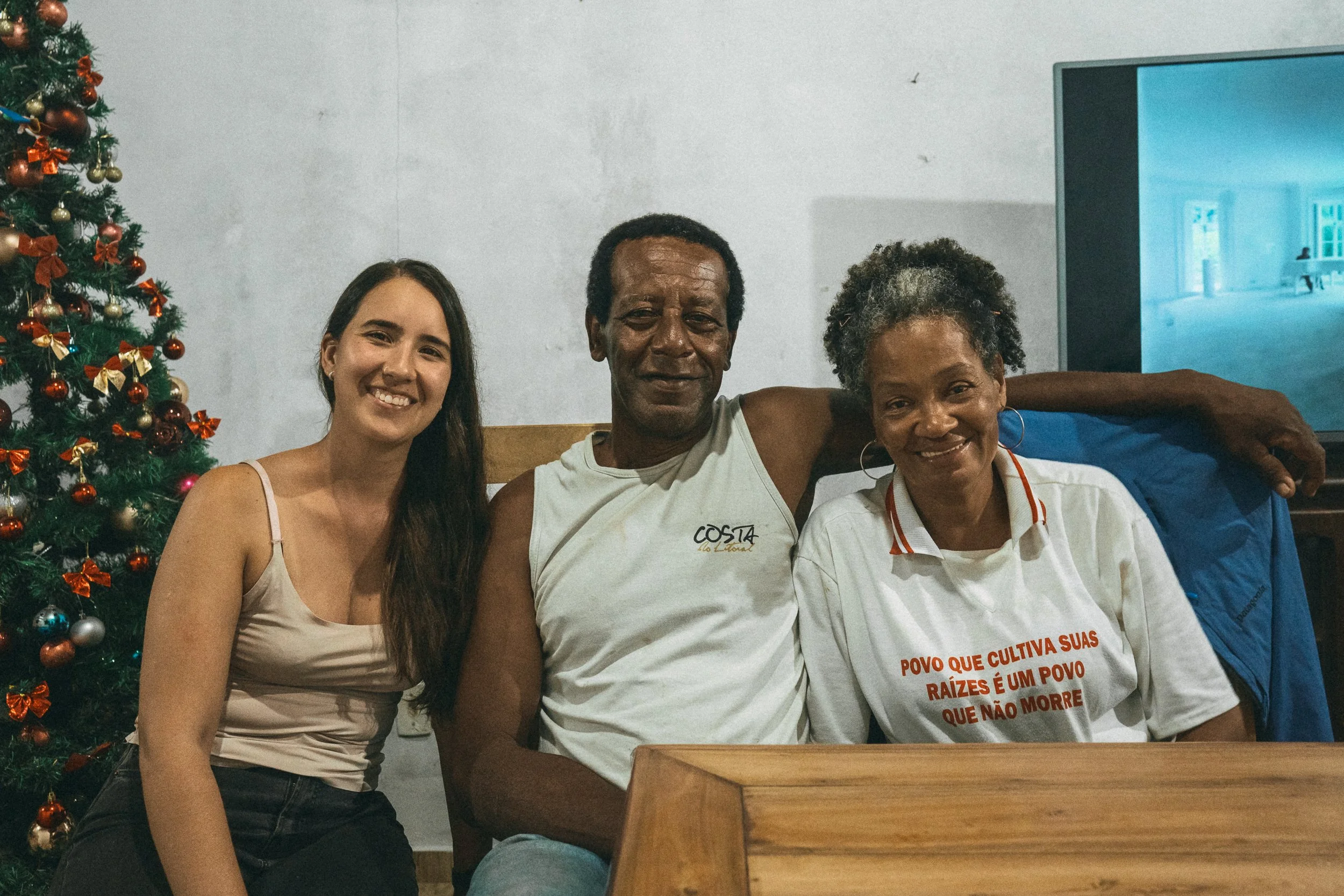
Arrival in this part of the Espinhaço rarely happens by accident. These communities sit far from the asphalt, at the edges of the plateau, with slow daily rhythms that ask something in return.
For those of us crossing the range, they aren’t stops along the way, but part of the experience itself—places where we are welcomed, received, and folded, briefly, into life along the waterway.
BArbosa & Lúcia’s house
Street Scene, Inhaí (April)
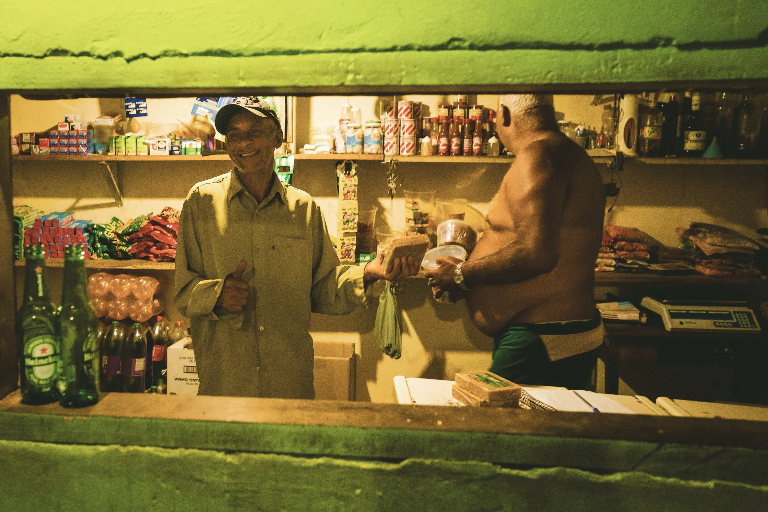
Bar do Pretinho (January)

River-Bound (April)
The Road (November)
A Place to Cross
The Garden is large enough to stand alone during wilderness expeditions and field work focused on high savannah ecology, but in our experience it’s a circuit best crossed in stages. Its proximity to our other circuits makes it a natural link between contrasting parts of the Espinhaço.
There are only a handful of roads in the Park, none of which cross the plateau in full. We cross it on foot or by saddle, using boats or canoes where needed. Routes usually begin along the edges—in Inhaí, Curimataí, Macacos, or elsewhere along the rivers—and move inward across Sempre Vivas before finding their way out in a different part of the range.
By vehicle, the route tends to circle the plateau, with time on foot connecting the interior.
Most crossings here don’t follow a single continuous trail, but rather “ways through” that rely on memory, familiarity, and seasonal realities.
This part of the Espinhaço has always taken time to cross.
It sets the pace for what follows.

Road to Taquaral, November
The Old Telegraph Trail, March
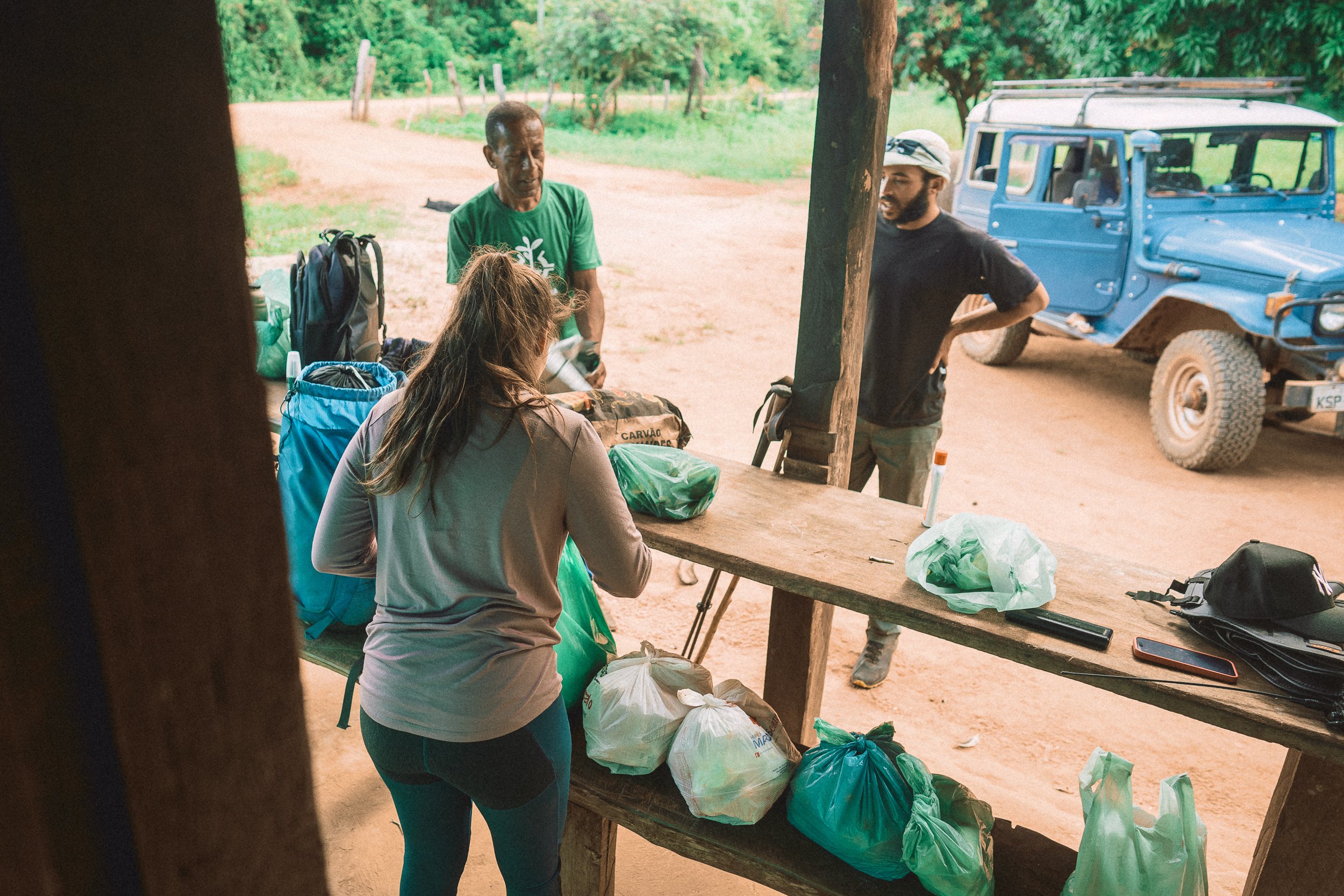
Prepping Supplies, April
Eastern Entrance, January