Where We Go
The Secret Serra
Introducing Brazil’s Serra do Espinhaço
When we set out to build Gift of Go, we wanted to share the story of Brazil—the deeper, less-exported version we fell in love with, about gracious people and bucolic backroads, Atlantic Forest and high savannah, colonialism and slavery, rural and urban ways of life, and strikingly varied socioeconomic realities.
The highlands around Diamantina, in Minas Gerais, gave us everything we needed and more.
Once the epicenter of the global diamond trade, the Serra do Espinhaço was largely abandoned and forgotten by the outside world for nearly two centuries. Today it’s on the edge of wider recognition as one of the most unique mountain ranges on earth.


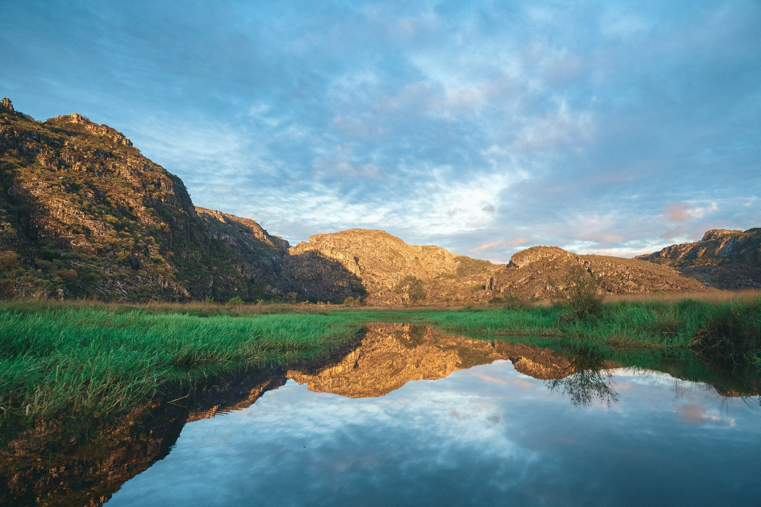

View from Fazenda Lamarão. Sempre Vivas National Park
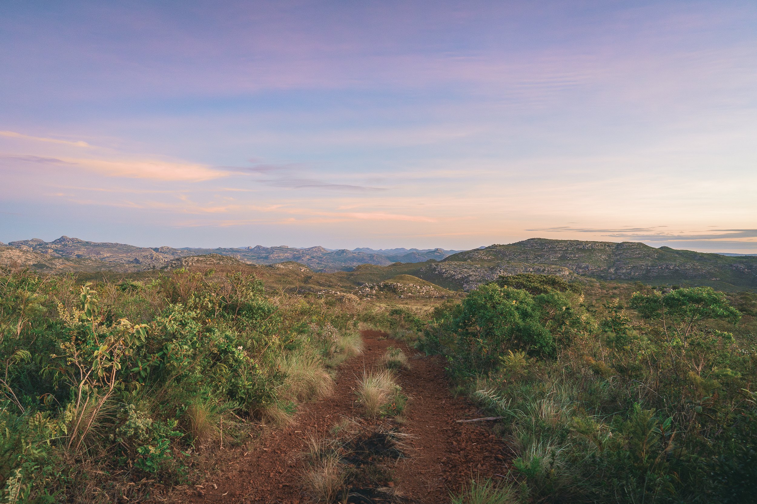
The Secret Serra
A brief introduction to the range we call home.
Stretching nearly 1,200 km from the Quadrilátero Ferrífero in Minas Gerais to Chapada Diamantina in Bahia, the Serra do Espinhaço (literally, the Spiny Mountains) is often described as Brazil’s only true cordillera.
Within that spine, centered around the colonial city of Diamantina, is the region we call home: the Espinhaço Mosaic (Mosaico do Espinhaço, also known as the Alto Jequitinhonha–Serra do Cabral Mosaic), a nearly 2 million-hectare (~5 million-acre) expanse of protected areas and buffer zones that includes 19 adjacent conservation units, 14 municipalities, and hundreds of small rural communities, many of which maintain traditional ways of life.
Geographically, the Mosaic sits at a set of remarkable confluences: an ecotone between two major biodiversity hotspots (the Cerrado, or Brazilian savannah, and the Atlantic Forest); the watershed for three of Brazil’s most important rivers (the Jequitinhonha, São Francisco, and Doce); and a transition zone between the country’s southeastern and northeastern cultural lines.
Historically and ecologically, few places in Brazil carry as much weight: the epicenter of the world’s diamond trade, and much of Brazil’s slave trade with Africa, for nearly 200 years; home to one of the country’s most biodiverse and threatened ecosystems, the campos rupestres, which harbor almost 15% of Brazil’s plant species in less than 1% of its territory; one of Brazil’s least-visited national parks (Sempre Vivas, with only a few dozen registered visitors each year); and the birthplace of one of the country’s most vital waterways, the Jequitinhonha.
On the international stage, this corner of the range has slowly begun to garner recognition for its unusual mix of nature and culture: a UNESCO Biosphere Reserve (Serra do Espinhaço – Minas Gerais), a UNESCO World Heritage city (Historic Centre of Diamantina), a UNESCO Intangible Cultural Heritage (traditional ways of making artisanal Minas cheese), and an FAO (UN) Globally Important Agricultural Heritage System (Sempre-Vivas traditional agriculture).
On the ground, though, the Espinhaço remains largely anonymous. Even in Diamantina and the surrounding towns, few residents have ever heard the word “Mosaic,” let alone visited its parks. Sempre Vivas (its largest conservation unit) has had a formal management plan for decades, yet receives just a few dozen registered visitors each year.
We didn’t know any of this when we first followed a trail into the range in 2018. We just knew it felt special.
In a country with countless ways to tell its story, few settings are as rich or as revealing as the Espinhaço.
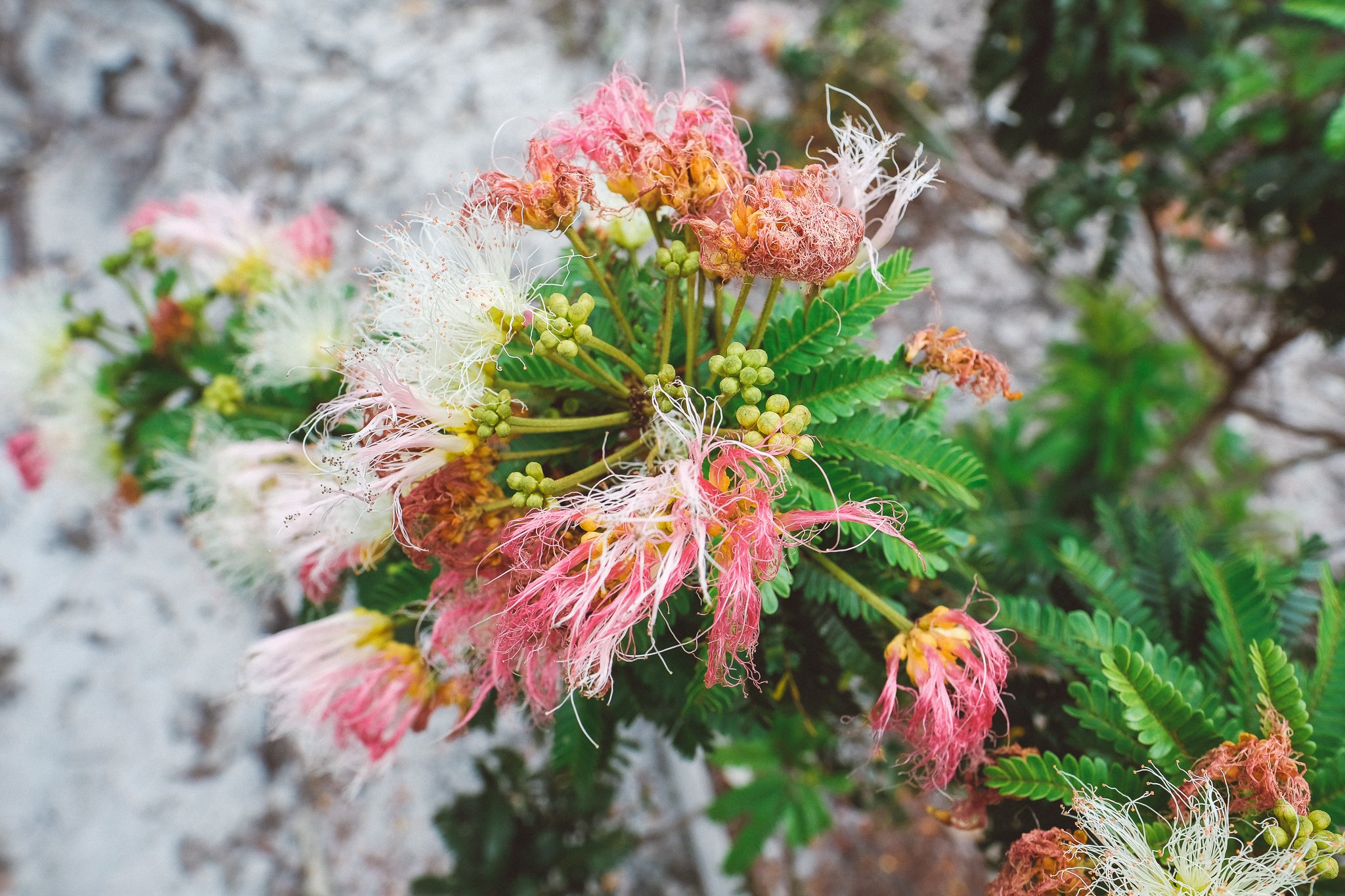
WildflowerS in October
The Garden
More life than land. More urgency than time.
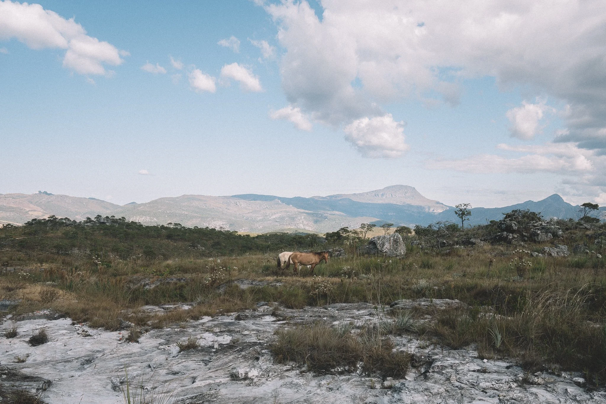
The Espinhaço accounts for less than one percent of Brazil’s territory, yet harbors over seven percent of its species—with more than three thousand found nowhere else.
The ecosystem behind that concentration is the Campos Rupestres: a rocky, flower-strewn expression of the Cerrado so distinct it may eventually be recognized as Brazil’s newest biome.
The range also cradles the westernmost remnants of the Atlantic Forest, making it one of the few places where two critically endangered biomes meet.
It’s a landscape as fragile as it is rugged. Much of the range sits atop quartzite and ironstone, coveted by the mining industry and slow to recover from disturbance.
It’s a privilege to experience it, as it is right now.
Vereda. Contagem
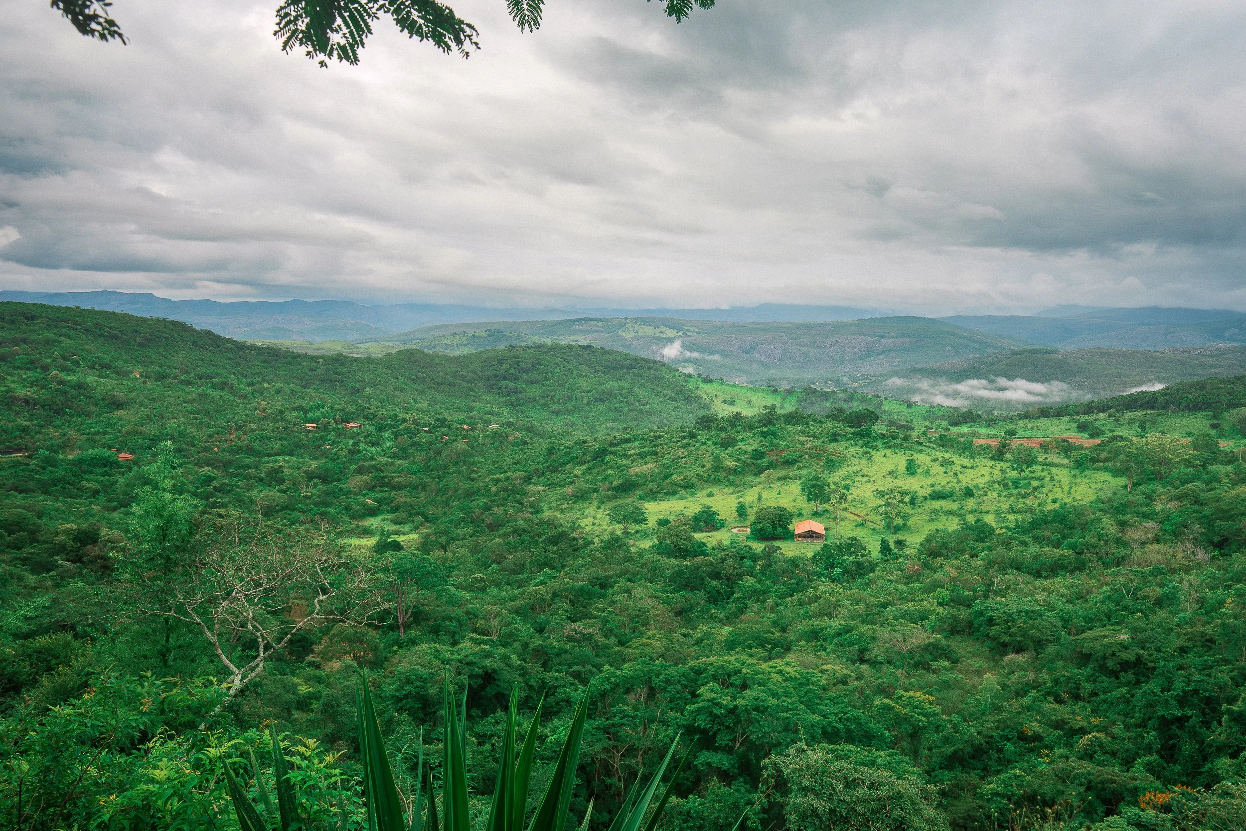
The Mosaic
A vast protected landscape, and the stage for everything to come
The Serra do Espinhaço Meridional harbors a vast patchwork of protected land: nineteen conservation units and buffer zones spanning nearly five million acres of Cerrado and Atlantic Forest.
Collectively they form the Mosaic of the Espinhaço, home to one of the highest concentrations of plant endemism on Earth and one of Brazil’s least-visited protected landscapes.
For travelers drawn to untouched wilderness, unfiltered culture, and the rare pleasure of moving through a place without tourism infrastructure, this is where the story begins.
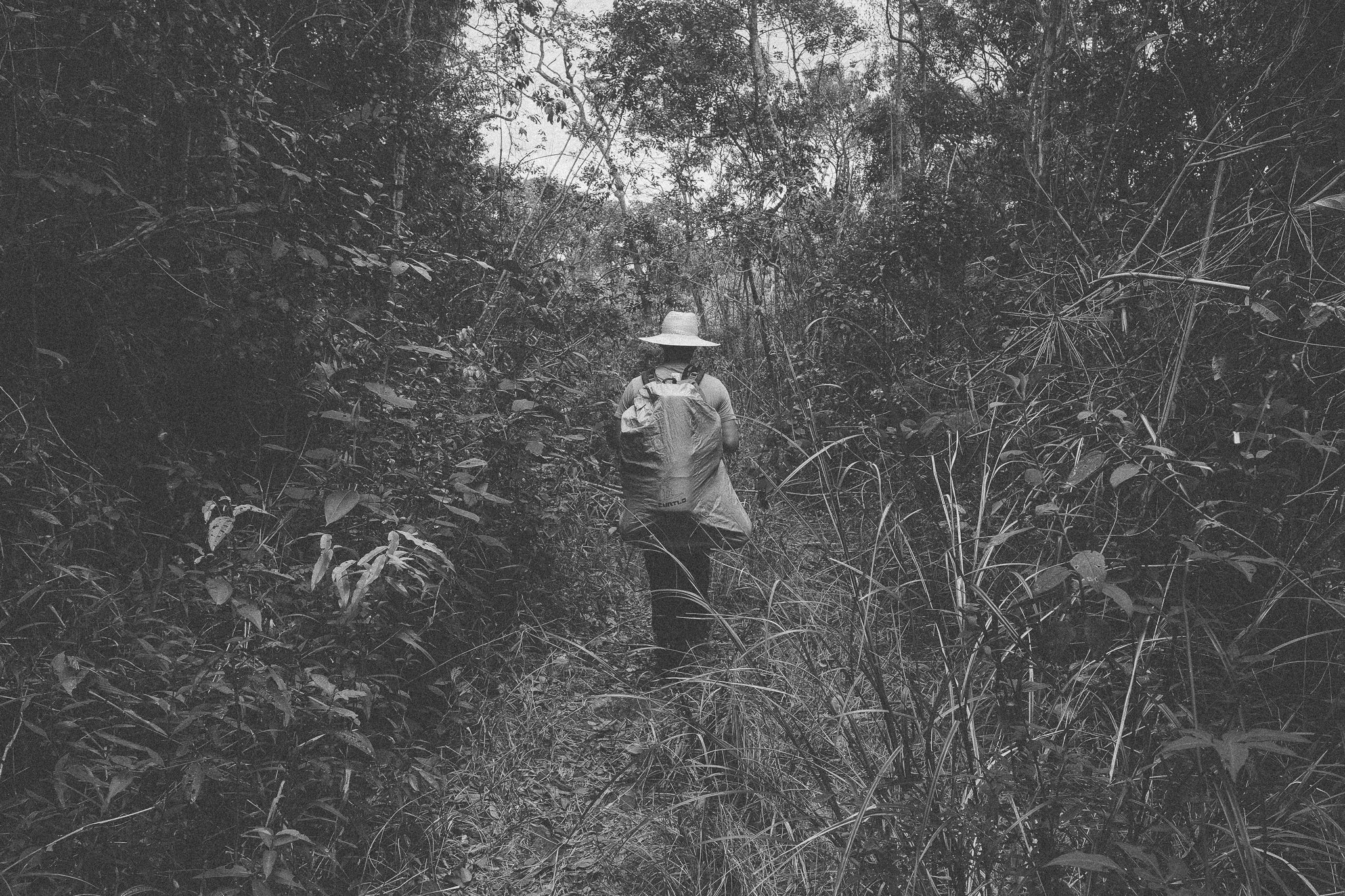
On the Trail. Taquaral
Sempre Vivas National Park
One of the wildest corners of the Cerrado
Imagine a stretch of wilderness the size of New York City with only a handful of residents, a few dozen visitors a year, and almost no tourism infrastructure.
Palm groves, high campos, flower-strewn valleys, and overgrown trails give the park a truly wild character. Conditions can be harsh: intense sun, little shade, fast-changing weather, and long stretches without outside contact.
Gift of Go is a member of the park’s council (CONVIVAS), sitting alongside local communities, firefighters, and researchers as Sempre Vivas prepares for a new phase of public visitation.
If your route passes through the Park, expect serious backcountry travel and some of the most isolated landscapes in the Espinhaço.
Few places in Brazil feel this overlooked.

vesperata. Diamantina
The City of Diamonds
During its inscription as a World Heritage Site in 1999, UNESCO called it “a colonial village set like a jewel in a necklace of inhospitable rocky mountains.” It’s a fitting description.
Diamantina sits at the center of the Espinhaço, both geographically and culturally. Today, it remains one of the region’s most important reference points—a place where trails converge, routes begin and end, and the wider story of the range comes into focus.
Despite its significance, it remains relatively under-visited, even within Brazil.

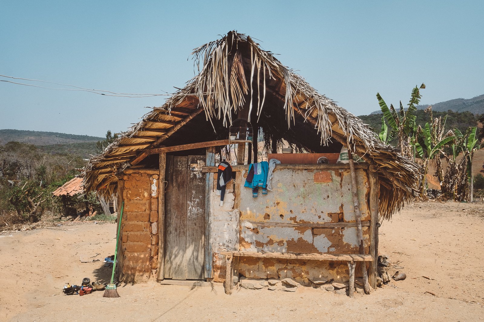
Street Scene, São Gonçalo do Rio das Pedras
Colonial-era Villages
Gems from a bygone era.
Curralinho. Mendanha. Inhaí. Serro. São Gonçalo. Milho Verde.
If it starts to feel like every other community in the Espinhaço is a colonial-era mining hamlet, you’re not far off. From elegant São Gonçalo do Rio das Pedras to Inhaí, Milho Verde, and São João da Chapada, the region is full of mountain settlements, each with its own setting and reason for being.
There’s a special rhythm to these places, and the locals know it.
Few settings bring you more quickly, and more deeply, into the range.
Guesthouse, Quarteis do Indaia
Quilombola Communities
Built in resistance. Rooted in place.
The discovery of diamonds in the Espinhaço reshaped both fortunes in Europe and the lives of countless Africans brought here in chains.
Founded by formerly enslaved Africans and their descendants, quilombola communities remain scattered across the mountains and valleys of the range, often tucked deep in the hills or hidden along little-used roads.
Some are thriving, while others remain quiet and inward-looking. Each carries its own history of endurance, autonomy, and community.
Being received by one is something we don’t take lightly.
View of the Rio Pardo Pequeno, from pontilhão
The Green Line
The way it was.
A series of small settlements that time forgot, strung along a former railway leading west through lush mountain vegetation. From dusty, rough-around-the-edges (but only the edges) Conselheiro Mata (pop. 200) to lonesome Mendes (pop. 2) and serene Barão de Guaicuí (pop. 50), the Green Line’s residents, crystal-rich inselbergs, fertile soil, and position between Diamantina and the western lowlands make it a fascinating case study in regional identity.
Nowhere else do ambitious miners, idealistic mystics, rowdy cowboys, and weekenders gather with such conviction.
View of Itambé from the Chapada do Couto
Pico do Itambé
A mountain. A monument. A milestone.
The region’s undisputed icon, Pico do Itambé (2,052 m), watches over the range like a citadel, living up to its billing as “the roof of the Espinhaço.” Rising more than a thousand meters above the surrounding peaks, it marks a hard divide between the Jequitinhonha and Doce river basins, and a softer one between the Atlantic Forest and the Cerrado.
Reaching the summit after a sustained climb is one of the most satisfying moments to be had anywhere in the Espinhaço.
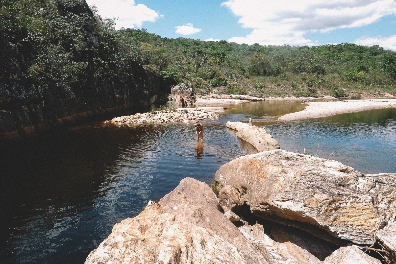
Rock Quarry-turned-swimming hole. Lavrinha
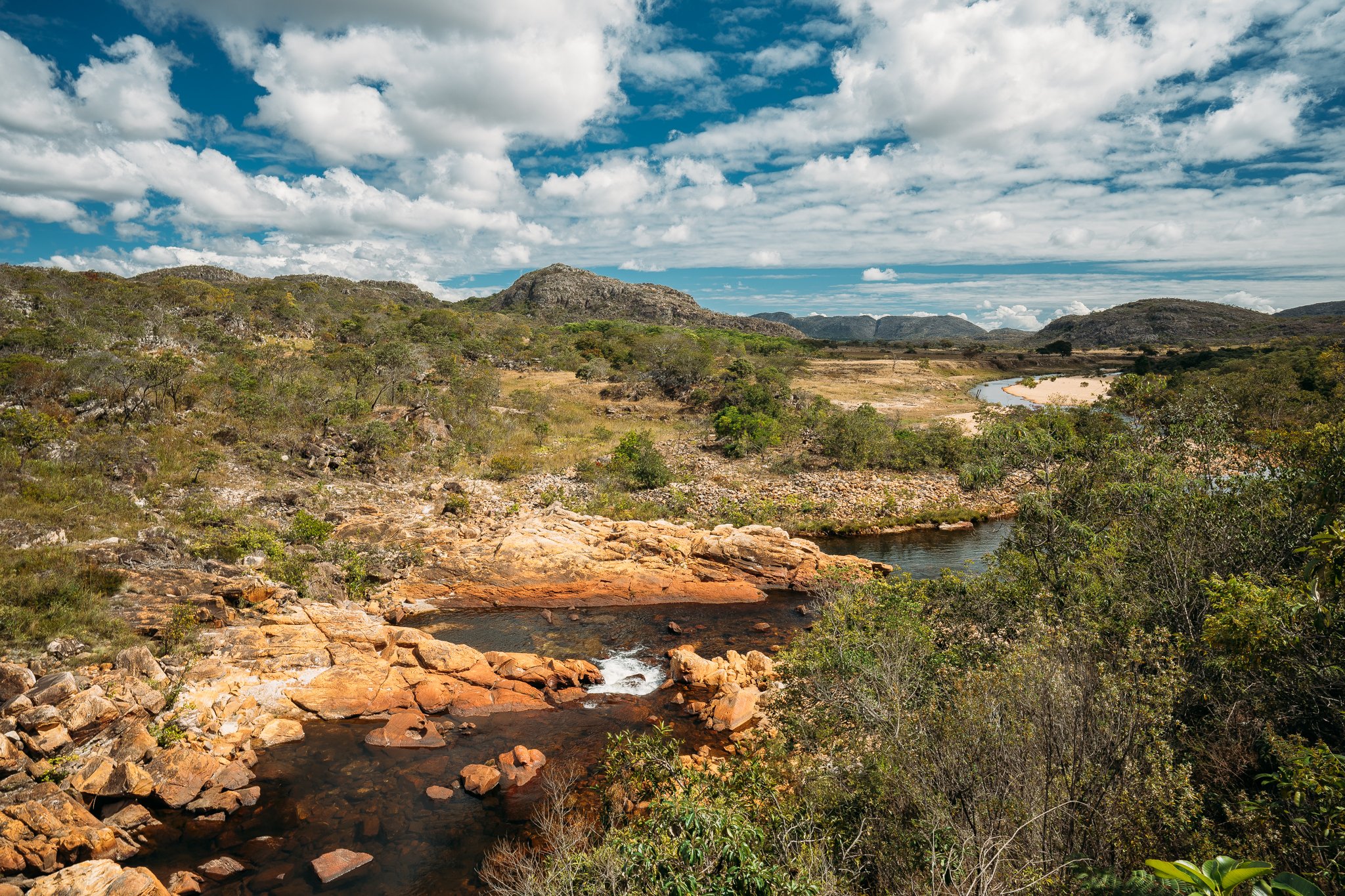
Água, everywhere
The waterfalls, rightfully, steal the scene, but água pulses everywhere and permeates everything in the Espinhaço.
From crystalline streams, bright emerald lagoons, and cola-colored rivers to palm-strewn wetlands, flowered bogs, and even oasis-like hot springs, the range wouldn’t be the same without the water moving through it.
Three of Brazil’s most important rivers—the São Francisco, the Jequitinhonha, and the Doce—take shape here, with the latter two rising on the Espinhaço’s high plateaus.

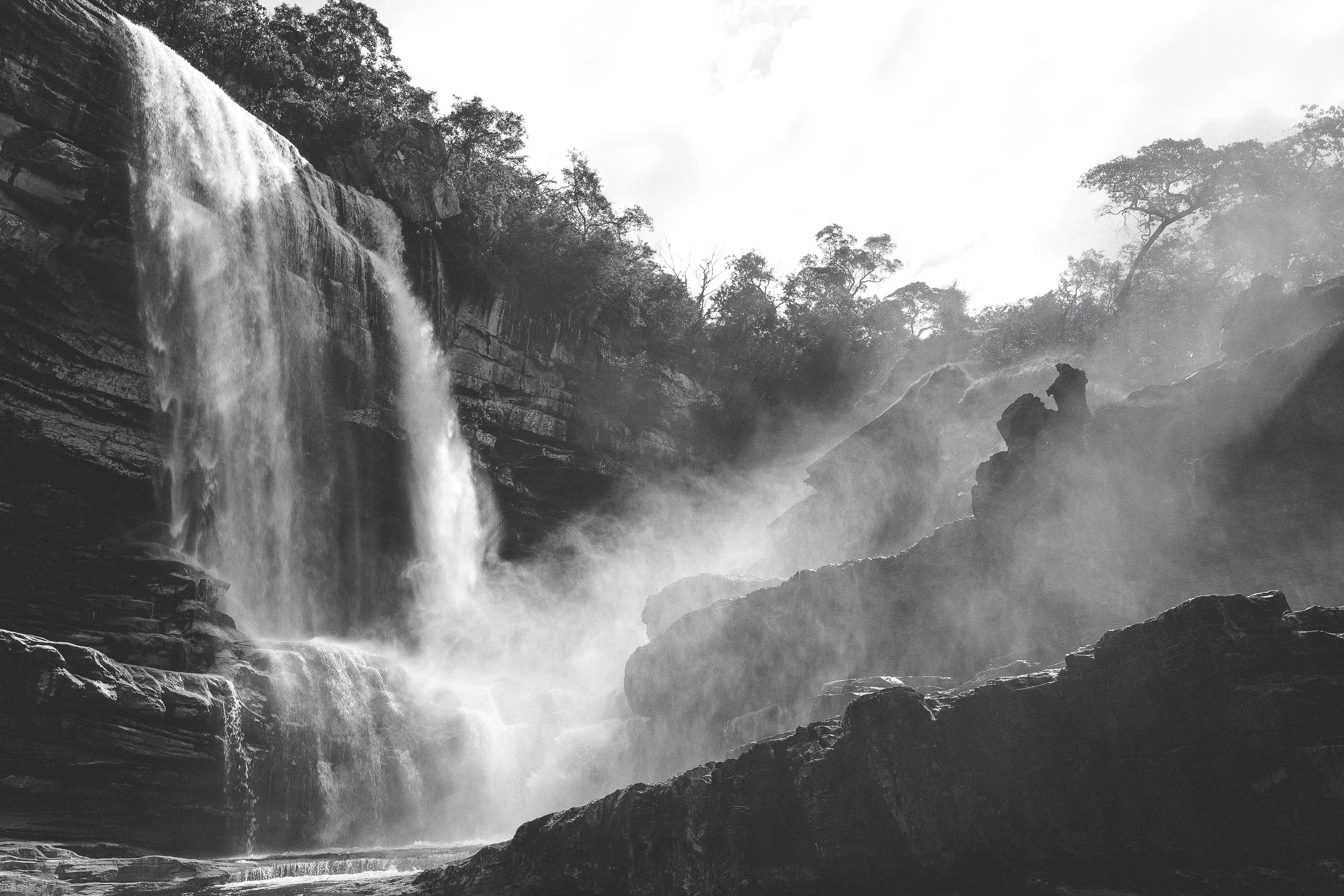
The Waterfall of Lost Time
Waterfalls
The Espinhaço’s answer to sun, sea, and sand
Take it from us: attempting to count the waterfalls of the Espinhaço is an exercise in futility.
Just as futile is trying to spend more than a day or two on the trail without bathing in one.
Hundreds of falls spill from quartzite escarpments across the range, feeding the rivers that sustain the interior of Brazil.
From soothing cola-colored cascades to white-sand masterpieces, the only real question is which ones the route will lead you to—and whether you prefer to admire them from the shore or dive in head first.
Ice-cold has never felt so good.
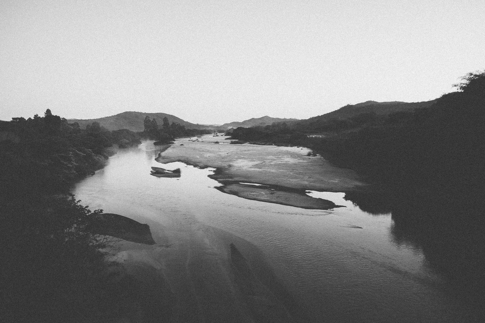
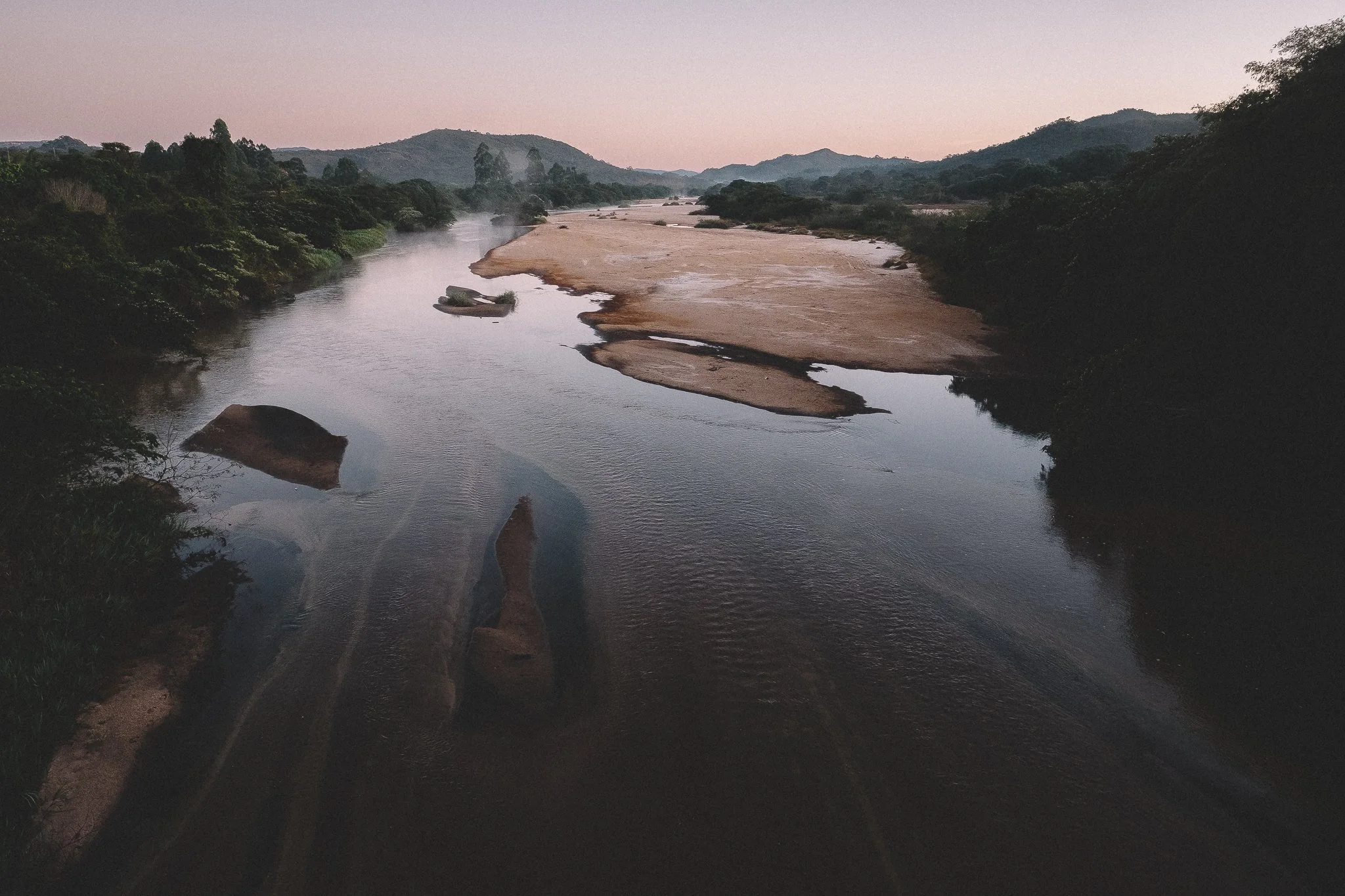
The Jequitinhonha: scarred But Beautiful.
The Jequitinhonha
A chance to touch time.
The peaks and parks may draw the eye, but nothing has shaped this region or its fortunes more than the rivers that run through it.
None more so than the Jequitinhonha.
Solemn and dignified, even after centuries of extraction and neglect, its diamond-rich waters once buoyed a distant empire and helped shape a nation. Even now, scarred and overlooked, it sustains more than half a million Brazilians living downstream.
In theory, we cross enough rivers, creeks, and streams for it to become routine. There’s something about standing on the banks of the Jequitinhonha, then stepping into it, that never becomes routine.