The Sertão
Rolling hills, wide horizons, open roads, and water that’s always just around the bend.
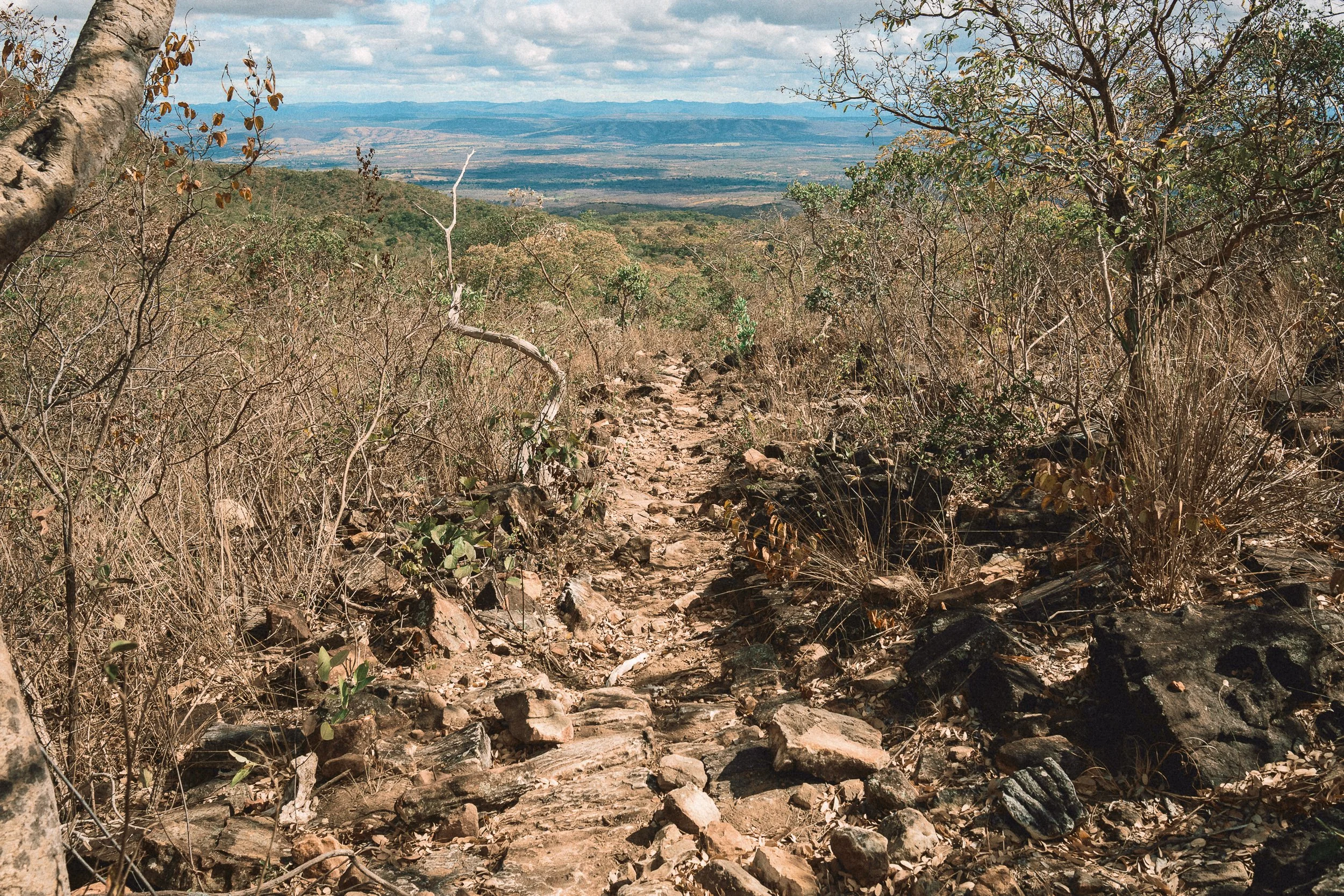
West of Diamantina, the range begins to spread out.
Elevation gradually gives way to distance, and narrow footpaths give way to long dirt tracks. Quartzite inselbergs give way to low hills and long, gently bending river valleys, and railway towns sit next to agrarian hamlets.
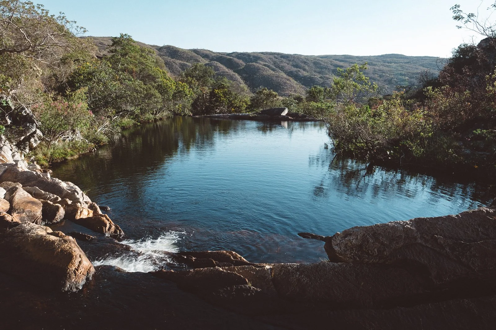
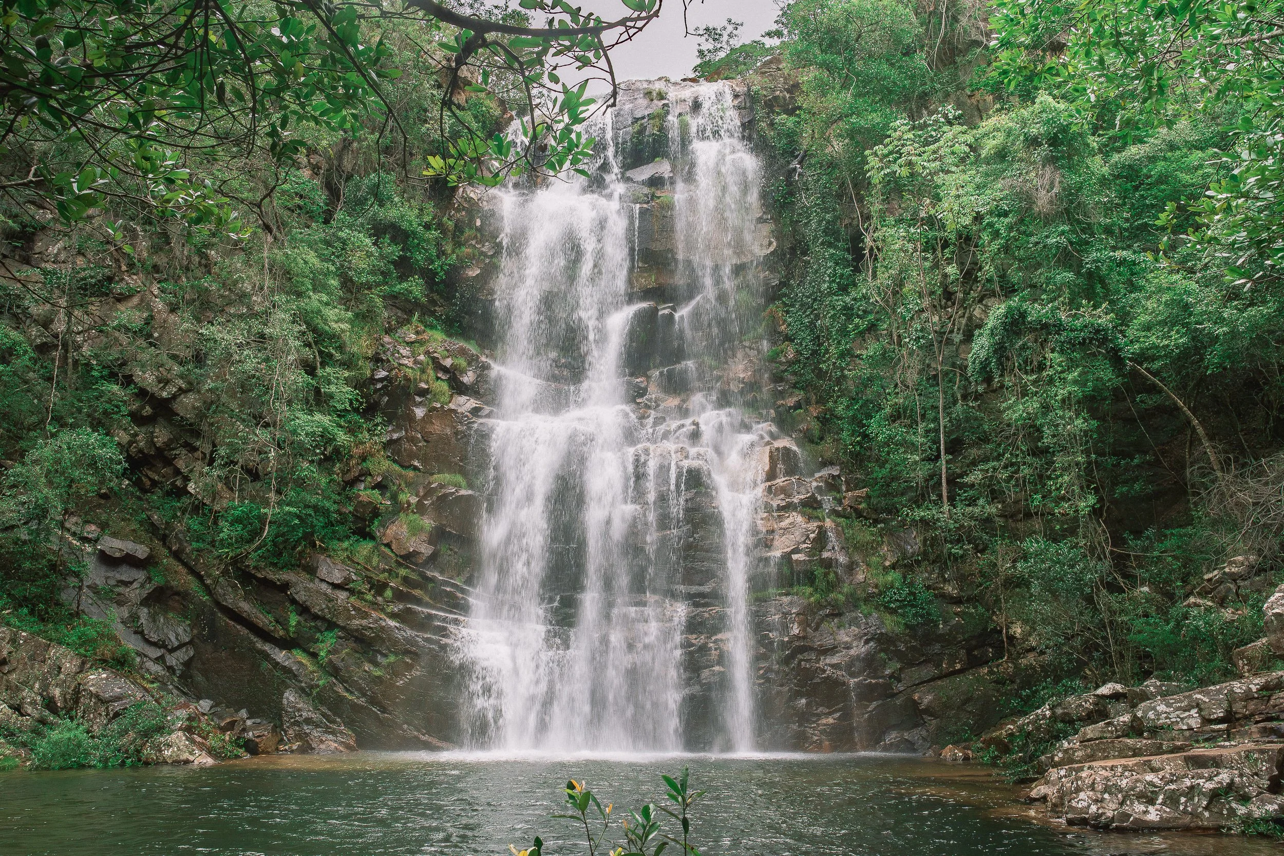
Water is never far on this side of the Espinhaço. It gathers in the rivers atop the western escarpment, then drops in wide, forceful falls before settling into pools, springs, and slow-moving streams below, where people wash, swim, and linger.
The Sertão is our circuit along these western reaches of the range—a landscape of open Cerrado, working land, and small communities shaped by water, livestock, railroads, and time.
Distances stretch out here, and evenings tend to follow with them, with long hours on the road and on horseback giving way to time at tables, cachoeiras, and on shaded front porches. After long days elsewhere, time here settles differently.

Santa Rita. (AUgust)
At a Glance
Our Sertão circuit follows the western edge of the Espinhaço Meridional and the lowlands that extend from it, beginning near the escarpments of Sempre Vivas National Park and continuing into the river valleys and the communities beyond them. It includes stretches of the São Francisco basin, the western approach to the Park, and the railway corridor known as the Linha Verde.
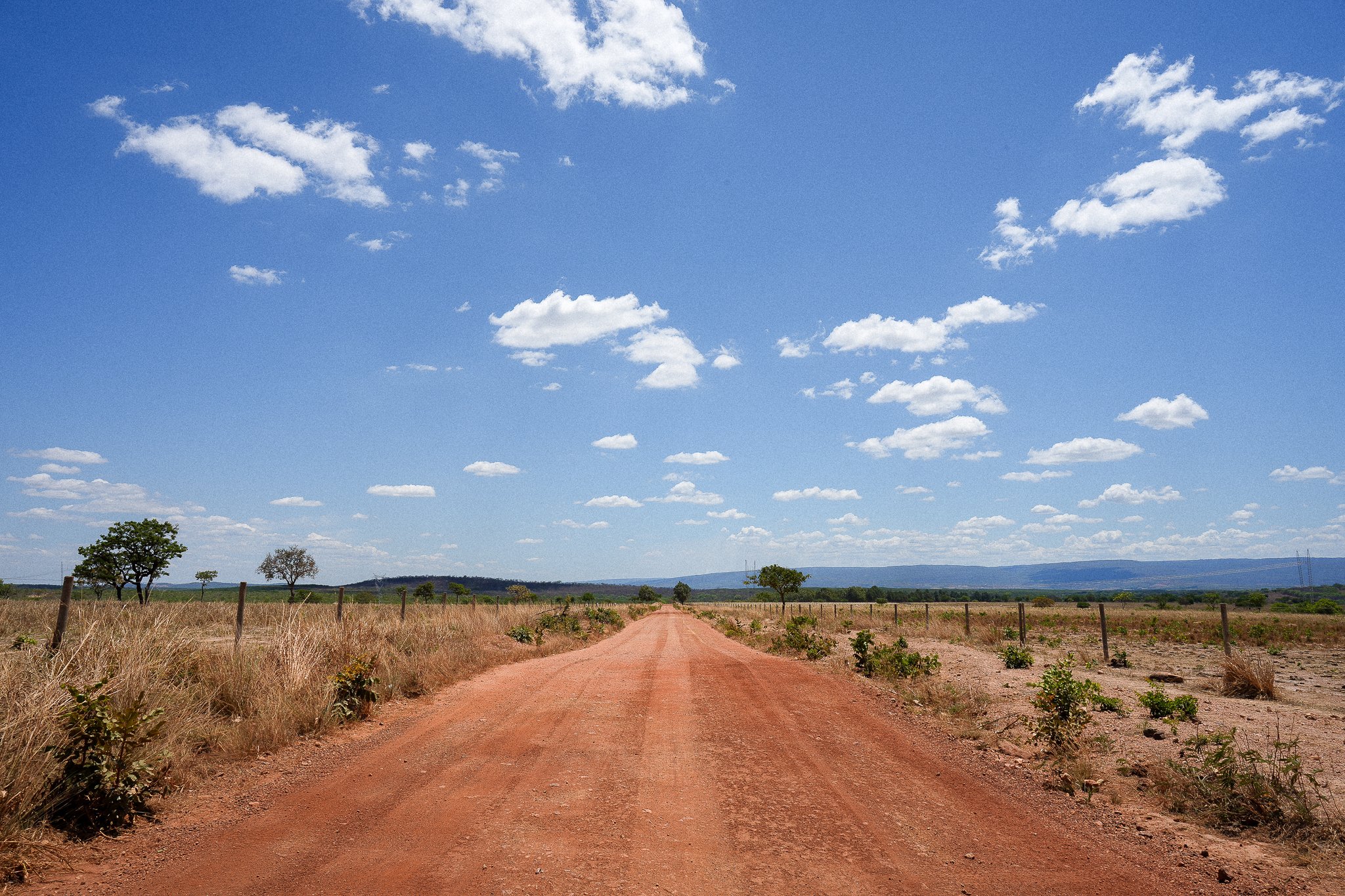
The terrain opens here, as does the view. In the lowlands between the Espinhaço and the Serra do Cabral, rolling hills, pastureland, and open roads take the place of the peaks, climbs, and dense trail networks of the highlands.
Closer to the range, along the Linha Verde, the ground begins to rise again. Rounded quartzite inselbergs appear, and vegetation thickens in places, marking a gradual return toward the highlands rather than a sharp transition.
Across the circuit, the Cerrado shifts in form, from lush riparian corridors and denser pockets of vegetation to dry woodland, scrub, and seasonal forest—though water is never far. In the lowlands, rivers widen and slow, waterfalls gather volume, and hot springs appear. Closer to the range, water runs clearer and colder, collecting in pools, streams, and smaller falls along the way.
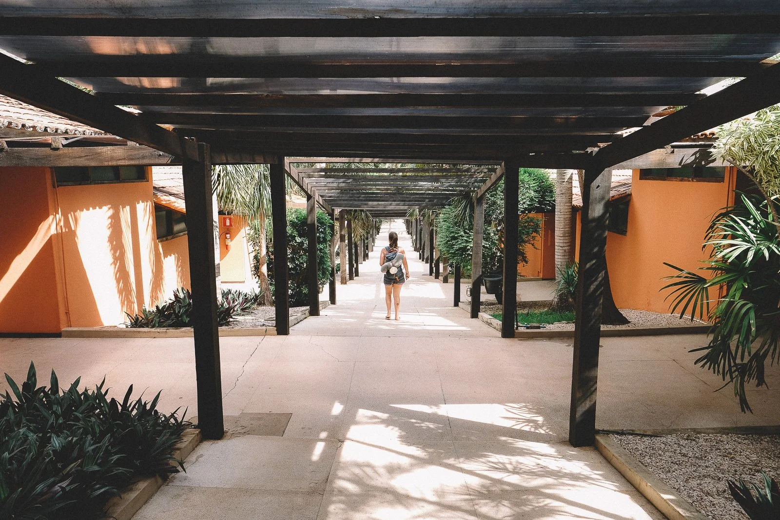
Life follows that same openness. Communities are spread out, but people remain a constant presence. Ranches, homesteads, and vilas sit along the route between small towns and former railway settlements, offering places to stop and spend time, with accommodations ranging from simple pousadas and homestays to the occasional hot spring property.
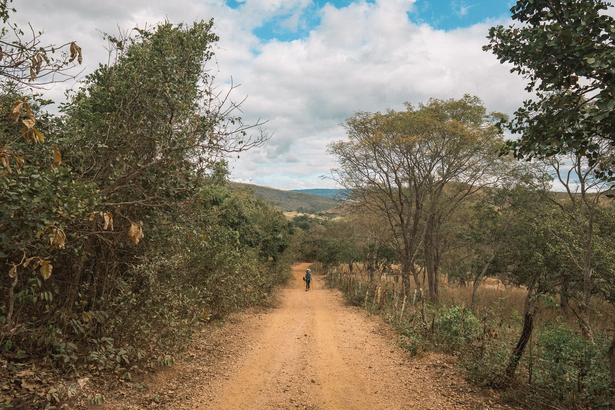
Distances stretch in the Sertão, and reaching it from other parts of the range often means covering real ground—either in long treks from the highlands or in more varied routes that combine road, saddle, and time on foot, often within the same day.
Once there, it becomes a place to settle into.

Trail to Cachoeira dos Borges (April)
Who This Circuit is For
The Sertão tends to suit those who want to slow down and spend time inside the everyday rhythms of the Brazilian interior—small towns, working landscapes, and the kind of places where life happens in the open. Good food, long conversations, shaded front porches, and the presence of people going about their day are all part of the experience.
This is a more accessible part of the Espinhaço in terms of terrain, though distances can stretch. Days are often long—especially when traveling on foot—and while the effort is less concentrated than in the highlands, the ground covered can add up. The difference is one of rhythm—less about pushing over passes, and more about settling into the space between places.
Few places in the range lend themselves as well to riding and overlanding, and both can be balanced with time on foot, often in the same day, with stops at rivers, waterfalls, and small towns along the way.
Those looking for more rugged trails, highland views, remote wilderness, or extended time away from infrastructure often find a better fit elsewhere in the range.
For others, the Sertão becomes a place to ease into or out of longer crossings—a place where the pace softens, days open up, and time is spent as much with people as on the trail.

Curimataí (September)

Cachoeira das Fadas (October)
Crossing the Rio Pardo (September)
Santa Bárbara (October)
Cachoeira SAnta Rita (April)
Waterfalls & River Bends
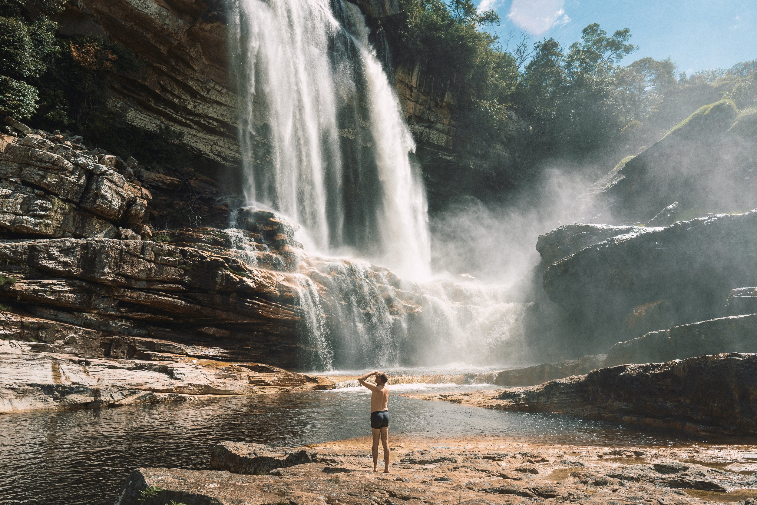
Across much of Brazil, the word sertão is associated with hard times and unforgiving conditions. Here in the Espinhaço, water is a constant, welcome presence.
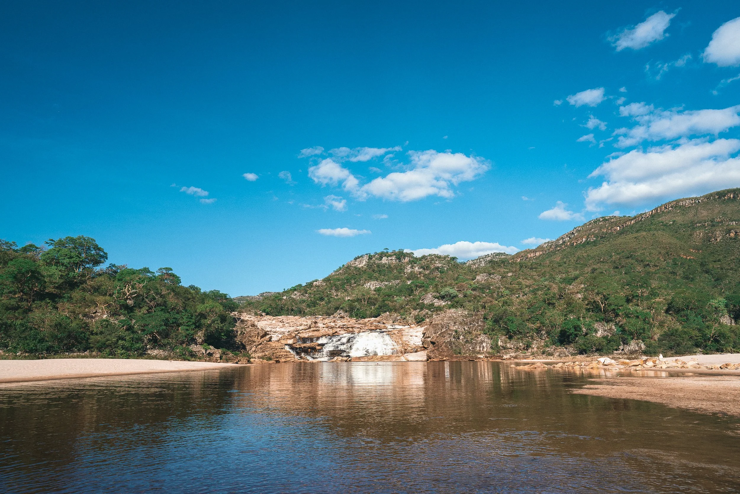
Rivers gather atop the western escarpment before dropping sharply over the edge, in some instances forming the kind of towering, voluminous waterfalls more closely associated with the Atlantic Forest than Cerrado. From there, they course across the lowlands, slowing, widening, and bending through the landscape.
Some of the range’s most impressive—and visited—falls are found here, including Fadas, Telésforo, and Santa Bárbara. Others sit quietly along the route, often shared only with those who live nearby.
In the lowlands, warm springs appear—never truly hot, but noticeably different from the frigid water of the highlands.
Elsewhere along the circuit, swimming holes, riverside beaches, and stretches of clear, swimmable water become places to stop during crossings, and are folded into the daily life of those who live nearby.

Cahoeira dos Borges (April)
Cahoeira da Raíz (september)
Cachoeira das Fadas (March)
Telêsforo (April)
Near Teixeira (September)
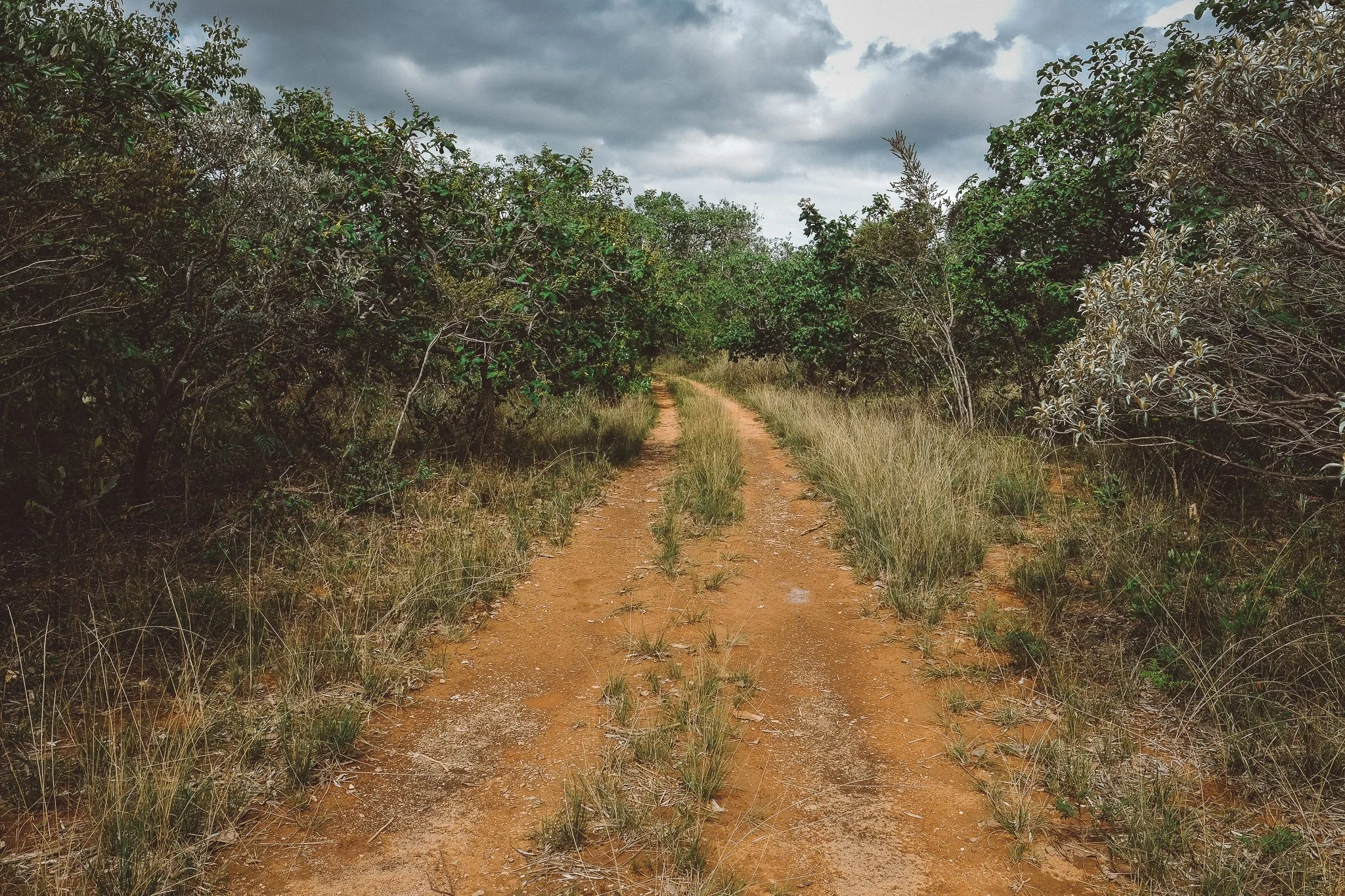
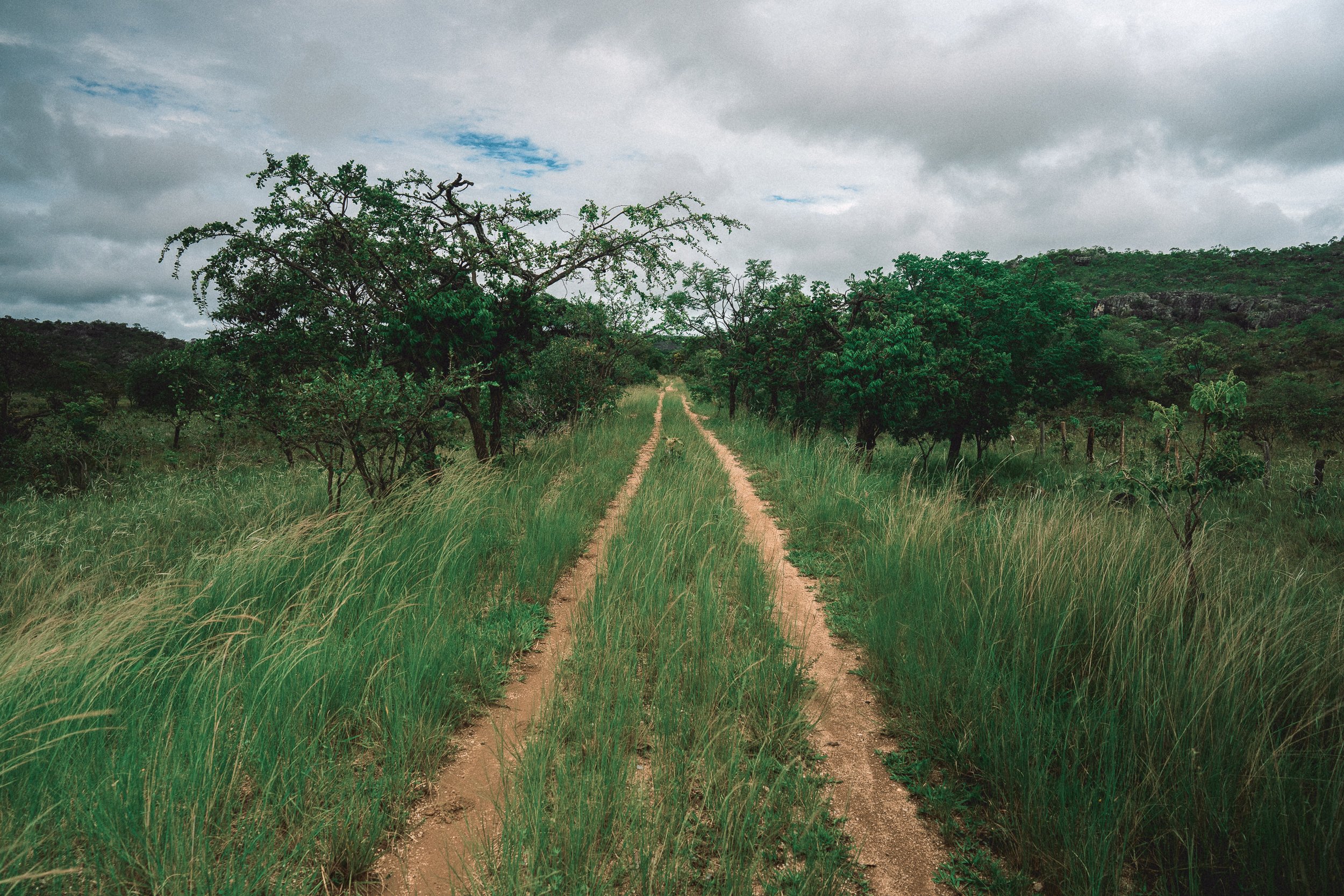
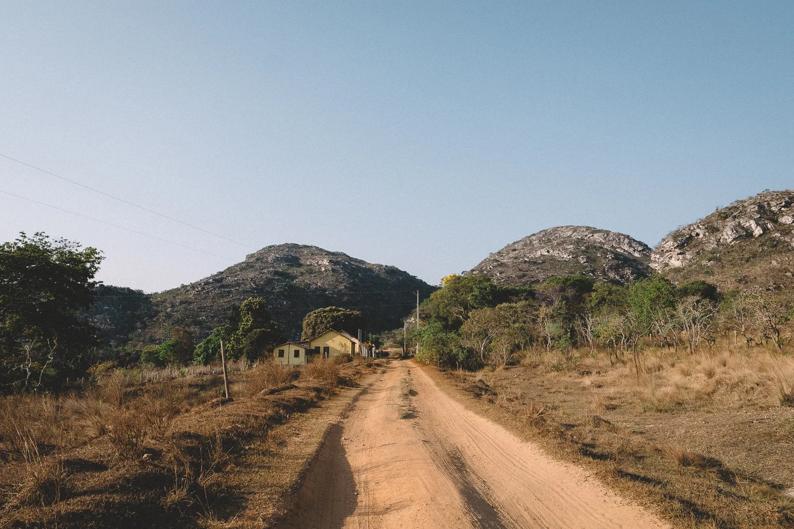
Lowlands & Open Roads
Our Sertão circuit unfolds across two layers: the western edge of the highlands and the lowlands that stretch out below.
In the lowlands, travel follows the roads.
Here, long stretches of dirt track connect one community to the next, running through pasture, along riverbanks, and between low hills, rising and falling as they go. Now and again, smaller roads and trails branch off, leading toward riverbanks, waterfalls, and smaller tracks nearby.
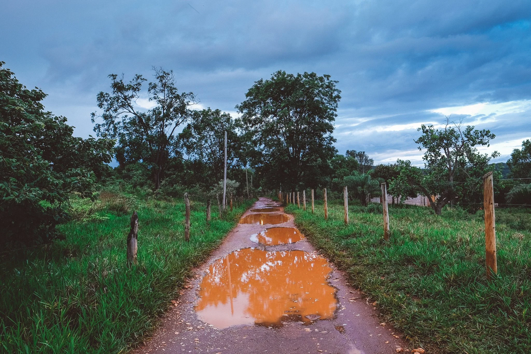
The roads themselves change with the season. In the dry months, they’re coated in fine dust. When the rains come, they turn heavy and slow, marked by mud, deep pools of standing rust-colored water, and the need to work your way through them.
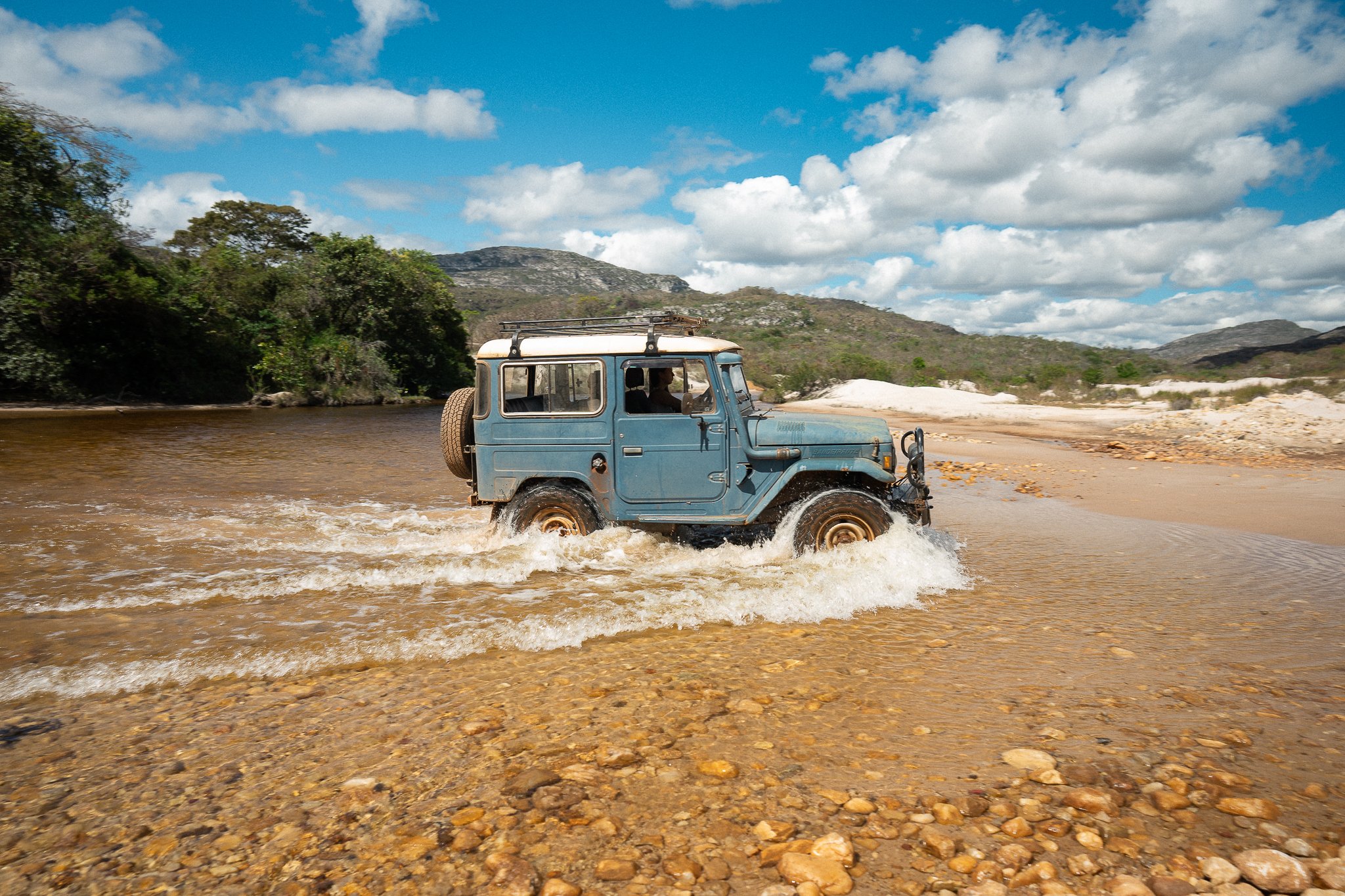
Riding is still common throughout the Espinhaço, and even more so in the lowlands. It’s a natural way of getting around, with a pace that matches the terrain and covers distance without losing contact with the landscape.
During crossings, we often travel this part of the circuit on foot, by saddle, and by vehicle in the same day. The distances make it both practical and natural—what might feel like a compromise elsewhere in the range doesn’t feel like one here, with the route often finding its way to water.
The road. Conselheiro Mata (November)
Trail to Usina. Conselheiro Mata (November)
Estrada Real. Near Curimataí (July)
Sertão road (July)
Linha Verde (January)
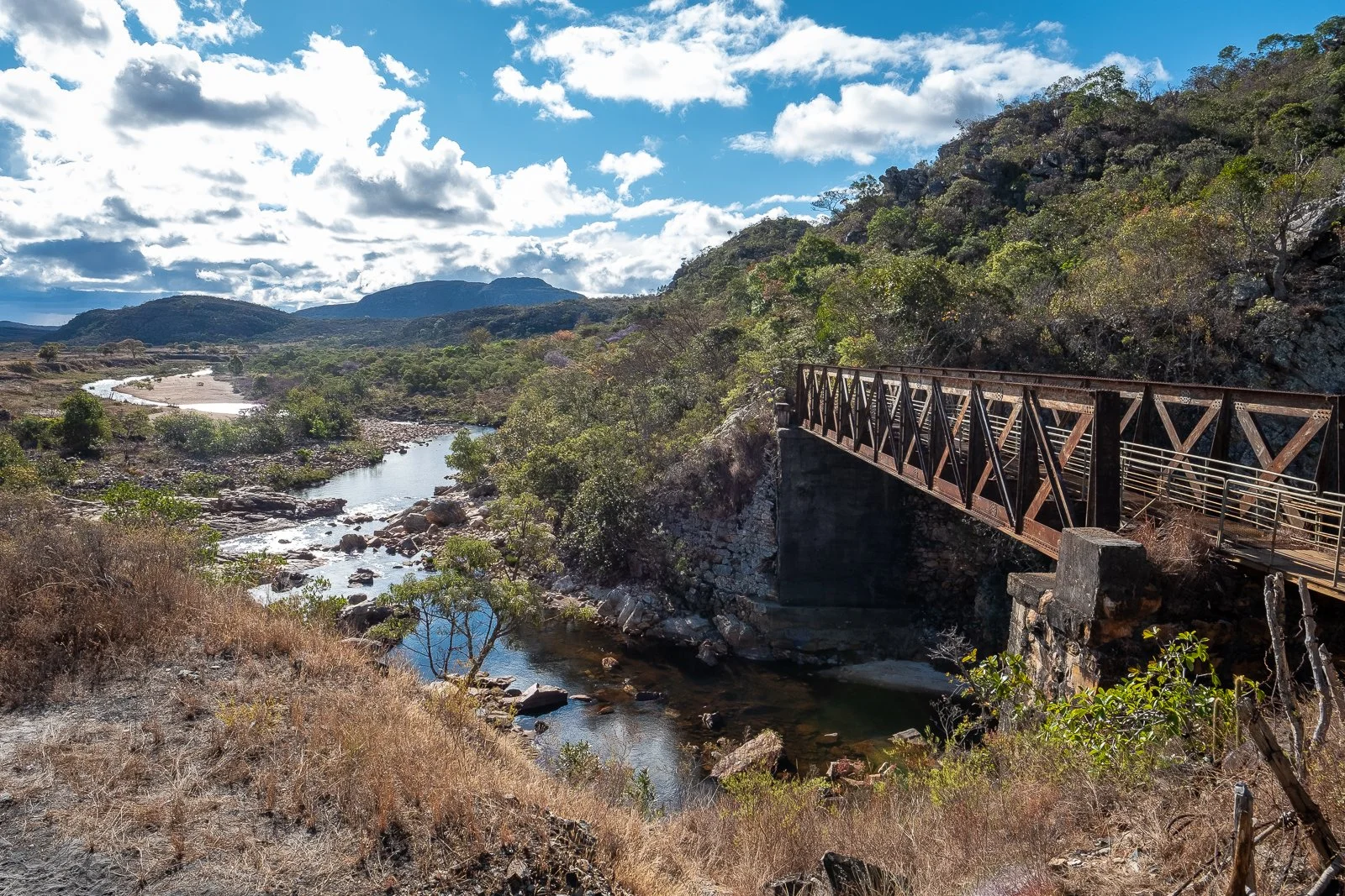
The Linha Verde
The Linha Verde (literally, the “Green Line”) cuts across the upper reaches of the Sertão, following the path of a former railway that once connected Diamantina to the lowlands.
Built in the early 20th century and dismantled decades later, it left behind a continuous corridor through the landscape that still holds its shape, linking small communities across stretches of open Cerrado and pockets of thicker vegetation.
As the line climbs toward Diamantina, rounded quartzite inselbergs rise above the surrounding terrain, marking the mining country that once defined the range. As it descends the escarpment, rivers drop away on either side, feeding waterfalls that gather in the valleys below.
Small communities along the line reflect the railway’s history. Towns that once served as waypoints between Diamantina and the lowlands have turned inward to small-scale agriculture or mining, while others now consist of only a handful of homes.
A few have pivoted toward tourism, a change aided by the railway’s recent designation as a scenic byway, though travel along the line itself remains light.
Travel here is unusually direct for the Espinhaço. The grade is steady—either climbing or descending depending on the route—and distances accumulate uninterrupted. In a region of fragmented trails and branching roads, it offers something rare: a continuous path forward.

The Railway. Barão de Guaicuí (August)

Conselheiro Mata (September)
Pontilhão (September)
Linha Verde. Mendes (August)

Riders in Curimataí. (September)
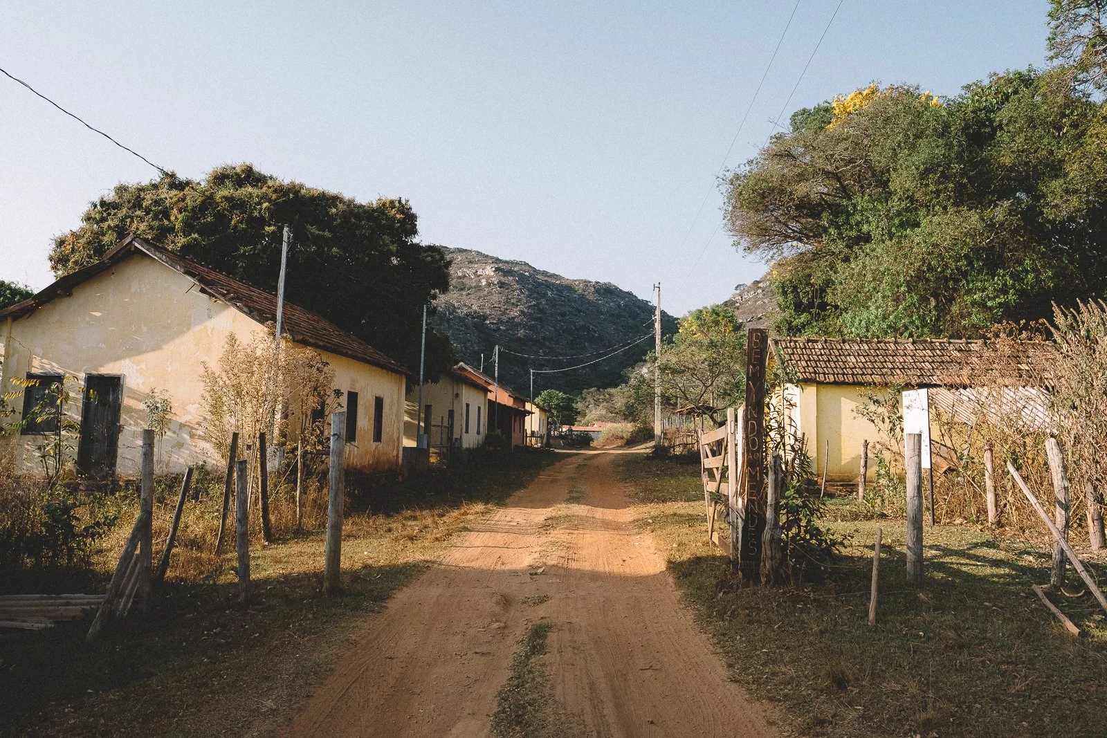
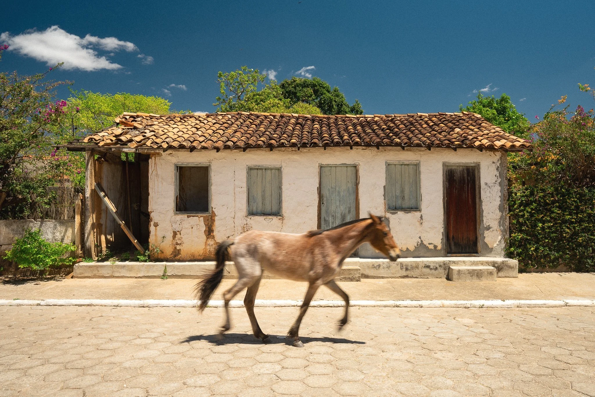
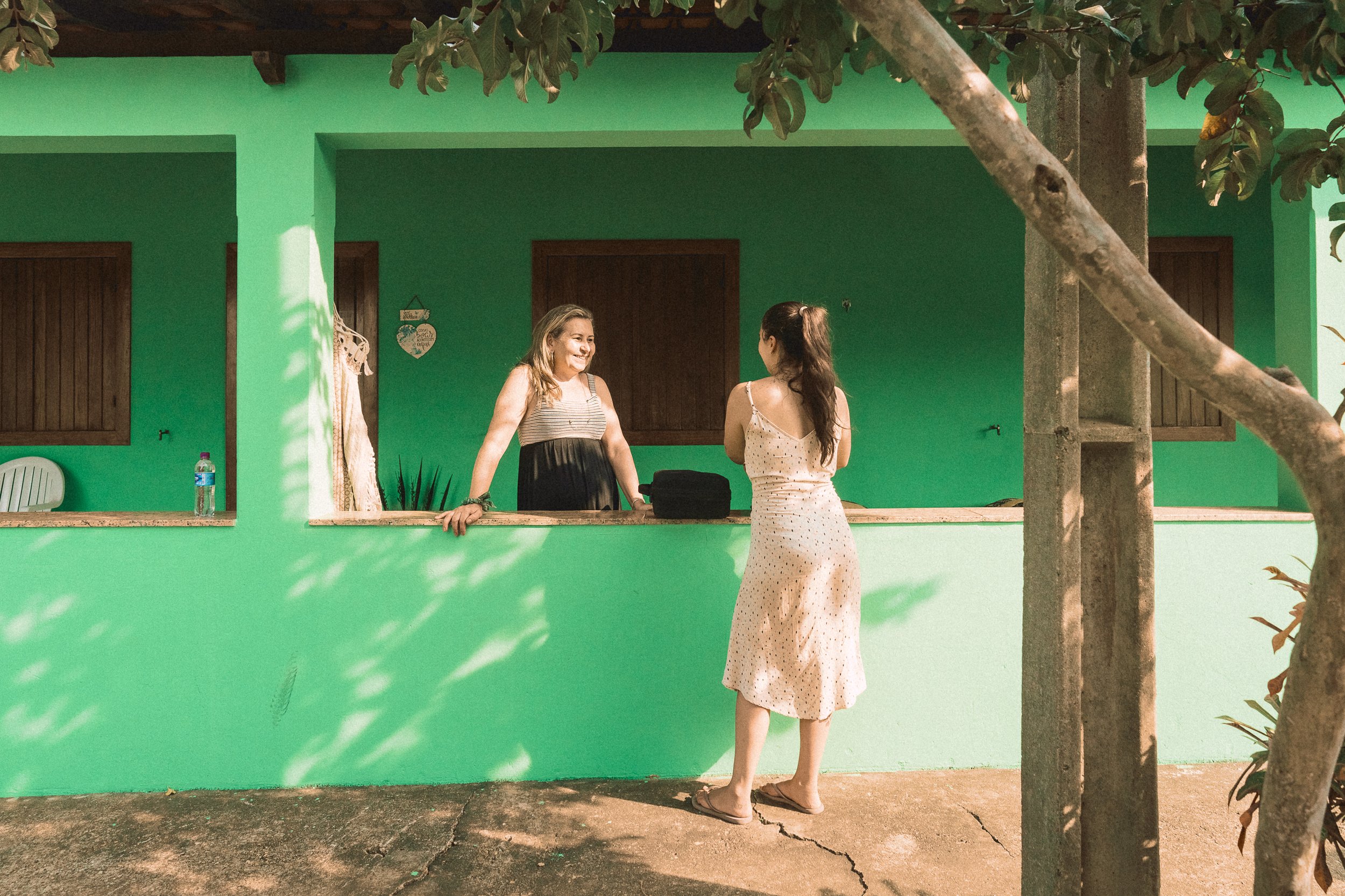
Working Villages
Community is never far in the Sertão.
Small towns, vast ranches, tiny outposts, and former railway settlements sit along the roads and rivers, spaced out across the landscape but closely connected all the same. Passing through them has always been part of the journey here—as is staying longer than expected.
Life happens out in the open in this part of the range. Front doors stay open, conversations carry across porches and into the street, and days unfold in shared space. Whether moving through on foot or saddle, or taking it in from a shaded front porch, the sight of people working, visiting, and resting in the shade settles in as part of the day.
Meals are central to that rhythm. Food is simple, abundant, and taken seriously, with long tables, slow pacing, and just enough time for everything else to fall into place around it. In the morning, café and pão de queijo are never far behind. In the afternoon and evening, ice-cold cerveja and locally made cachaça are all but guaranteed.
The pace invites it. A stop for water turns into a conversation about the weather or the journey ahead. Someone nearby pulls up a chair. Another drink appears. There’s no clear moment when things begin or end. Saying goodbye requires persistence.
The interior of Minas is known for its hospitality. Crossing it is one thing. Leaving it behind is another.

Barão de Guaicuí (August)
Street Scene, Curimataí (September)
Gilma’s house, Curimataí (September)