The Berço
Quiet river valleys, weathered mining districts, and older ways of life that continue largely unchanged.
North and northwest of Diamantina, the Espinhaço turns inward. The terrain becomes more varied, trails narrow and fade, and travel follows the paths of those who have lived and worked here for generations.
Routes link small quilombola villages and former mining settlements with rural outposts shaped by both isolation and continuity. Many of these routes predate modern travel. In places, they remain part of daily life.
The landscape itself reflects that history. River valleys cut through dense forest and high fields, with white sand banks, thinned riverbeds, and vast stretches of preserved land that have slowly grown back after centuries of use.
The Berço is our circuit through this part of the range—a place where travel slows, not only because the terrain demands it, but because the ground holds more than one layer of time.
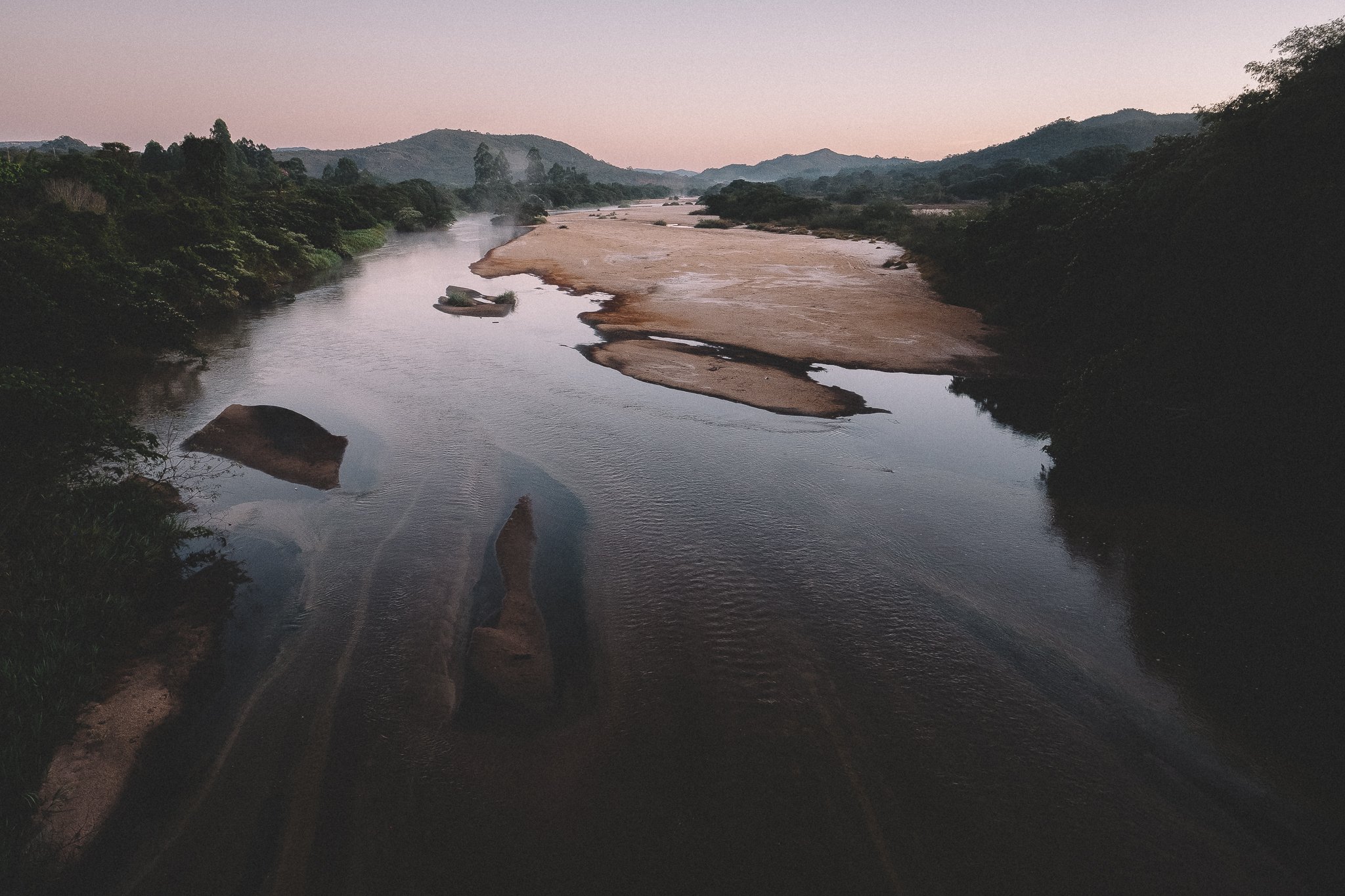
Rio Preto (April)
At a Glance
The Berço encompasses the northern and northwestern reaches of the Espinhaço Meridional, extending outward from Diamantina into a network of high plateaus, river valleys, and former mining districts that remain lightly traveled today. It includes the southernmost reaches of Sempre Vivas National Park, Biribiri State Park, and a wide range of rural communities spread across the surrounding landscape.
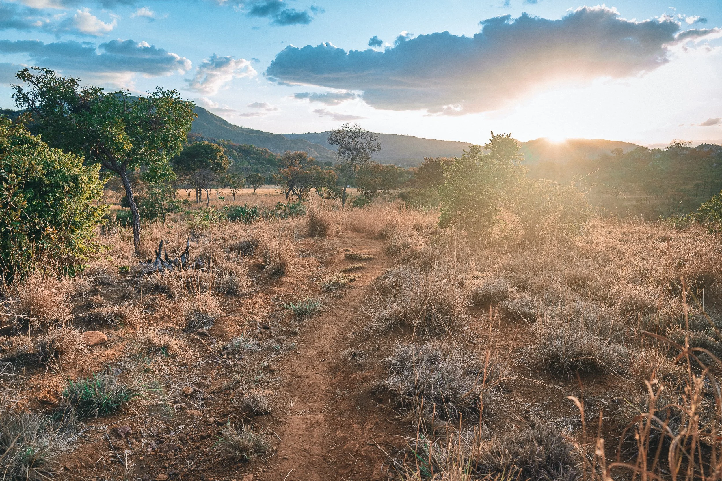
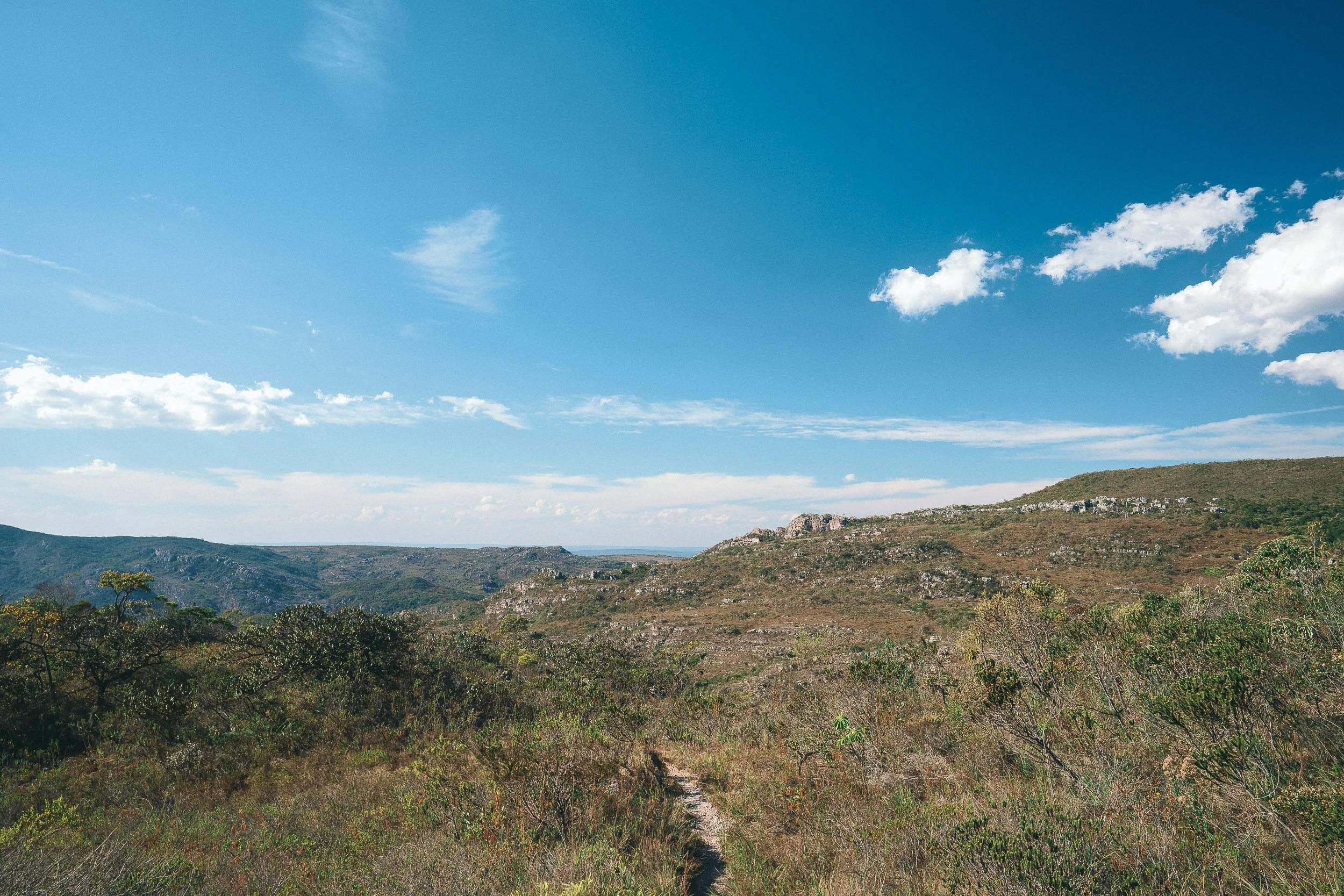
The terrain is varied and often demanding. Trails follow old mining routes, mule paths, and local footpaths, moving between high savannah in its many forms, forested valleys, riverbeds, and stretches of overgrown ground that can be difficult to read. Occasionally, a dirt road provides the way forward. In many cases, these routes are no longer maintained, and movement requires steady attention. On higher ground, poacher and flower-picker trails move quietly through the fields.
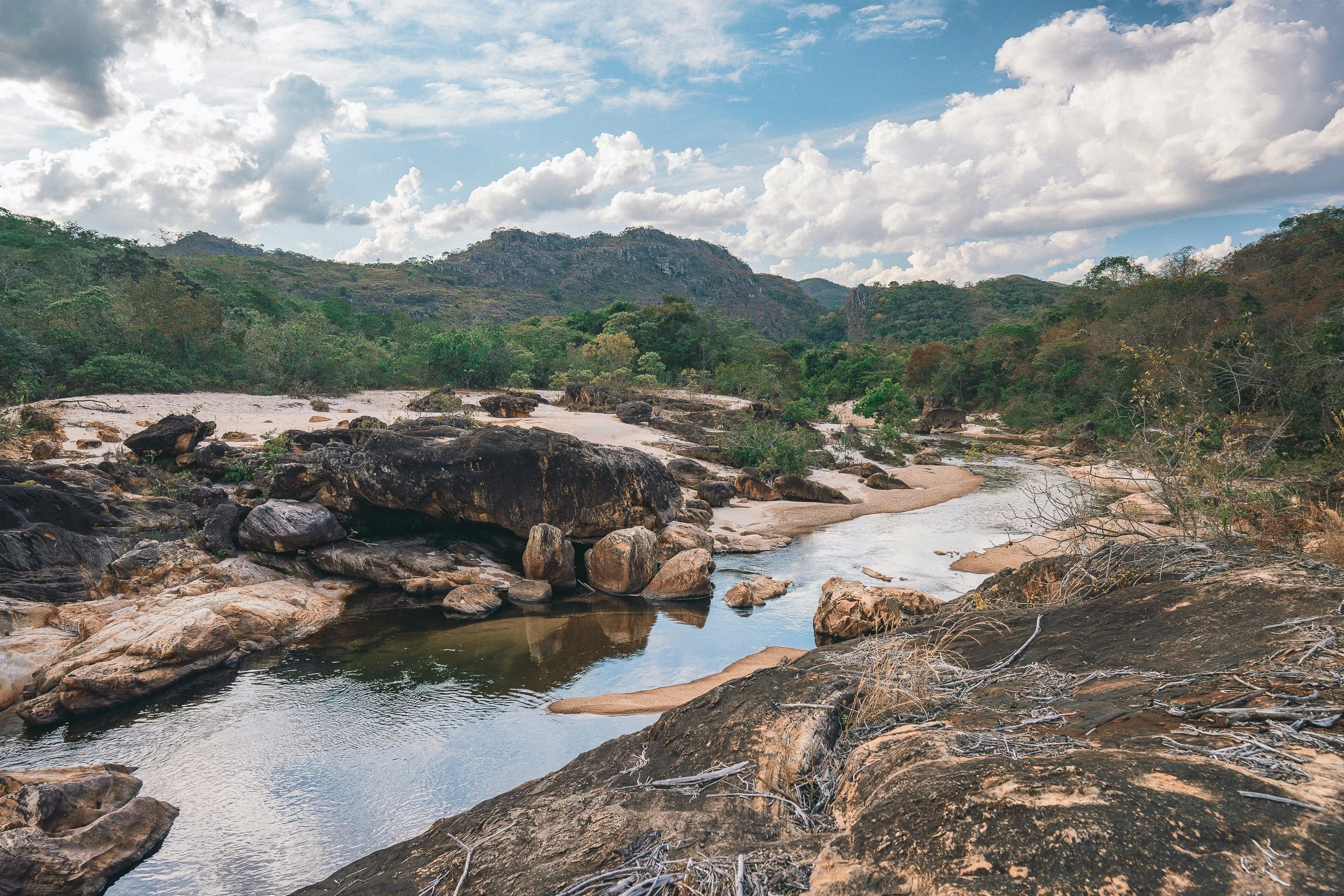
Water is present throughout the region. Rivers and streams cut through the valleys, with white sand banks, shaded swimming holes, and waterfalls appearing across the landscape, often just off the main routes. Many of these waterways were once central to diamond extraction, and traces of that past remain visible today.
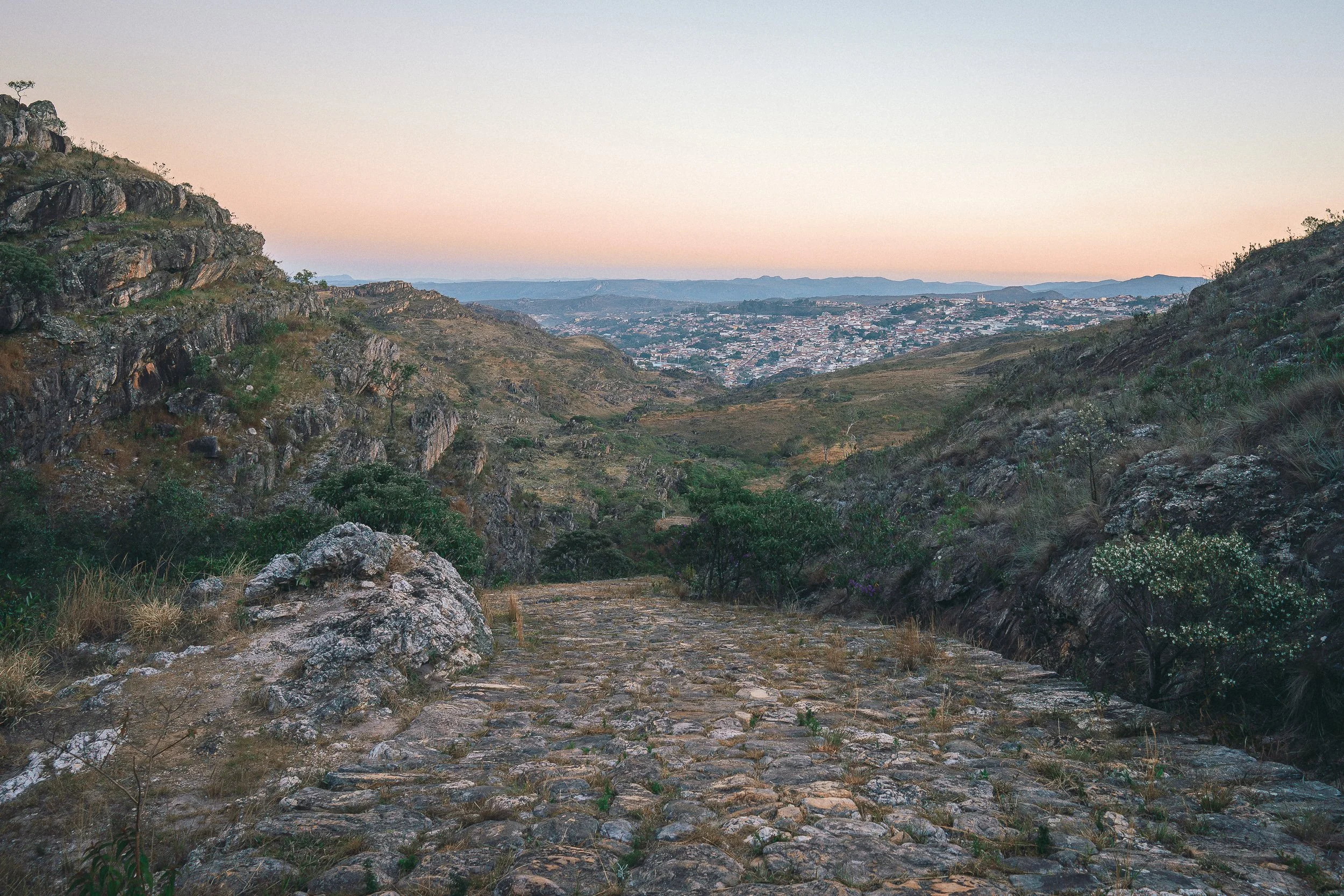
Across the Berço, history remains close to the surface. Former mining towns, many now diminished, sit alongside quilombola villages whose presence dates back generations. Riverbanks and old quarries still bear the marks of extraction, while slave-built stone roads and old tropeiro routes remain intact in places, including sections of the Caminho dos Escravos that connects the backcountry to Diamantina.
Life in this part of the range moves at a slower pace. Villages are small, commerce is limited, and much of daily life takes place out of view, within homes, backyard plots, and the fields beyond town. Accommodations reflect that reality, with homestays and backcountry campsites forming the majority, alongside the occasional small inn.
Though it can be traveled on its own, we often reach the Berço as part of longer journeys through the Espinhaço, where it becomes a more inward stretch of the crossing.

The old school trail (July)
Who This Circuit Is For
The Berço tends to suit travelers who want to go deeper into the range, toward places well beyond the usual routes, where both the landscape and communities feel largely untouched by outside attention.
While much of the circuit can be reached by vehicle, it’s ideally experienced on foot—with certain stretches well suited for horseback. What matters most here isn’t how the ground is covered, but how closely it’s experienced.
Routes range from dirt roads to overgrown trails that can be difficult to read. Even moderate days can require focus, and longer stretches ask for steady presence across uneven terrain.
Tourism is minimal in this part of the Espinhaço. Infrastructure is limited, and outside attention remains rare.
For those seeking open highland trails or lively small town evenings, the Berço can be more demanding than it first appears. The terrain requires attention, and the region asks for a more deliberate way of moving through it.
For others, this is exactly the draw. It suits those who are comfortable going beyond the usual routes, who need little along the way, and who value discovery in its simplest form—through the landscape itself, the people encountered, and the sense of having spent time in a place that remains, in many ways, its own.

Caminho dos Escravos, Diamantina (April)
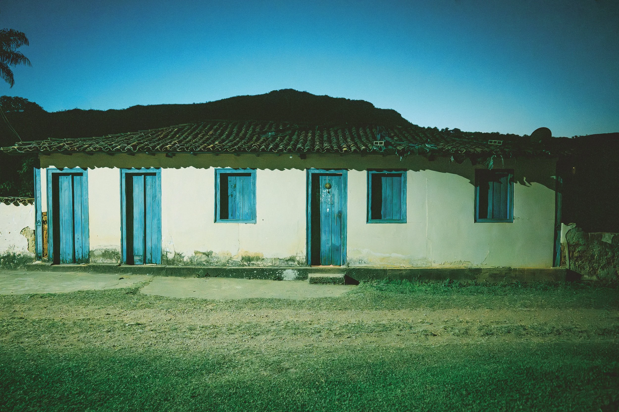
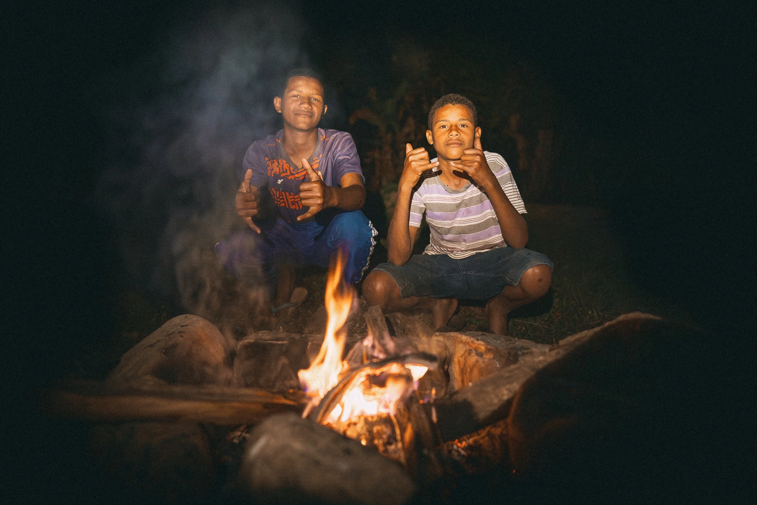
dinner at Sinara’s house. Quartel do Indaiá (July)

Córrego Frio, October

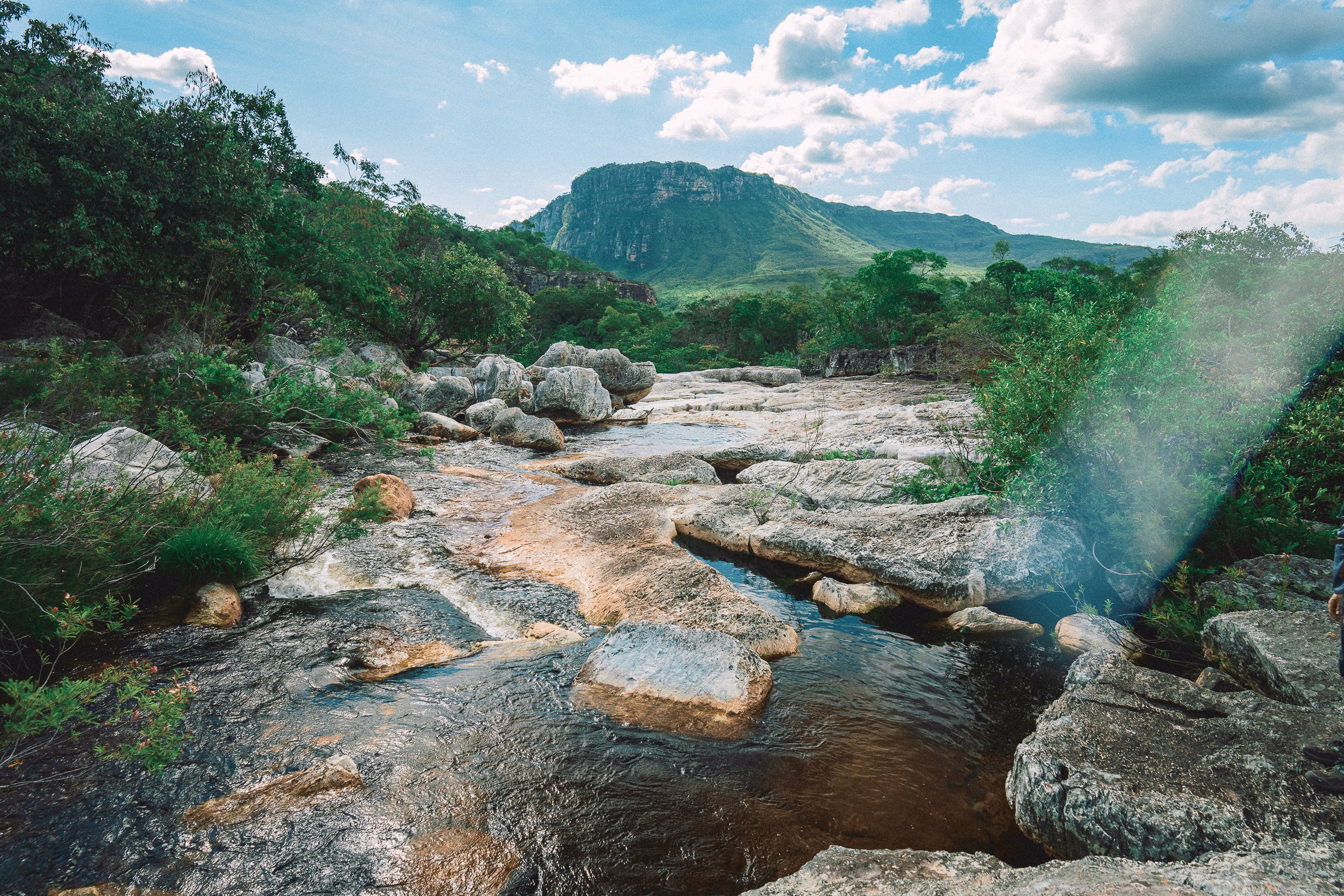
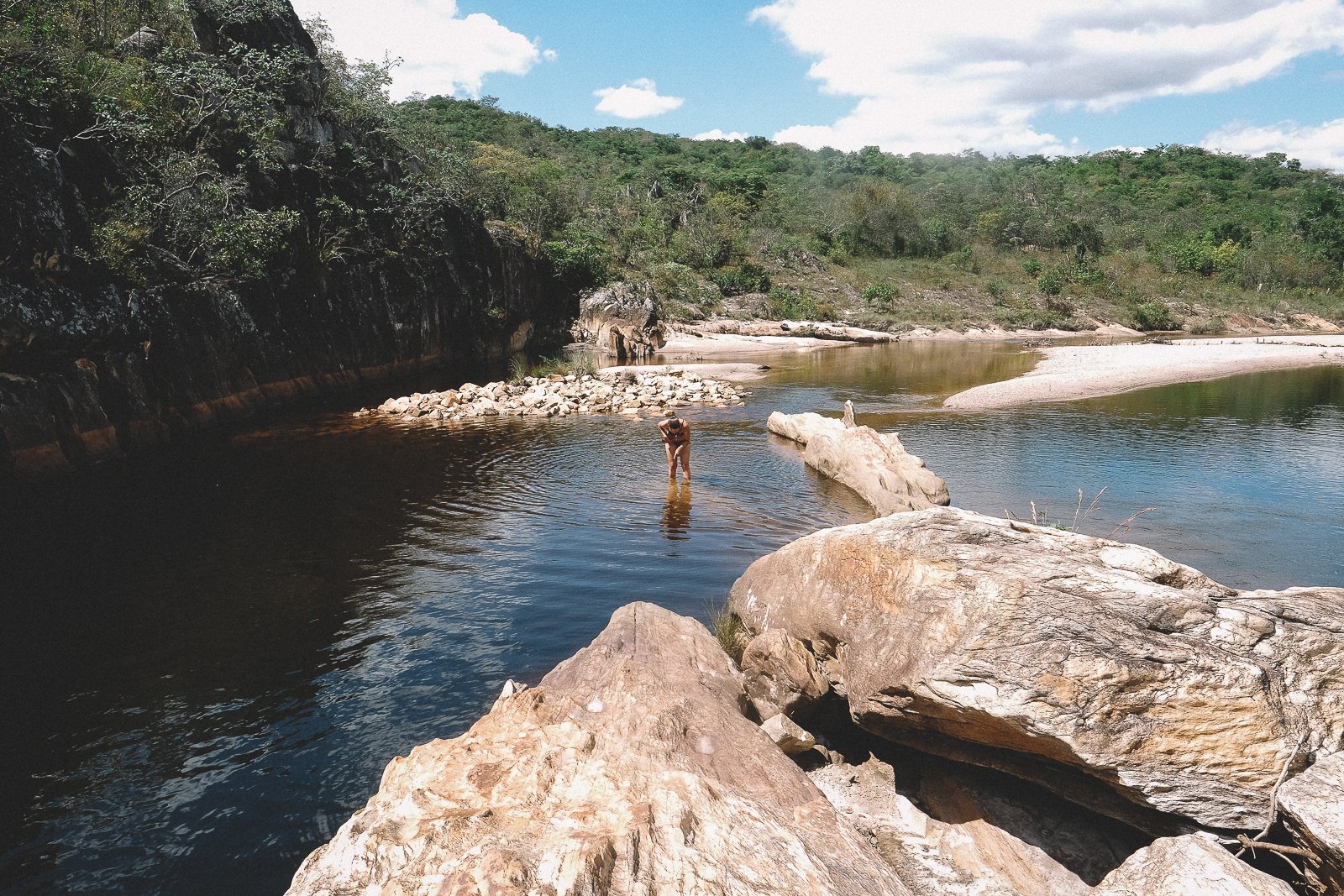
Water Crossing. Vale do Rio Preto (April)

Trail in Biribiri (August)
Trails & Routes
Most of the routes we follow through the Berço date back to the region’s mining past. Old footpaths connect worn waterways with districts that thrived during the diamond era, while mule paths still lead eastward toward Diamantina.
In the northern reaches of the circuit, seasonal flower-picker trails appear and disappear into fields of tall grass. Elsewhere, smaller paths tie rural homes and ranches to quilombola villages, and villages to neighboring communities.
Many of these routes remain part of daily life, used by residents moving between towns, fields, and schools.
The terrain is only consistent along the circuit’s little-used dirt roads. Trails climb and cross windswept high plateaus, drop into densely forested river valleys, and pass through wide stretches of campo—limpo, sujo, and rupestre—each with its own surface and rhythm underfoot.
The most intact paths are those that were built to last. Sections of the Caminho dos Escravos have stood the test of time—large stones laid carefully across steep ground, linking the backcountry to Diamantina for centuries. Elsewhere, remnants of older routes remain, including stretches of a trilha do algodão that once connected the textile centers hundreds of kilometers apart.
In many places, these routes are no longer maintained. They fade and reappear, changing with the terrain, often requiring steady attention. Occasionally they disappear altogether, particularly where the land has been left to grow back.
Travel is less directional in the Berço than in other parts of the Espinhaço. Where Diamantina once guided movement through the region, now most travel stays within it.
At times, history, landscape, and surface feel inseparable.
Caminho dos Escravos (July)
Tropeiro trail (July)
Biribiri trail (July)
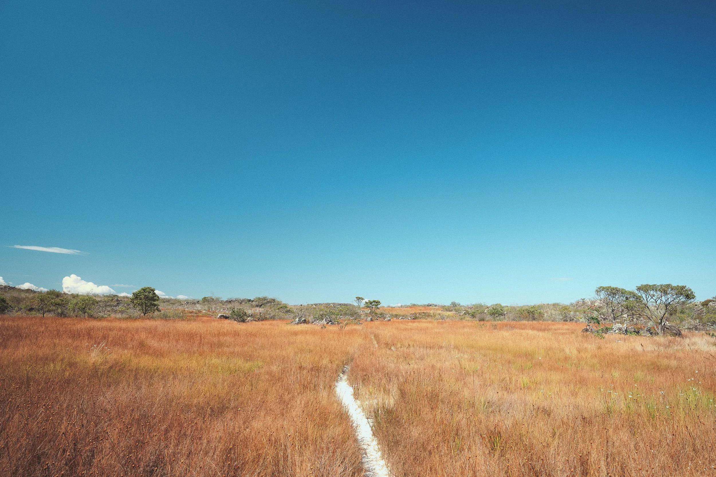
Flower-picker trail (July)
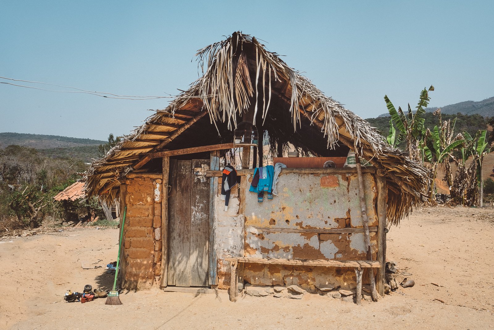
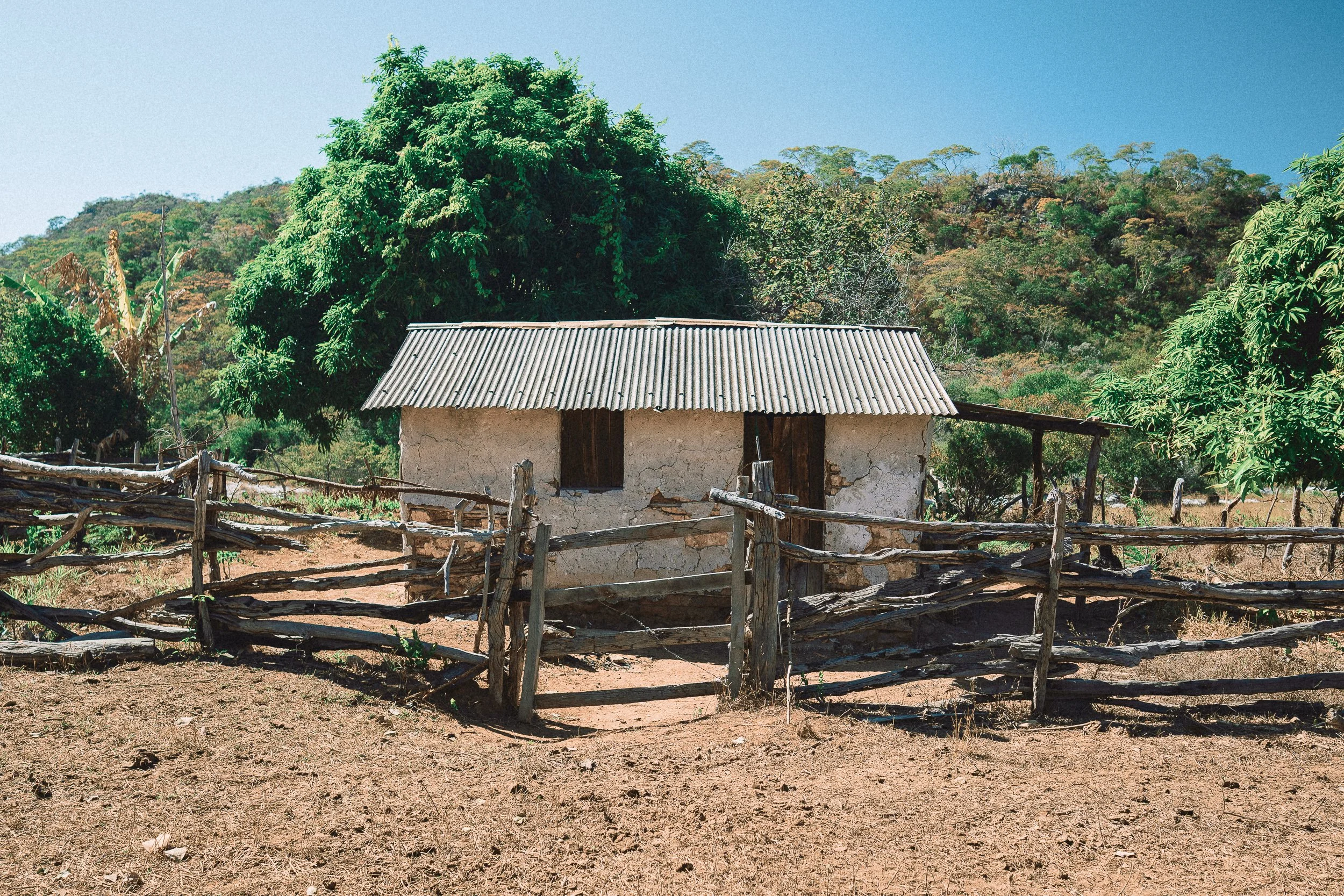
Pau-A-Pique hoUSE, Quarteis do Indaia (September)
Quilombola communities
Quilombola communities are a defining presence in this part of the Espinhaço.
Set deep within the landscape and far from tourism, these villages trace back to formerly enslaved populations who settled in remote areas of the range, often far from the centers of colonial activity. Those in the Berço remain small, rural, and closely tied to the land, shaped by generations of continuity rather than outside influence, with cultural traditions and beliefs that remain present in everyday life, often just beneath the surface.
Life in these communities is simple and direct. Work centers on small-scale agriculture and flower-picking, family, and local exchange, with few formal structures beyond what’s needed day to day. Travel between villages often follows the same paths that connect fields, homes, and neighboring communities.
The time we spend here during crossings is organized, but never staged. Meals are shared in homes, conversations happen where they happen, and the experience is defined by what’s offered.
Few travelers make it this deep into the Espinhaço.
Street Scene, Quartel do Indaiá
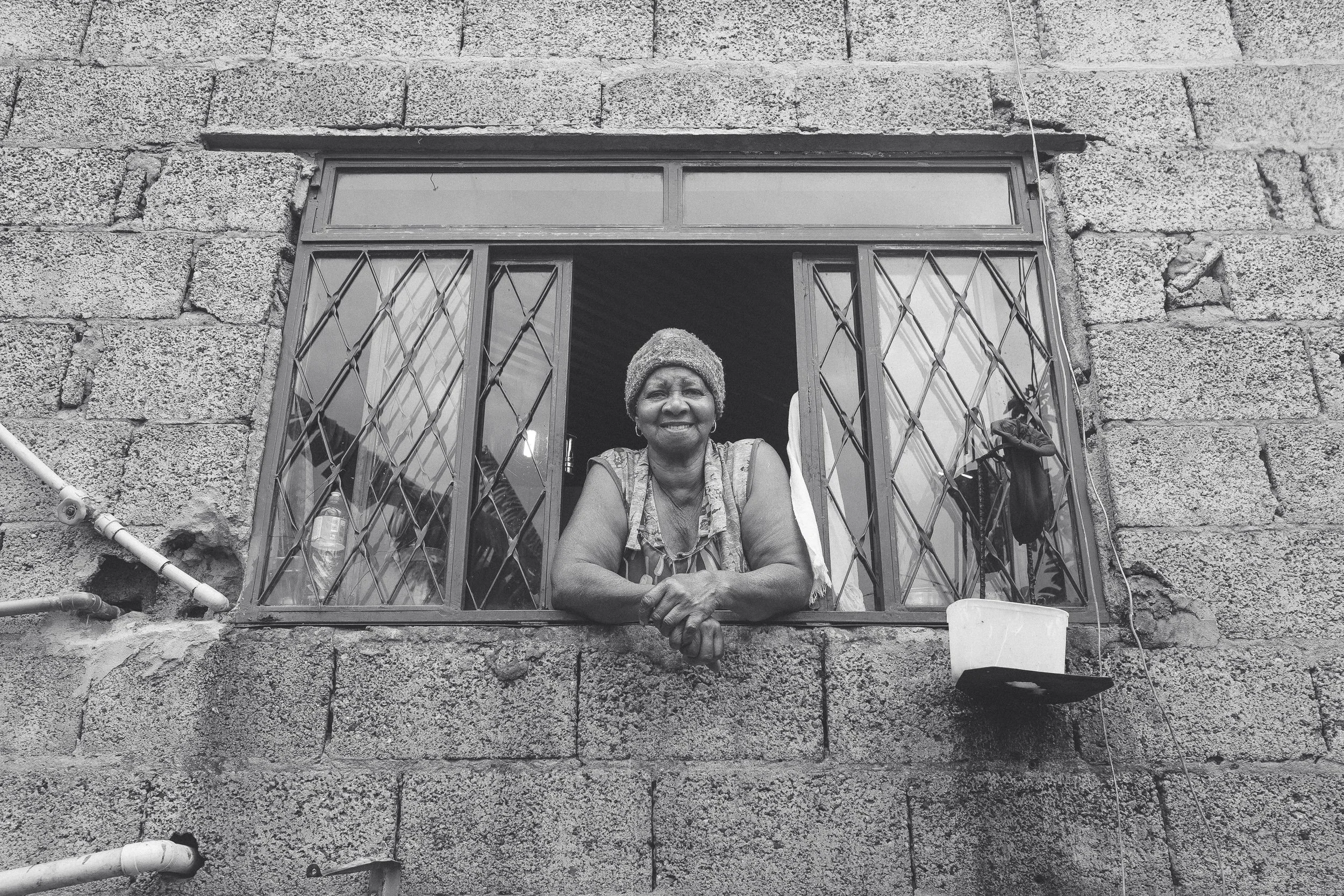
Dona Maria, São João da Chapada
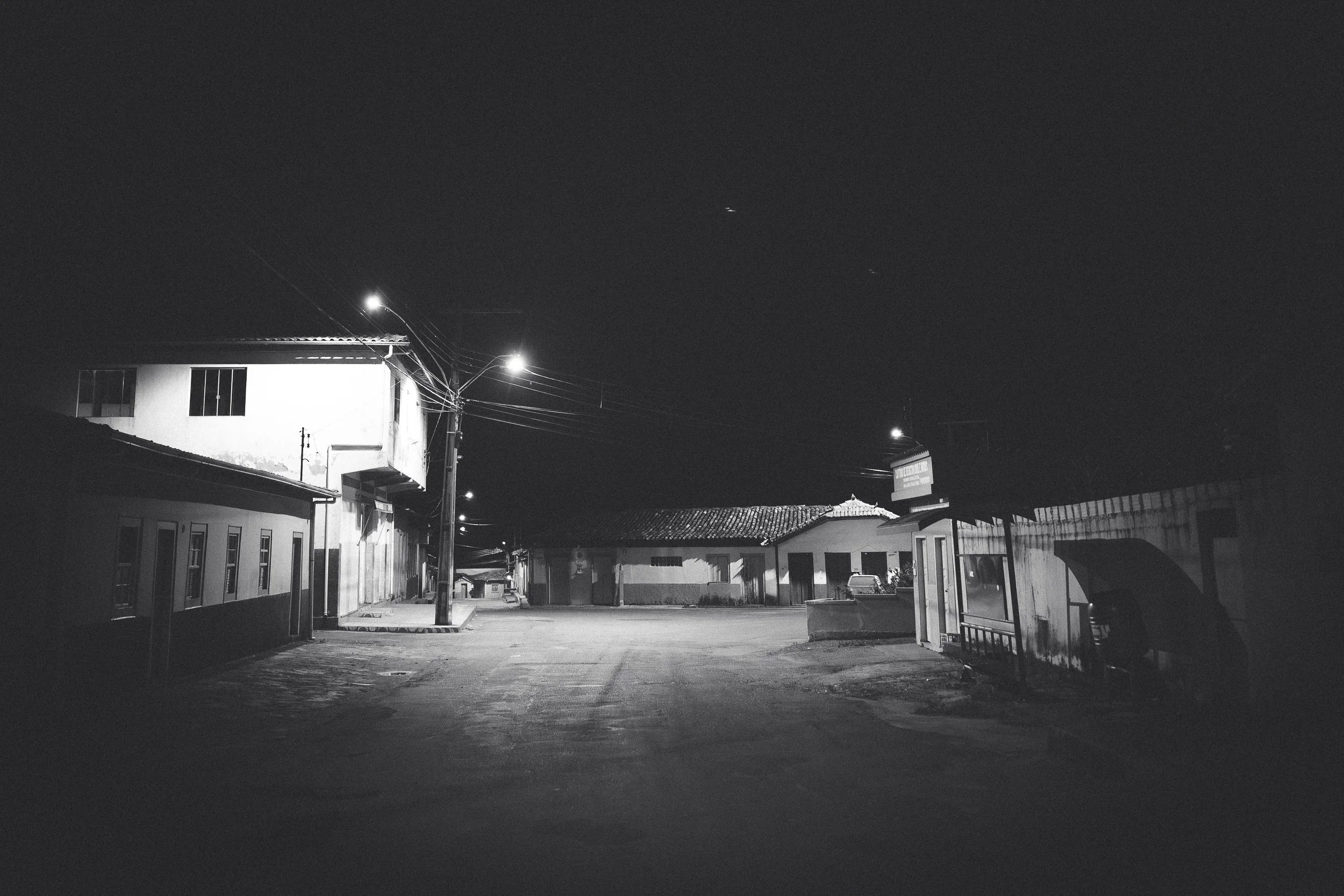
Afterhours, São João da Chapada
Dilsinho e Diego, Quartel do Indaiá
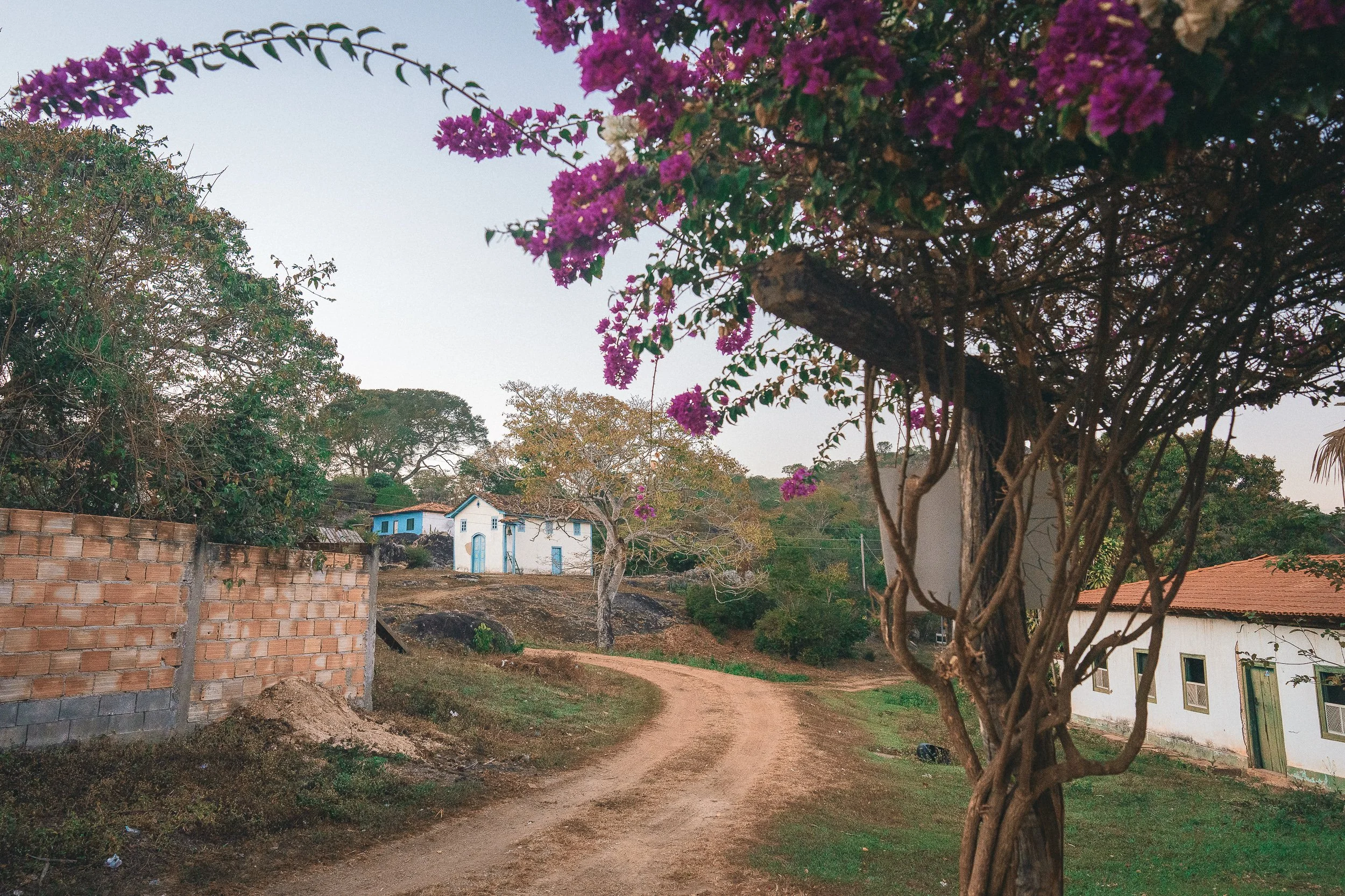
Lavrinha (October)
A Landscape shaped by Extraction
Mining shaped this part of the Espinhaço, and its traces remain visible throughout the Berço.
Rivers, valleys, and plateaus throughout the region were worked intensively during the diamond era, and the landscape still carries the effects. Riverbanks widen into stretches of white sand and gravel, hillsides crumble toward valleys below, and faded footpaths follow lines that once connected the districts.
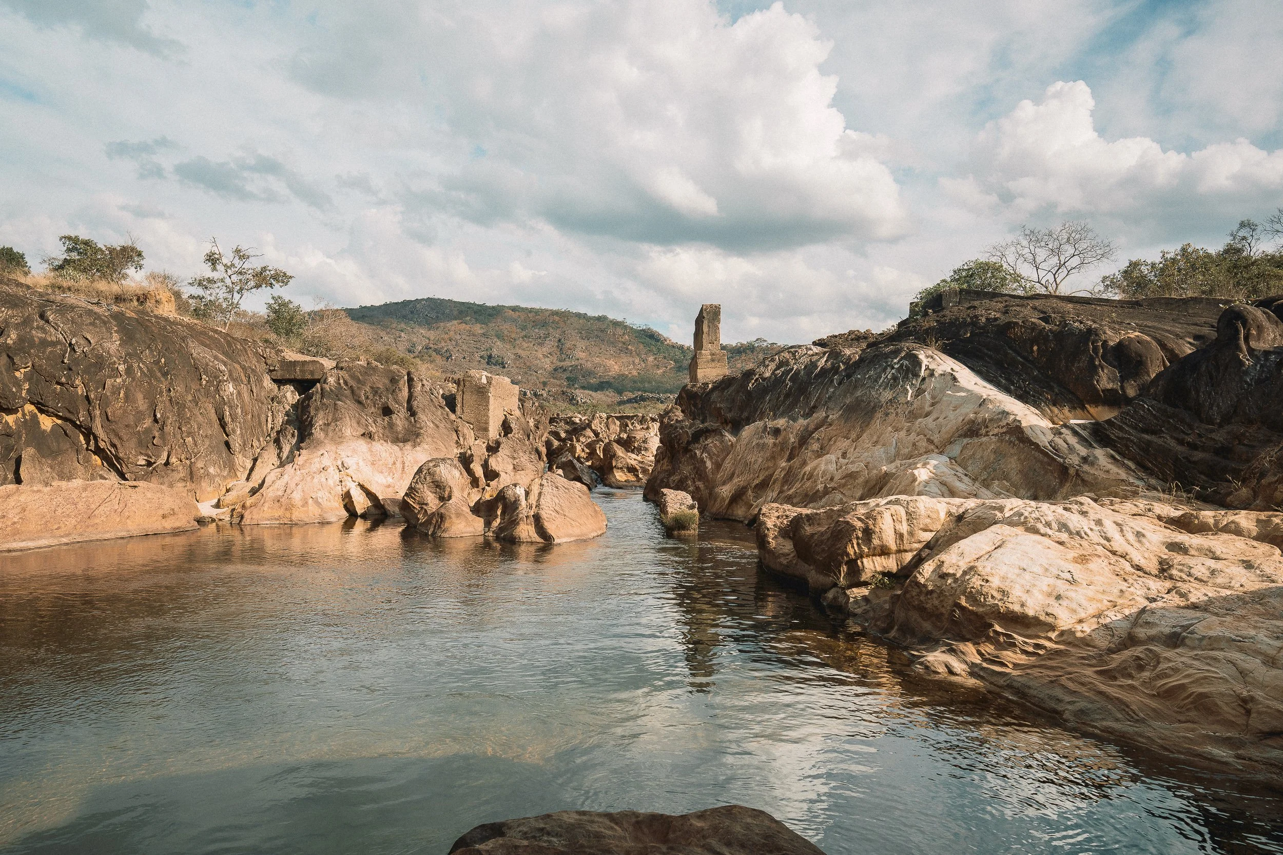
In some parts of the circuit, that history is more clearly preserved. Sections of the Caminho dos Escravos still run from the altered banks of the Jequitinhonha toward Diamantina—hand-placed, cut quartzite paving the steep slopes of the Serra dos Cristais. Nearby, an old stone road still climbs from the river to Córrego Fundo.
Elsewhere, remnants persist in less obvious ways: worn crossings, worked riverbeds, and the faint outlines of paths that once carried people, goods, and labor across the range.
Waterways were central to this activity, and they continue to define the landscape. Along the Rio Pardo and Rio Preto, former mining zones have left behind wide, open banks and slower-moving channels. On higher ground, old quarries have been filled by clear water, forming isolated pools known to few outside the region.
Even within conservation units, traces of extraction remain. In Biribiri, riparian forests have grown back over time, while beaches and waterfalls—the Park’s most visited sites—still bear the marks of earlier use.
At times, it’s difficult to tell where the work ends and the landscape begins. After a while, it stops feeling like a distinction at all.
Jequitinhonha River (July)
Old bridge, Rio Pinheiro (July)

Lagoa Azul (January)
Rio Pinheiro (July)

vale do Rio Preto (April)
The Backcountry
Vast stretches of the Berço are sparsely inhabited.
Between its small villages, the landscape opens into long distances with little sign of settlement. River valleys, high campos, and footpaths that once carried regular movement now sit largely unused. Dirt roads, where they exist, are often poorly maintained.
In other parts of the Espinhaço, country houses owned by residents of Diamantina often dot the landscape. Here, they’re largely absent. The most populated stretch of the Rio Preto valley—a full day crossing on foot or horseback—counts just one full-time resident. The “town” of Rio Pardo has only a handful.
That wasn’t always the case. Many of these routes were once active corridors, with steady foot and horse traffic moving between communities. Today, that movement has largely disappeared, leaving the land to define the region more than the people who remain within it.
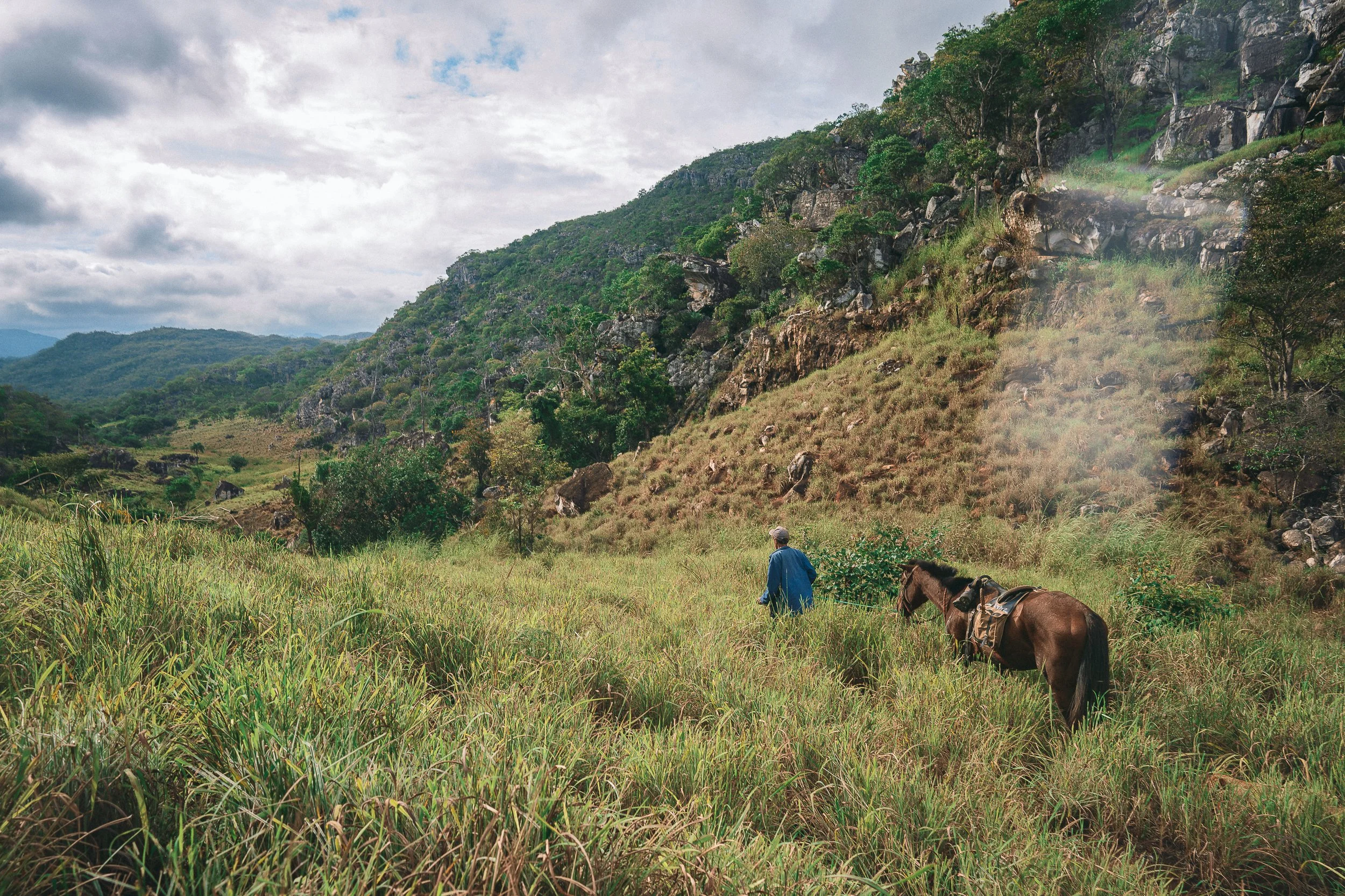
Those who remain live a quieter pattern of life. A small number of residents continue to work the land—farming, raising animals, or picking flowers in season—but the scale is limited, and the distances between them are real. Neighbors often live hours apart. When they do meet, it tends to be unhurried—coffee on the stove, time to sit, and a conversation that runs its course.
Crossings through this part of the Espinhaço are defined as much by what isn’t there as by what is. The ground carries traces of past use, but the sense of movement turns inward.
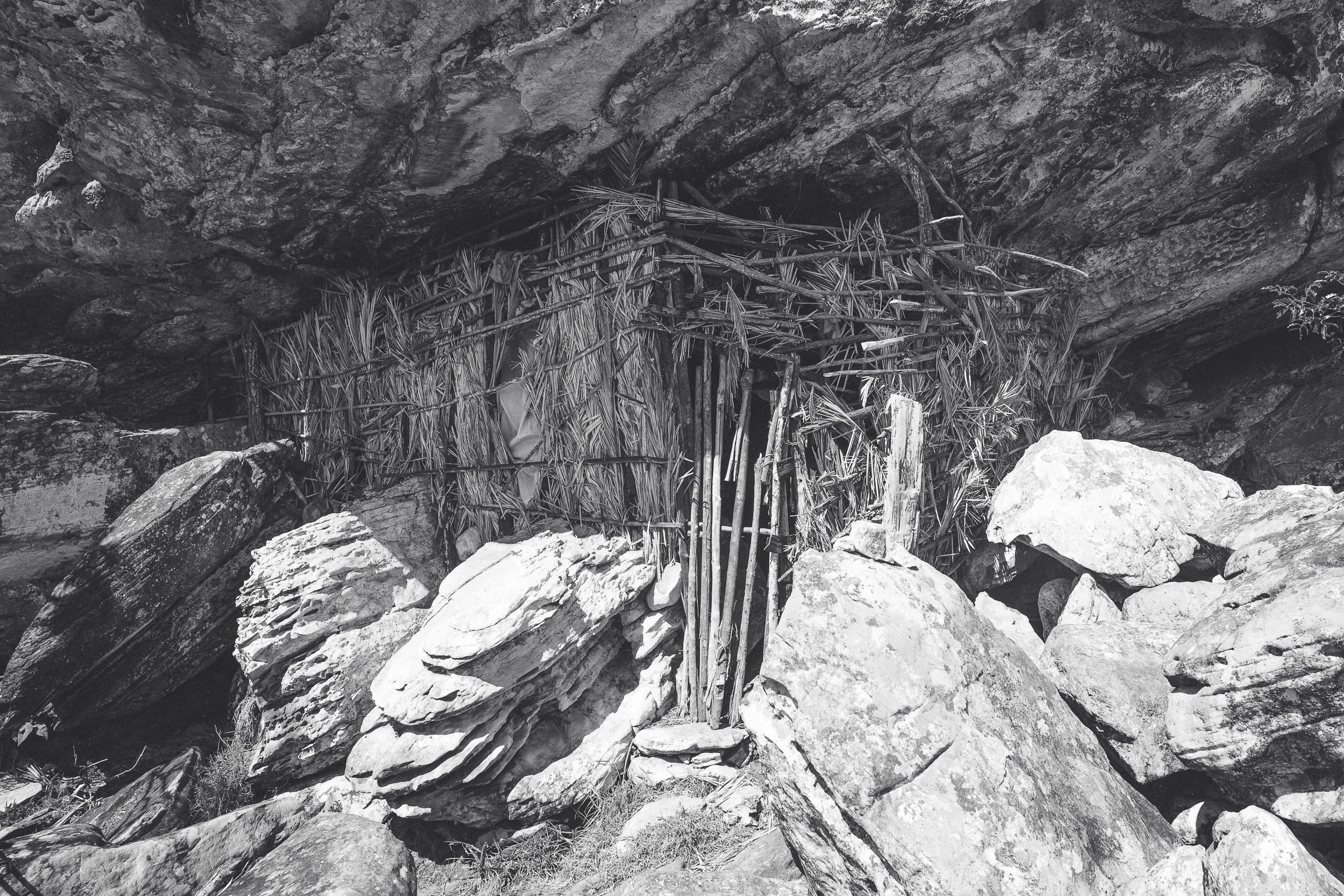
Flower-picker shack (July)

Zekinha (April)
Dorico (April)