Chapter I
The Serra
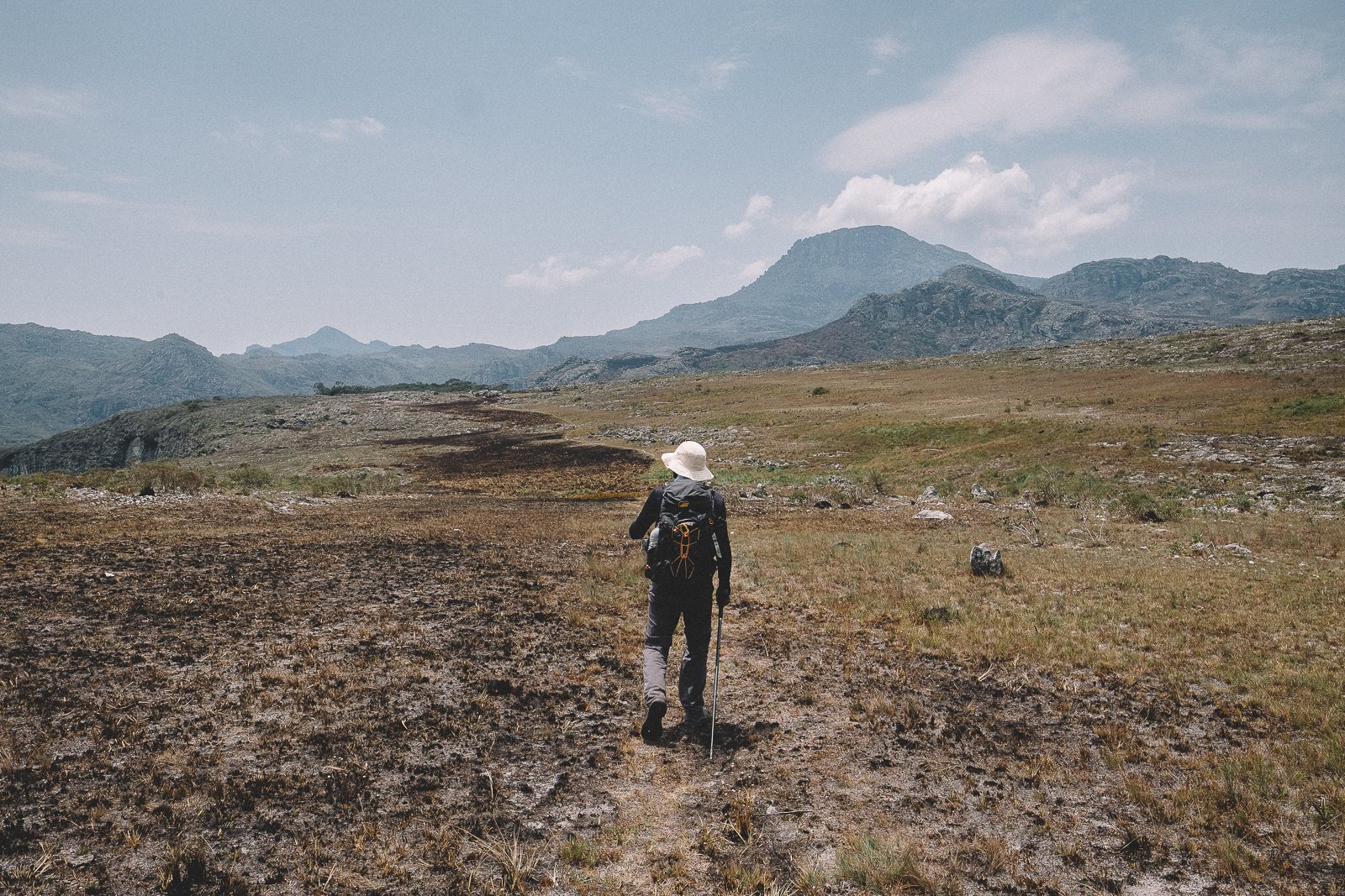
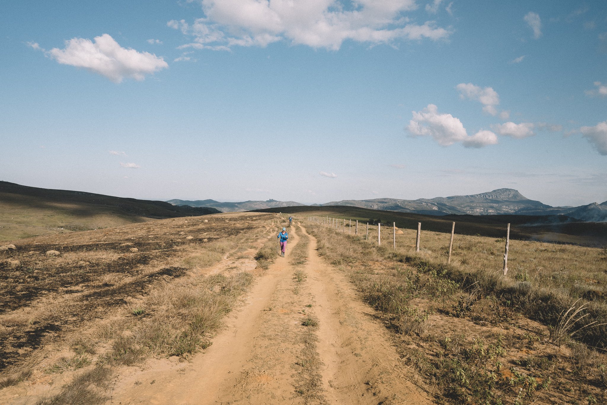
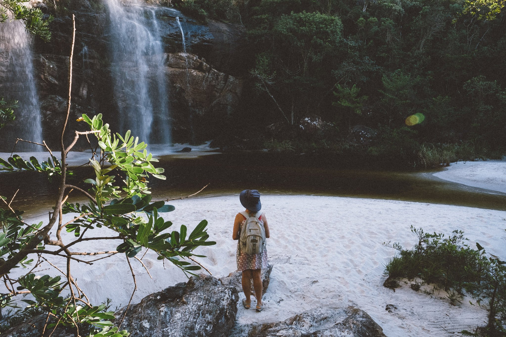
White-sand-beach waterfalls & pristine cola-colored rivers. A labyrinth of lost trails winding across Dr. Seussian-landscapes. Soaring peaks, colonial villages, and a slow-motion carousel of lush mountain vistas.
Welcome to the Serra do Espinhaço.
Chapter I: The Serra
1. BH – Diamantina
2. Diamantina – Curralinho
3. Curralinho – São Gonçalo
4. São Gonçalo – Capivari
5. Capivari – Santo Antônio do Itambé
6. Santo Antônio – Bica d’Agua
7. Bica d’Agua – Chapada do Couto
8. Chapada do Couto – Rio Preto Lodge
9. Rio Preto Lodge (Rest Day)

Day 1
day 1
Belo Horizonte - Diamantina
Welcome to Brazil! Or should we say, bem-vindo ao Brasil!
Each morning at around dawn, a dozen or so enterprising men & women awake in the enchanting, little-visited UNESCO World Heritage City of Diamantina (pop. 49,500), gather passengers & goods from across the city in an assortment of sedans & small SUVs, and make the 4-hour journey to bustling Belo Horizonte (commonly referred to as “BH”, or “bay-ah-GAH”, for short; GMA pop. 6 million), the capital of Minas Gerais. We’ve reserved a handful of these taxis for our round-trip transfers on our Expedition—not only do their modern suspension, steering, and brakes inspire more confidence along the Brazilian asphalt than our vintage, diesel-powered Toyota Bandeirantes,¹ they also provide for a more authentic introduction to the daily grind of Brazilians across the country. It’s truly a privilege and a pleasure to support local micro-businesses during our Expedition, and as you’ll see over the course of the coming 28 days, we make great efforts to do so whenever possible.
Back-tracking to your arrival in BH: unless we’ve agreed to other arrangements, Elisa & I (Eddie) will meet you at our Expedition rendezvous point, the Belo Horizonte/Confins – Tancredo Neves International Airport (CNF; formerly known as Confins International Airport), at noon. We’ll then take the taxis north, stopping for a quick roadside lunch in the scenic town of Cordisburgo,² before beginning our ascent into the beautiful Serra do Espinhaço. Barring any unforeseen delays, we should arrive in the serra just in time to catch the sun setting over iconic Pico do Itambé to our southeast, with Diamantina just an hour or so away from there.
Tonight’s accommodations are at the elegant, historic Reliquias do Tempo pousada in the heart of downtown Diamantina, and we’ll head straight there upon our arrival in the city. Our group will be dining together this evening—the first of many times we’ll do so in the next 4 weeks, and we won’t have too travel too far to meet up: our reservation at Cervejaria Reliquia, the brewpub downstairs, is at 7:30pm, meaning you should have an hour or so to relax, organize your things, enjoy a hot, gas-powered shower (you won’t be seeing too many of those in the coming month), and recover from your long trip.
Both the kitchen & the brews at Reliquia are excellent by Diamantina standards, with a slightly upscale ambience³ to match. With our whole group sitting together for the first time, and hot plates of elevated comida mineira on the way, we’ll take the opportunity to have our final Pre-Expedition meeting. Chapter overviews, route info, trail safety, communications, gear concerns, logistics, and personal intros are on the agenda, as well as any last-second questions you might have.
The mandatory portion of the briefing should last about an hour, although we’ll be happy to hang around afterwards to chat and answer any lingering questions about the days ahead. The rest of the night is yours to enjoy Diamantina, the former diamond-mining capital of the world, and noted weekend party town (alas, it’s Monday). We don’t necessarily recommend painting the town red on the eve of a 28-day Expedition, but… we also don’t not recommend it.
¹ Diesel-powered Toyota Land Cruisers manufactured in Brazil from 1962-2001
² Pop. 8,897. Beloved hometown of one of Brazil’s most celebrated authors, João Guimarães Rosa, and site of the Gruta de Maquiné Grotto, consensus birthplace of Brazilian paleontology. Unfortunately, we won’t have any time to spend in Cordisburgo, as we’ll be racing the setting sun on our way towards the Espinhaço.
³ To us; keep in mind that we bushwhack for a living.
Distance (km): 275 (overland)
Elevation Gain/Loss/Cumulative (m): N/A
UNESCO Sites: 1 (Diamantina Historic Center)
Accommodations: Reliquias do Tempo (Historic Inn; Diamantina)
Inclusions: Transfer (Tancredo Neves International Airport x Diamantina), Lunch, Dinner
Connectivity: Wi-Fi at the airport; sporadic 5G/4G/3G during the roadtrip; 5G/4G/3G throughout Diamantina (although the historic Center tends to be a little worse); good Wi-Fi at Reliquias do Tempo
Praça JK, Diamantina
porções e cerveja, Diamantina
Day 2
day 2
Diamantina - Curralinho
One evening—especially a Monday evening—is far too little time to spend in glorious Diamantina, but don’t worry: we’ll be back on a Saturday four weeks from now. Until then, we have some ground to cover, and it begins today.
This morning, after a Mineiro-style buffet at Reliquias do Tempo and a final, thorough group check of our trail packs & travel duffels, we’ll begin our journey into the Espinhaço backcountry. We won’t get there at once, though. In fact, in many ways, the next two days are more like a stand-alone Introduction to our journey than a canonical part of Chapter I—a pair of arduous, 20+ km treks that weave in & out of the front country around Diamantina en route to colonial villages on the cusp of the backcountry.
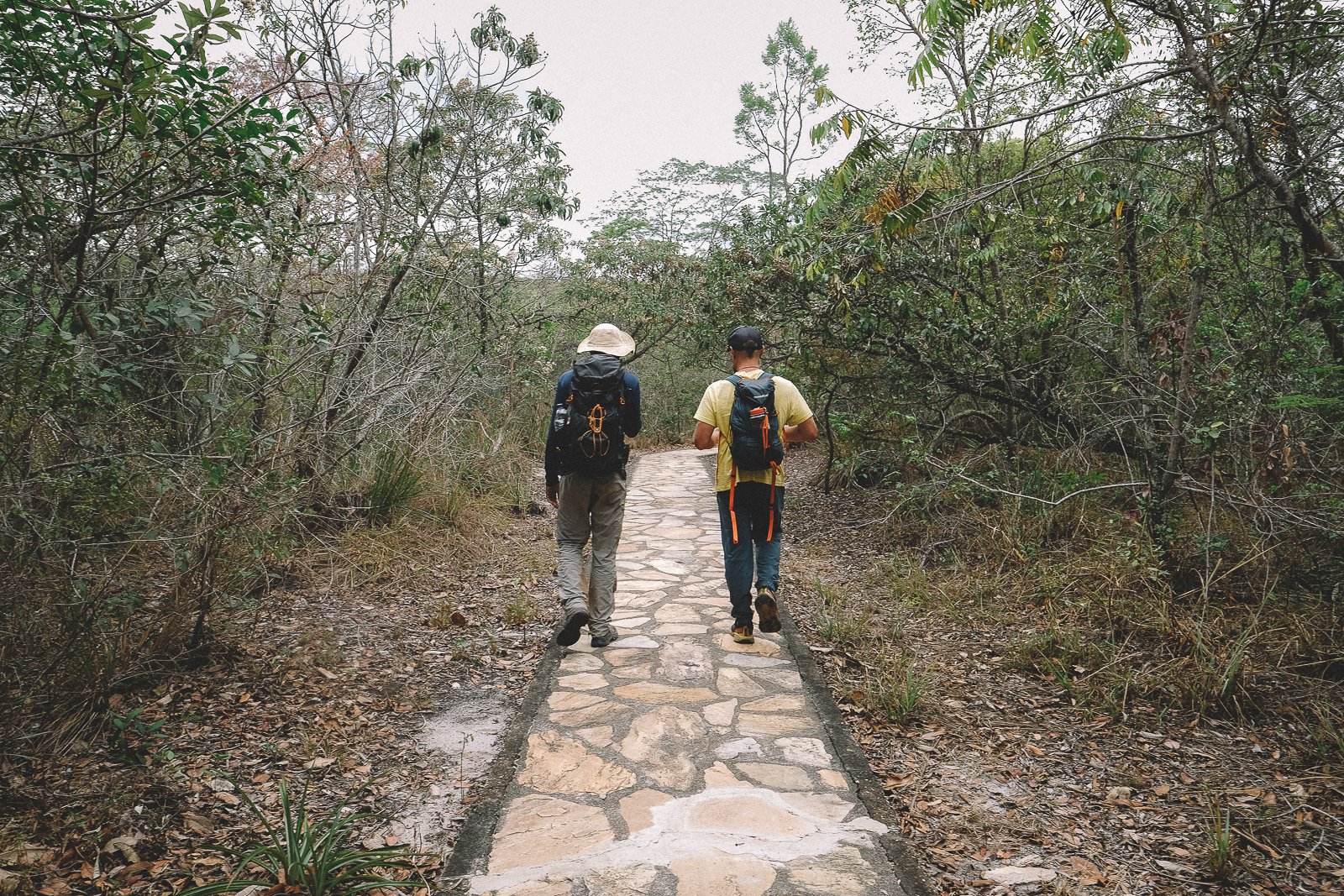
We’ll begin by exiting Diamantina in the most fitting and practical way possible: with a brisk walk through the picturesque historic center to the city’s iconic former slave market, and from there, up a steep & winding ascent along little-used trails to its most iconic lookout, the cruzeiro. After taking a few moments to catch our breath and enjoy the view, we’ll continue to gradually exit the city limits via a labyrinth of urban footpaths, passing between scattered shacks and getting our first up-close glimpses of the Cerrado (Brazilian Savanna) ecosystem in the process.
We’ll spend a good part of our afternoon trekking along the fringes of the backcountry in the direction of the Jequitinhonha River, stopping briefly for lunch and (for those who feel so inclined) a quick dip in the cool waters of the picturesque Cachoeira dos Remedios. After a scenic stretch of ups & downs along meandering dirt roads, we’ll find ourselves crossing through the Estancia do Salitre, a delightfully random resort replete with large exotic animal statues, an indoor water park, and garden gnomes. We won’t be overnighting at the resort, but we’ll gladly pause at its restaurant for a late-afternoon snack & fresh juice (it sounds like a kids meal, but if you’re anything like us on the first day of a trek, you’ll appreciate it), and our patronage of the resort is a nice gesture for allowing us to cross through the property. From the Estancia, it’s just a quick 3-km push uphill along a dusty road to our final destination tonight, the charming village of Curralinho.
The first of many distritos¹ that we’ll be visiting during our Expedition, Curralinho (official pop. 628; actual pop. closer to 200) has a history as colorful as the small colonial dwellings that line its main square. Among the many things the village has been in its 300 years of existence: a key stopover for mule-driving tropeiros making their way across the serra between Diamantina and Rio de Janeiro; a diamond-mining boomtown; and, most recently (and famously), the setting for a growing number of Brazilian novelas.
We’ll have a house to ourselves tonight, a charming historic cottage located just steps from the main square, and 50 m from the best little restaurant in town,² where we’ll be having dinner. Elisangenla serves up sizable portions of classic mineira dishes like rabada (oxtail soup; usually served with rice & beans) and tropeiro (a mash-up of rice, beans, manioc flour, collared greens, fried pork cracklings, and eggs), while her husband, Ozilton, keeps the ice-cold beer flowing. For those who’d like to explore the Curralinho nightlife a bit more, there’s a new pub in town with seating that overlooks the main square, just steps from our house.
We’re not quite in the backcountry yet, but we’re getting there. Diamantina already feels a thousand miles away. Our journey has just begun.
¹ Small rural communities that fall within the jurisdiction of a larger neighboring city—in this case, Diamantina.
² Admittedly, there are just three restaurants in town, but all are good.
Distance (km): 21 (trek)
Elevation Gain/Loss/Cumulative (m): 623/648/1271
Waterfalls: 1 (Cachoeira dos Remedios)
Accommodations: Casa da Elisa (Historic Home; Curralinho)
Inclusions: Breakfast, Lunch (Trail), Snacks (Trail), Dinner
Connectivity: Good Wi-Fi at Reliquias do Tempo; sporadic 5G/4G/3G on the trail; 5G/4G/3G throughout Curralinho; weak Wi-Fi at Casa da Elisa
Elisa’s house, Curralinho
Cachoeira dos Remedios, Near Curralinho

Day 3
day 3
Curralinho - São Gonçalo do Rio das Pedras
On any multi-week Expedition, there are bound to be days that are more challenging, more eventful, more memorable, and, well, more epic than others. In our minds, Day 3 is one of those days. From daunting historic trails to scenic river crossings, hidden hamlets to big mountain vistas, tick-filled forests to celebratory wood-fired meals & ice cold brews, today is one of those days that just seems to have it all¹—a smorgasbord of the best that the Espinhaço has to offer adventurers, and a taste of what’s to come later in Chapter I.
Today is also a bit of a test for us in terms of trail fitness: over the course of 22 km, we’ll ascend & descend nearly 2 vertical km of little-used trails and slick escarpments. If you don’t break much of a sweat today, you’re in outstanding physical condition, and the next 26 days should be a walk in the park. On the other hand, if you find yourself huffing, puffing, (itching, scratching, etc.) and wondering why you flew halfway across the world to experience this… well, you’re normal, and you’d do well to consider today just another training day en route to physical perfection.
We’ll kick the day off with an Espinhaço-style breakfast at the longest-standing eatery in town, the humble home of Dona Preta & Sr. Toco. Here, a welcoming spread of cakes, quitandas (small handmade biscuits), biscoitões (puffy, cracker-like tapioca cookies), fruits, juice, café, and other Brazilian breakfast staples await, as does eager conversation about our journey. Following breakfast, we’ll exit town in the direction of São Gonçalo do Rio das Pedras via the aptly-named Linguiça (literally, the Sausage), a notoriously steep tunnel of cracked red earth leading to the Córrego do Inferno.² A major thoroughfare for hearty mule-drivers as recently as the late 20th century, and a prime route for clandestine miners to this day, the Linguiça is remembered by all who’ve done it, and loved by none.
The rest of our afternoon will be spent hot on the trail of a pair of celebrated 19th-century European naturalists, Augustin Saint-Hilaire & Sir Richard Francis Burton, whose respective travels through this part of the country are the thing of legend. We’ll tackle brutal ascents, cross flower-strewn streams, descend rocky escarpments, and meander through fields of campo sujo and forests of mata seca & mata de galeria—just a few of the many manifestations of Cerrado vegetation that we’ll witness during our Expedition. We’ll pause briefly for a trail lunch along the banks of a stream in the little-visited, bucolic community of Capão Maravilha (literally, Marvelous Grove; pop. < 20), whose quaint main square at the foot of Maravilha mountain once served as the paradisiacal setting for a popular novela.
If our pace is good throughout the afternoon, we’ll arrive at the golden banks of the storied Jequitinonha River before sundown. After fording the river (usually just knee-high during this time of year) and powering through one final muggy steep ascent, we’ll pop out onto a breezy, little-traveled dirt road. From here, it’s just 7 moonlit km to tonight’s destination, the enchanting colonial town of São Gonçalo do Rio das Pedras.
There is a kind of magic in the air in São Gonçalo (pop. 1,479). The town is rustic, yet elegant; simple, yet mysterious; with a tranquility that lends itself to restful healing and a vibrance that beckons further exploration. It’s a real charmer, and one of the only bastions of regional tourism in the Espinhaço. We’ll head straight for the Bar do Pescoço, our favorite pub in town, where we’ll have access to an all-you-can-eat, wood-fired feast of piping hot comida Mineira and ice-cold cerveja. Our accommodations tonight at the gorgeous, tucked-away Pousada do Capão, just a few hundred meters walk from the pub, couldn’t be more perfect.
It’s a storybook ending for a storybook day. You may arrive exhausted, but if you’re anything like us, you’ll rarely have felt so alive.
¹ Except for waterfalls; but let’s not get too greedy.
² Literally, Hell’s Creek; see what we mean about today being epic?
³ A dead-ringer for Pão de Açucar in Rio de Janeiro, but with a million less visitors per year
Distance (km): 22 (trek)
Elevation Gain/Loss/Cumulative (m): 931/1018/1949
Water Crossings: 3
Conservation Units: 1 (Aguas Vertentes Environmental Protection Area)
Accommodations: Pousada do Capão (Inn; São Gonçalo do Rio das Pedras)
Inclusions: Breakfast, Lunch (Trail), Snacks (Trail), Dinner
Connectivity: Weak Wi-Fi at Casa da Elisa; 5G/4G/3G in Curralinho; little-to-no signal on the trail; 5G/4G/3G in São Gonçalo do Rio das Pedras; weak (but manageable) Wi-Fi at Pousada do Capão
Pousada do Capão, São Gonçalo do Rio das Pedras
Crossing the Jequitinonha, near angu duru

Day 4
day 4
São Gonçalo do Rio das Pedras - Capivari
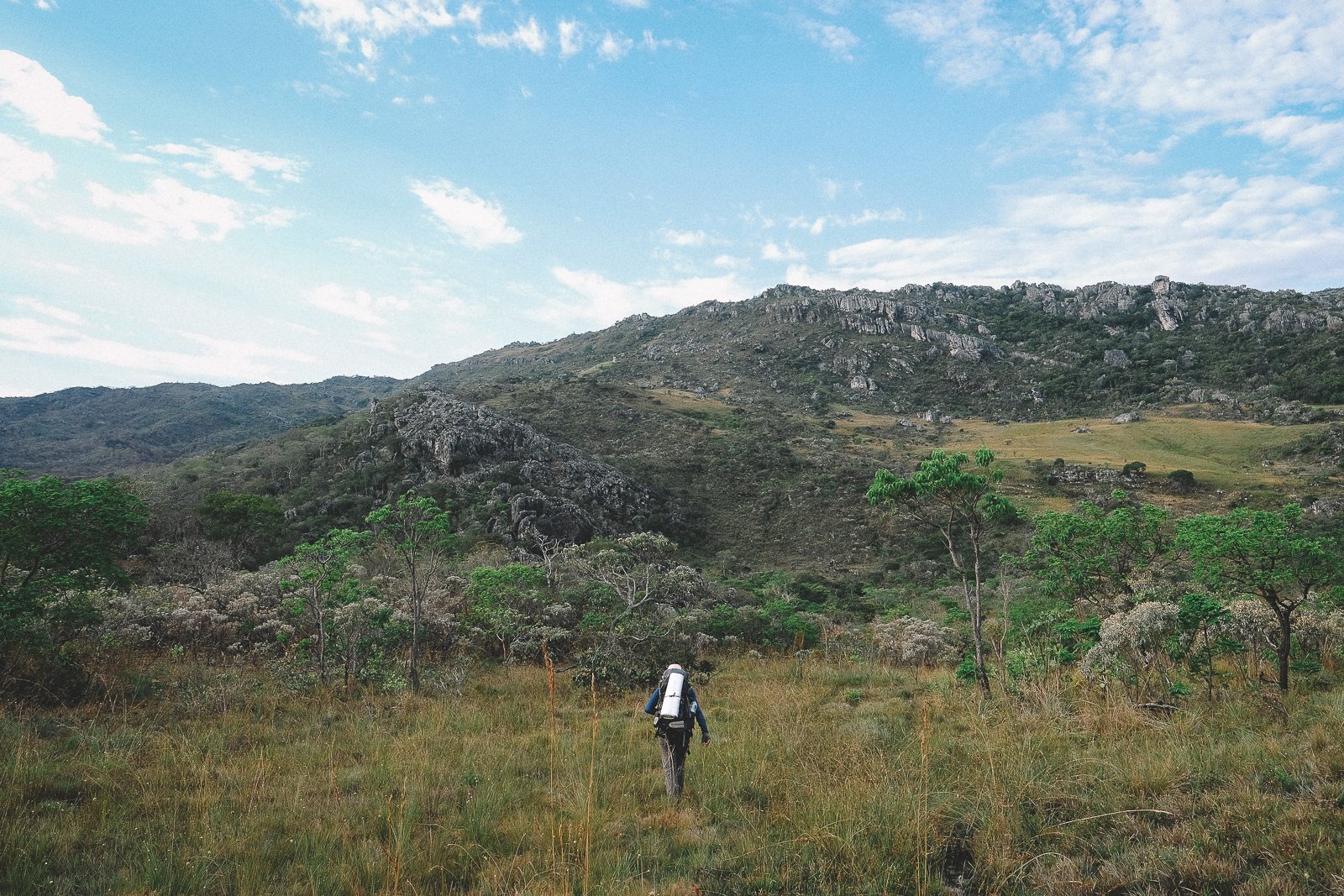
As profoundly satisfying as Day 3 was, a body can only enjoy so many epic days in a row. Fortunately, today is the yin to Day 3’s yang: a short (14 - 16 km) day of well-traveled trails and moderate ups & downs, with no significant water crossings and plenty of serene swimming holes, open landscapes, and big mountain views.
As we venture further into the backcountry, it’s worth remembering that roads—the vast majority of which remain unpaved—are still a relatively recent development in much of the Espinhaço. Case in point: many of the residents in our destination tonight, the picturesque quilombo of Capivari, spent decades walking the region: to school, to the market, to visit family in nearby communities. Most often, their destination was São Gonçalo do Rio das Pedras, and most often, they walked the same gorgeous stretch of trail that we’ll be walking today.
We’ll start the day with one of our favorite breakfasts in the region: the simple, elegant buffet at the Pousada do Capão. Each morning, Madalena awakes at 5:30am to prepare a variety of homemade breads, cakes, granolas, and intricately hand-woven quitandas for guests at Capão, to be served alongside yogurt (also homemade) and farm-fresh eggs, cheese, milk, fruits, and coffee. Today, as a special treat for our group, “Mada” will also be preparing the trail lunches & snacks for our trek to her father’s hometown of Capivari.
We’ll pass a pair of waterfalls, Rapadura & Grota Seca, shortly after setting out along the old dirt road from São Gonçalo. The falls aren’t dramatic, but the scenery is blissfully serene—it’s easy to see why generations of locals have preferred these falls to others in the area.¹ It’s all beautiful, historic trail within the Serra do Raio Natural State Monument from here until the next watering hole, a glorious cascade/white-sand beach combo affectionately known as Retirinho (Little Getaway), where we’ll stop for lunch & some downtime.
Guests wanting to make the trek to the top of Pico do Raio (1.9 km; 153/151/304 m round-trip) will split up from the main group prior to stopping at Retirinho, and will be in for a treat—when the conditions are right, the view of Itambé & the surrounding villages of São Gonçalo, Capivarí, and Milho Verde is one of the best in this part of the Espinhaço—but at the expense of lounge-time at Retirinho (we’ll have lunch on the peak to avoid a long night hike).
Capivarí is often credited with being the first quilombo to practice community tourism in Brazil, so it’s fitting that our first homestay of the Expedition will be here, at Noêmia & Gonçalo’s cozy, centrally-located home. Gonçalo spent decades working at the Itambe State Park, and is a welcome source of information about the upcoming trail conditions, as well as good company. Noêmia is a great cook, and if the whole family² is in town when we arrive, the dining table can fill up.
The past two days have provided us with a wonderful introduction to rural Brazil, but today marks the beginning of a particularly spectacular stretch of our Expedition. If you asked us to draw up the perfect stretch of trail, it would look a lot like the next five days: a visual, cultural, and historic portrait of the southeastern Espinhaço backcountry & its inhabitants.
¹ There are at least a dozen named waterfalls within 10 km.
² Three grown children, a handful of grandkids, and more than a few neighbors who may or may not be relatives.
Distance (km): 13.8 (trek); 15.7 (trek) with Pico do Raio
Elevation Gain/Loss/Cumulative (m): 446/359/805; 599/510/1109 with Pico do Raio
Waterfalls: 2 (Rapadura, Grota Seca) + 1 optional (Retirinho)
Peaks: 1 (Pico do Raio; optional)
Conservation Units: 2 (Aguas Vertentes Environmental Protection Area, Varzea do Lajeado e da Serra do Raio State Natural Monument)
Accommodations: Casa da Noêmia (Homestay; Capivari)
Inclusions: Breakfast, Lunch (Trail), Snacks (Trail), Dinner
Connectivity: Weak Wi-Fi at Pousada do Capão; 5G/4G/3G in São Gonçalo; sporadic signal on the trail; no signal in Capivari; weak Wi-Fi at Casa da Noêmia
Grota seca, São Gonçalo do Rio das Pedras
Trail to Capivari (with Itambé in the distance)
Day 5
day 5
Capivari - Santo Antônio do Itambé
Slaves, smugglers, miners, hunters, ranchers, flower-pickers, and (more recently) Park personnel have all had in a hand in constructing the Espinhaço’s impressive network of backcountry trails over the centuries, but it’s unlikely that any group has contributed as much as the tropeiros—animal drovers who, in the time before trains, trucks, and Amazon drivers, were responsible for the daily deliveries of essential goods across rural Brazil.
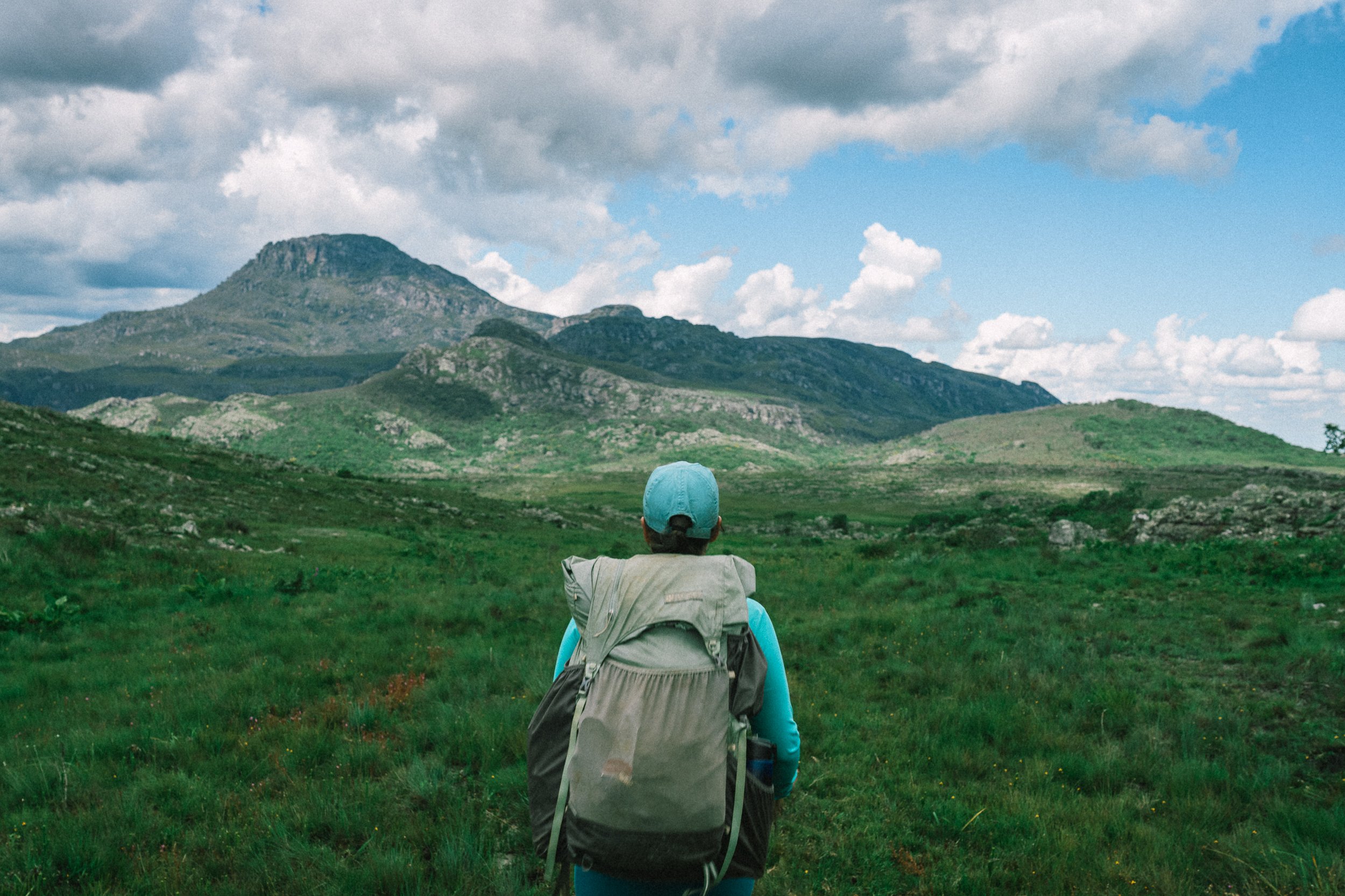
The origins of the trail we’ll be trekking today, the Trilha dos Tropeiros, hearkens back to a time when mule-drivers criss-crossed the fertile trading grounds between Diamantina and the agricultural lowlands to the east, hawking everything from sugar cane & cachaça, to dry goods, cheese, and even slaves. It’s one of the most dynamic and visually arresting stretches of trail in the region, with constant, unbeatable views of Itambé, and a pronounced transition between the Cerrado and Mata Atlântica (Atlantic Rainforest) biomes. Add in the fact that it’s relatively short (18 km), comes with a waterfall (the very scenic Cachoeira da Fumaça; just a few km from the end of the trail), and leads to a highly pleasant/little-visited town (Santo Antônio do Itambé), and you can see why it’s one of our favorite days on the Expedition.
“Santo Antônio” (pop. 3,799) is not the kind of town to “wow” visitors, but its charms, while subtle, are real; its quirkiness endearing; and there isn’t a hint of pretension to be found anywhere in town. We’ll be staying in the sleepy historic center at the no-frills, family-run Pé da Serra Hotel. Clean, friendly, and conveniently-located, you may eventually remember (or not remember) it for being the only “regular Brazilian hotel” you stay in during your time in the country, and that in itself struck us as an unmissable experience.
Speaking of unmissable, there is a remarkably not regular pub in town a just few blocks down the road from the Pé da Serra that borderlines on bizarre. You didn’t hear it from us, but if you’d like the extra challenge of waking up a bit disheveled before the hardest trek of the trip thus far, it might be worth a visit after tonight’s all-you-can-eat dinner at Sonia’s homestyle restaurant across the street from the hotel.
Distance (km): 18 (trek)
Elevation Gain/Loss/Cumulative (m): 504/976/1480
Waterfalls: 1 (Cachoeira da Fumaça)
Conservation Units: 2 (Aguas Vertentes Environmental Protection Area, Itambé State Park)
Accommodations: Hotel Pé da Serra (Hotel; Santo Antônio do Itambé)
Inclusions: Breakfast, Lunch (Trail), Snacks (Trail), Dinner
Connectivity: Weak Wi-Fi at Noêmia’s Home in Capivarí; 5G/4G/3G in Santo Antonio do Itambé; serviceable Wi-Fi at Hotel Pé da Serra
Cachoeira da Fumaça, Santo Antônio do Itambé
Campo, Santo Antônio do Itambé

Day 6
day 6
Santo Antônio do Itambé - Bica d’Agua
Remember how on Day 3 we talked about how some Expedition days are inevitably more epic than others? Today is another of those days. In fact, we’ve been building towards this morning ever since we left Diamantina on Day 2. It’s time to summit Itambé.
The western (Capivari-facing) side of the mountain is the quicker, more popular approach, but it is also, in our opinion, a less joyful one. At the end of the day, there’s no pain-free way to rapidly gain nearly one mile of elevation on foot with packs on, but approaching the summit from the east comes with the benefits of an ever-changing landscape during our ascent and a golden hour view during our descent. Spoiler alert: you’re going to be tired when you reach the top,¹ but it’s going to be worth it—not only for the sensation of having climbed the tallest peak in the Serra do Espinhaço Meridional,¹ but for the unparalleled views of the range around us and the route we’ve spent the past 5 days trekking.
As it were, we’ll still need to climb down and make a substantial trek to our destination this evening, so depending on how long it took us to climb up, our recovery time at the bottom will vary. While the folks at the Park are typically lenient with us about how long we’re allowed to linger on top,² we’re the loucos who’ll actually be trekking to a destination beyond the parking lot tonight.
The rocky slope makes for a thrilling descent, but may leave you a little weak in the knees. We’ll take a bit of time to recover & replenish our water, then it’s headlamp time: we’ve still got a wild 7-km journey to Santo’s house ahead of us, and it’s as guaranteed an adventure as there is on our Expedition. Good news: Dona Maria’s food is famous around these parts (which says a lot considering how remote their home is), Santo almost certainly has a barrel or two of local cachaça on hand, and tomorrow we’ll have a pack mule & steed at your disposal if you’d like to take the day off.
If not, there’s another peak beckoning to be bagged…
¹ We all will be.
² Technically, all non-overnight visitors are required to begin their descent by 2pm.
Distance (km): 23 (Trekking)
Elevation Gain/Loss/Cumulative (m): 1488/1118/2606
Peaks: 1 (Pico do Itambé)
Conservation Units: 2 (Aguas Vertentes Environmental Protection Area, Itambé State Park)
Accommodations: Casa do Santo e Dona Maria (Homestay; Bica d’Agua)
Inclusions: Breakfast, Lunch (Trail), Snacks (Trail), Dinner
Connectivity: Serviceable Wi-Fi at Hotel Pé da Serra; 5G/4G/3G & Wi-Fi (not always reliable) on Pico do Itambé; no signal or Wi-Fi at Casa do Santo e Dona Maria
Pico do Itambé, Itambé State Park
Santo’s House, Bica d’Agua
Day 7
day 7
Bica d’Agua - Casa do Mozart
There’s a saying in the Espinhaço that the striking, hauntingly beautiful Indaia palm tree (Attalea speciosa) only grows in places where former slaves ran away, and in our experience, this appears to be true.¹ We’ll have the immense privilege of awaking in one such place this morning: the idyllic, sparsely populated Mata dos Crioulos region, which includes the tiny community of Bica d’Agua.
Located at the confluence of no less than 6 administrative districts and 3 conservation units, as well as the headwaters of two nationally-important rivers,² Mata dos Crioulos occupies an undeniably unique piece of real estate, and a visually stunning one at that. It’s fascinating to think that, just a generation ago, this sprawling region used to bustle with human activity—fathers tending to cattle & tilling the land, mothers tending to children & working the wood-fired stove, children coming & going from the school in nearby Covão (“just” 15 km away). As it were, the creation of so many adjacent conservation units—and, perhaps more to the point, the failure to successfully integrate local residents into the resultant tourism economy—in the past two decades has stifled economic activity in the region, contributing to mass migration to Diamantina & beyond. Today, in a resplendent region of green hills & valleys many times the size of Diamantina, Santo & Dona Maria are the lone practitioners of tourism.
We’ll have plenty of time to reflect on these things on the trail. But first, an early morning café—even after a grueling day like yesterday, it can be difficult to sleep in late with roosters crowing outside the bedroom door. Santo & Dona Maria tend to eat light, if at all, in the mornings, so we’ll improvise something hearty using the ingredients on hand. After at least a couple of hours (depending on what time you awake) to enjoy the serene cascades & mountain views that surround the house, we’ll gather our things & saddle up.
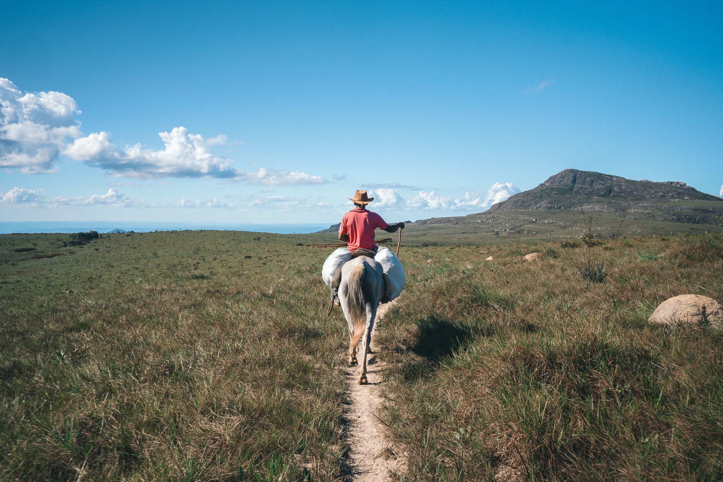
We have 23 km of mostly gradual uphill in front of us today, with an additional (optional) 8 km ascent & descent, and you have a pretty great decision to make: you can either ride on a sturdy grade horse (no riding experience necessary) or you can hoof it yourself. If you opt for the steed, you’re in good hands: aside from being a skilled carpenter, master bushcraftsman, and pioneering tourism entrepreneur, Santo spent his youth working as a tropeiro alongside his father, and is consequently quite the horseman. If you decide to trek, you can still make use of the pack mules on hand to shed the weight of your trail pack. Santo, on foot,³ will guide any riders & the mule.
For those feeling up to the challenge of summiting a 2nd peak in 36 hours, we’ll begin our approach of Pico Dois (literally, Two Brothers Peak; 1,825 m) towards the end of the afternoon. For those who are (rightfully) weary of another epic vertical adventure, rest assured that unlike yesterday’s marathon climb, Dois Irmãos is 90% gradual approach, followed by a shockingly quick summit. The panoramic sunset is out of this world, and locating Mozart’s House—the tiny historic mountain refuge where we’ll be staying this evening—amidst the surreal cerrado nightscape is the kind of adventure that makes your soul feel alive.
Santo may not be quite the cook that Dona Maria is, but after 54 km and 4,500 meters of ups & downs in 36 hours, we’d give his authentic tropeiro-style camp grub a Michelin star.
¹ Although, given the tree’s proliferation in other parts of the Cerrado, it doesn’t appear to be true outside of the Espinhaço.
² The districts of Diamantina, Couto Magalhães de Minas, Serro, Santo Antônio do Itambé, São Gonçalo do Rio Preto, and Serra Azul de Minas; the conservation units of Itambé State Park, Rio Preto State Parks, and the Aguas Vertentes Environmental Protection Area; the headwaters of the Jequitinhonha & Doce Rivers
³ If you see the man break a sweat, please photograph it so we have proof that he’s human.
Distance (km): 22.5 (trek)
Elevation Gain/Loss/Cumulative (m): 845/569/1404
Peaks: 1 (Pico Dois Irmões; Optional)
Conservation Units: 2 (Aguas Vertentes Environmental Protection Area, Rio Preto State Park)
Accommodations: Casa do Mozart (Historic Mountain Refuge; Rio Preto State Park)
Inclusions: Horse (Optional), Pack Mule (Optional), Breakfast, Lunch (Trail), Snacks (Trail), Dinner
Connectivity: No signal or Wi-Fi at Santo’s house; sporadic 5G/4G/3G on the trail; no signal or Wi-Fi at Casa do Mozart
The Long Ascent, Chapada do couto
Santo’s Trope, mata dos crioulos
Day 8
day 8
Casa do Mozart - Parque Estadual do Rio Preto Lodge
It’s odd to think that the remote, rocky wonderland we find ourselves in this morning was once a bustling crossroads for tropeiros, miners, flower-pickers, and the occasional fugitive, but it was, and for the better part of the century preceding its annexation to Rio Preto State Park, it all belonged to one man. Hardened, distrusting, and, by all accounts, a colorful character, “Mozart” Xavier de Senna nonetheless had a soft spot for weary travelers, to the point that the Chapada do Couto plateau became known as the “Chapada do Mozart”, and his home, the “Casa do Mozart”, became synonymous with refuge.
A man of the people, Mozart was said to be vehemently against the idea of his ranch becoming government-owned land, but shortly after his death in 1999, it was officially integrated into the then-nascent Rio Preto State Park. The wishes of a dying man aside, it seems cosmically correct that his home is now officially a mountain refuge for weary travelers seeking shelter in the little-visited southern reaches of the Chapada.
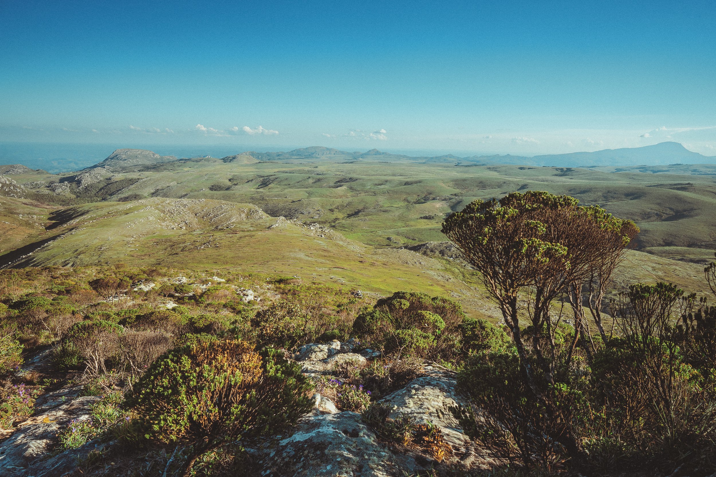
Our journey from Mozart’s house to tonight’s accommodations in the northern reaches of the Park is yet another spectacular feast for the senses; a spiritual & geographic continuation of our journey yesterday, and the final distance of the 5-day stretch of open, historic trails that began in São Gonçalo do Rio das Pedras on Day 3. Sweeping canyons, steep escarpments, fast-moving rivers, funky hoodoos, and all manner of rocky outcrops—if it weren’t for the flowing fields of campo limpo and groves of sempre-vivas, you might swear we were in the U.S. Southwest.
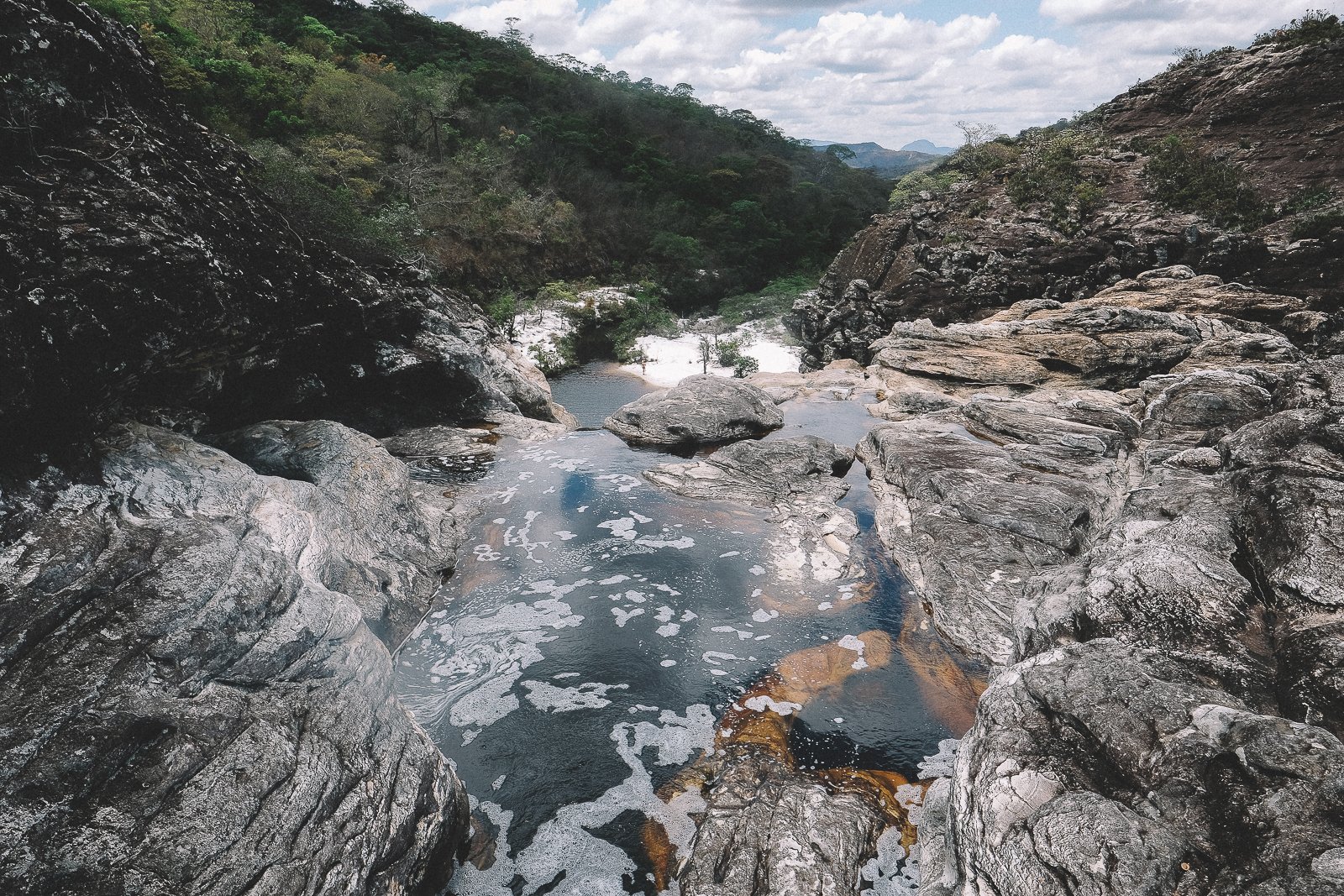
The trail in this part of the Espinhaço can get rather hot quickly. At this elevation, and without the benefit of shady trees or shadow-casting mountains during much of the early part of the day, you may feel the sun a bit more than we have on recent treks. Luckily, there are plenty of scattered rock shelters along the way,¹ and Rio Preto is famous for its pristine water attractions. Pending our pace, we should have an opportunity this evening to visit a pair of bath-worthy waterfalls: the white sand beach-lined Cachoeira dos Crioulos, and the very photogenic Cachoeira da Sempre Viva. If, for whatever reason, we find ourselves running behind schedule, there are a number of exceptional swimming spots around our accommodations that we can make use of upon our arrival this evening, and we can circle back to the two falls tomorrow (each deserves a solid lounging session).
The rooms at the Park Lodge are simple, but clean, fairly spacious, and welcoming, with hot water showers and quick access to all of the Park amenities, including a barbecue area, small restaurant, public restrooms, and campground. It’s an incredibly pleasant place to spend time, and the plethora of pretty, easily-accessible natural areas & well-marked trails make it feel much more comfortable to us than it probably does to most other visitors.² Tonight’s dinner is a surprise, but we can tell you this much: we won’t be eating at the restaurant.
¹ A hallmark of any trail pioneered by tropeiros, who always took shelter & water into account when charting new paths.
² Standards tend to get a little skewed after a week on the trail.
Distance (km): 18 (trek)
Elevation Gain/Loss/Cumulative (m): 314/884/1198
Waterfalls: 2 (Crioulos, Sempre Viva)
Conservation Units: 1 (Rio Preto State Park)
Accommodations: Rio Preto State Park Lodge (Lodge; Rio Preto State Park)
Inclusions: Breakfast, Lunch (Trail), Snacks (Trail), Dinner
Connectivity: No signal or Wi-Fi at Mozart’s house, no 5G/4G/3G on the trail; frustratingly slow (but workable, with patience) Wi-Fi at the Lodge restaurant in Rio Preto State Park
CACHOEIRA DA SEMPRE VIVA, RIO PRETO SP
Chapada do couto, Rio Preto STate Park
Day 9
day 9
Rio Preto State Park (Rest Day***)
Congratulations! Today’s a rest day, and take it from us: we all deserve it. There are few places better suited for—or more deserving of—an extra day on the Expedition than beautiful Rio Preto State Park, and we’ll enjoy it in Choose-Your-Own-Adventure fashion.
If we didn’t have time to make it to Cachoeira dos Crioulos or Cachoeira da Sempre Viva yesterday—or if we did, but you’d like to go back & do some real (midday, untimed) lounging—today is the day to do it. For those who’d prefer to stay closer to the Lodge & restaurant, plenty of nearby water attractions await, including prime swimming hole/beach combos like Poço do Veado & Poço de Areia. For the extra-hearty among us who’d like to explore further afoot, there are several mid-length (10 km-ish) trails to smaller, less-visited attractions like Vargem Grande & Corredeiras.
With regards to our meals today: breakfast, lunch, and dinner are all pre-paid at the Lodge restaurant today, and you’re welcome to eat at any time you’d like during restaurant hours. If you’re planning on visiting Crioulos & Sempre-Viva (or any other further attraction) and would like to arrange for a to-go lunch to take with you on the trail, that can be arranged, as well.
Today is a transition day between the 1st & 2nd Chapters of our Expedition, and we won’t be having another rest day until Day 18, after our traverse of Sempre Vivas National Park. Whatever you decide to do with it, we hope you enjoy it fully. You (and your feet!) deserve it.
Distance (km): N/A
Elevation Gain/Loss/Cumulative (m): N/A
Waterfalls: 0-4 (Optional: Crioulos, Sempre-Viva, Vargem Grande; Corredeiras)
Conservation Units: 1 (Rio Preto State Park)
Accommodations: Rio Preto State Park Lodge (Lodge; Rio Preto State Park)
Inclusions: Breakfast, Lunch, Snacks (Trail), Dinner
Connectivity: Frustratingly slow (but workable… with patience) Wi-Fi at the Lodge restaurant

